2021 Map of Amukta C-2 NW
USGS Topo · Published 2021About this map
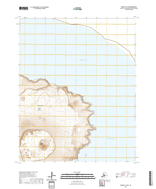
Islands of Four Mountains rise steeply from the surrounding waters in this remote reach of the Aleutian Islands. The terrain is defined by dramatic elevation changes along the coast, where the land meets the Bering Sea to the north and the Pacific Ocean to the south. A notable indentation on the eastern shoreline, East Cove, provides one of the few breaks in the otherwise precipitous coastal profile. The landscape is dominated by heavy contouring, reflecting the volcanic and maritime character of the Aleutians West Census Area. This survey serves as a precise record of the shoreline and topographical features of this uninhabited island group, charting the relationship between the high peaks and the surrounding seas without the presence of roads or human settlements.
Find a feature on this map
9 named features on this map. Tap any name to fly to it.
Don’t see what you’re looking for? This feature index may not catch every label — zoom into the map to look around manually.
Map Details
Editions of this 2021 Amukta C-2 NW Map
This is the sole edition of this map. No revisions or reprints were ever made.