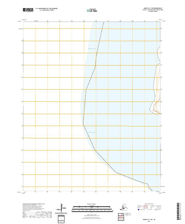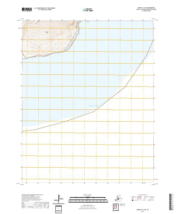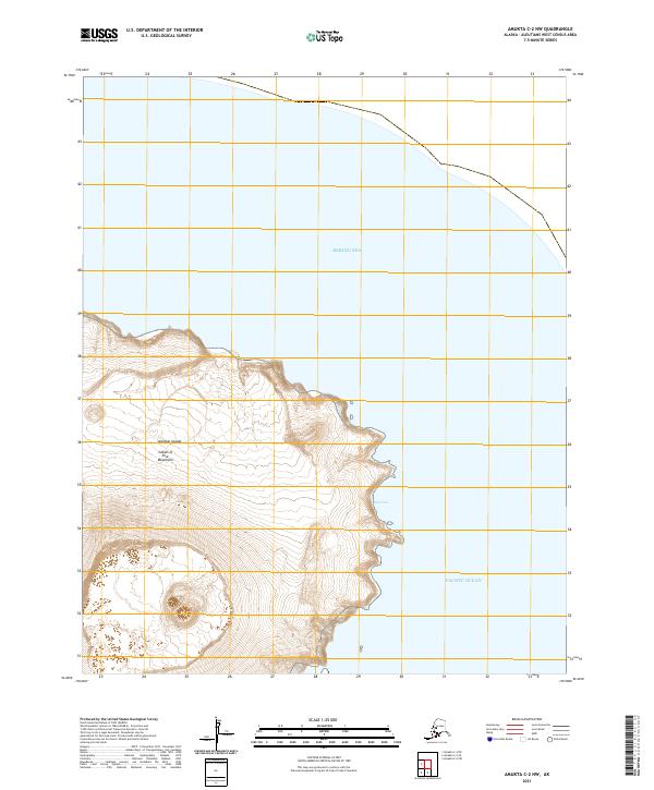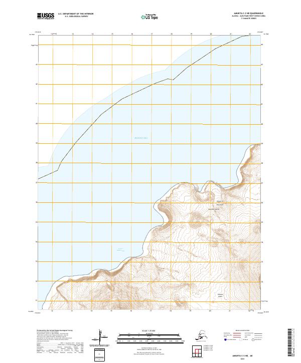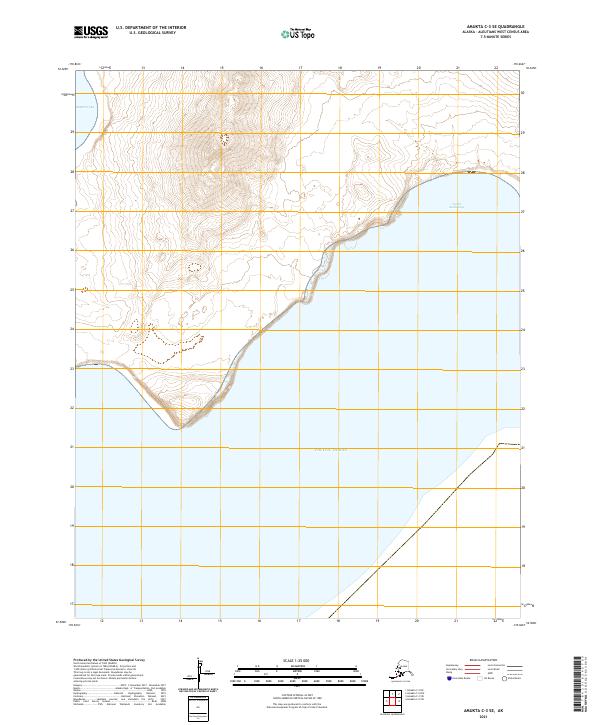
2021 Map of Amukta C-3 SE
USGS Topo · Published 2021About this map
The remote Aleutian landscape of the Bering Sea and Pacific Ocean is captured in this coastal survey, where land and water meet along the southwestern tip of a volcanic island. The topography is dominated by steep, rapid elevation gains moving inland from the northern coast, characterized by deep ravines and high ridges. Along the eastern shore, the sheltered waters of South Anchorage provide a natural indentation in the coastline. The map illustrates the harsh, uninhabited maritime environment typical of the islands in the Aleutians West Census Area, defined by intricate contour lines and the absence of developed roads or permanent settlements.
Find a feature on this map
7 named features on this map. Tap any name to fly to it.
Don’t see what you’re looking for? This feature index may not catch every label — zoom into the map to look around manually.
Map Details
Editions of this 2021 Amukta C-3 SE Map
This is the sole edition of this map. No revisions or reprints were ever made.