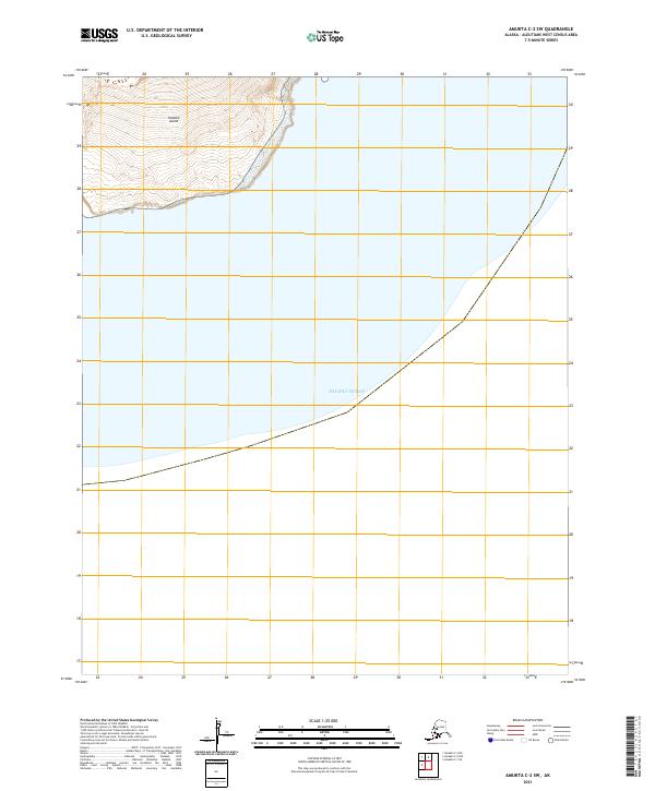
2021 Map of Amukta C-2 SW
USGS Topo · Published 2021About this map
Yunaska Island rises from the northern reaches of this map, its southern slopes descending sharply into the surrounding waters. The terrain is characterized by steep contour lines that illustrate the volcanic geography of the Aleutian chain, providing a clear picture of the island's coastal profile where land meets the Pacific Ocean. This 2021 update from the U.S. Geological Survey preserves the topographical details of this uninhabited landscape, documenting the elevation changes and shoreline as they existed in the early twenty-first century. The mapping reflects the isolated nature of the island, focusing on the natural contours and the maritime boundary defined by the ocean.
Find a feature on this map
5 named features on this map. Tap any name to fly to it.
Don’t see what you’re looking for? This feature index may not catch every label — zoom into the map to look around manually.
Map Details
Editions of this 2021 Amukta C-2 SW Map
This is the sole edition of this map. No revisions or reprints were ever made.