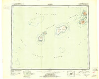
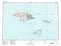
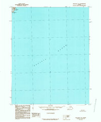
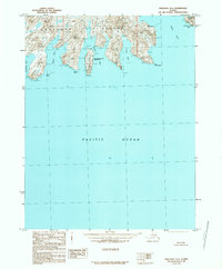
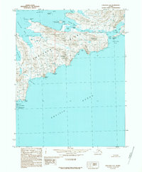
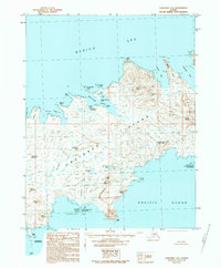
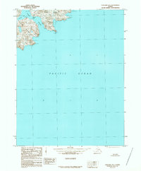
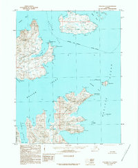
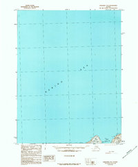
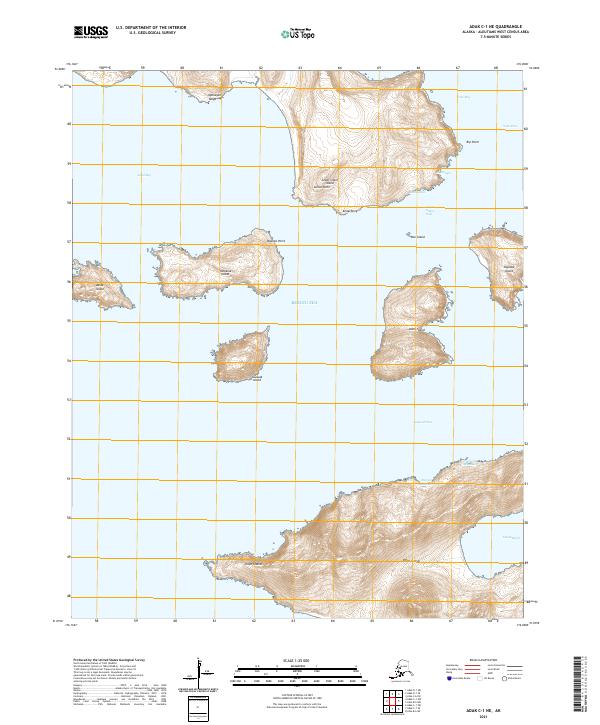
1951 Map of Amukta
USGS Topo · Published 1952About this map
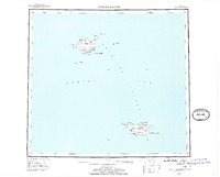
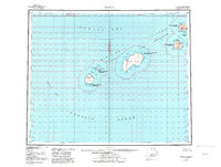
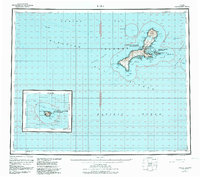
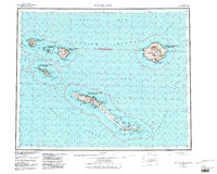
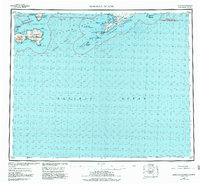
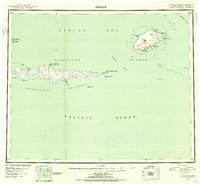
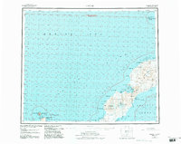
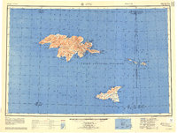
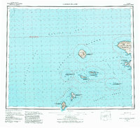
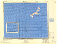
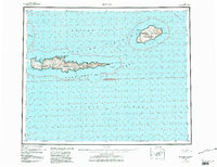
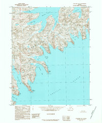
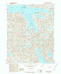
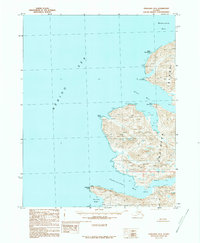
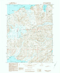
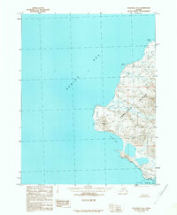
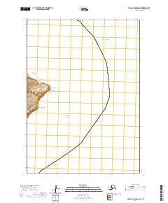
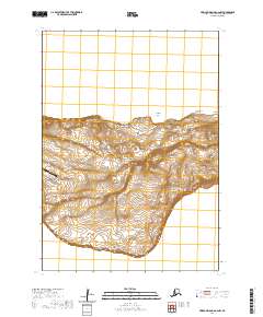
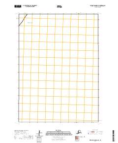
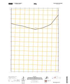
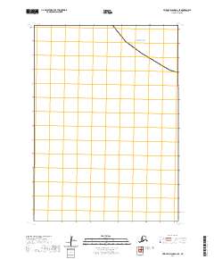
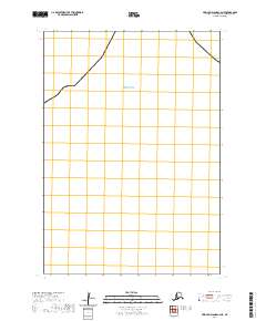
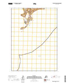
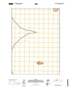
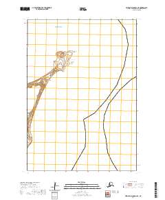
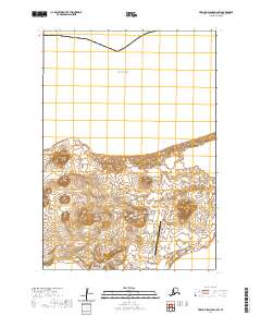
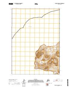
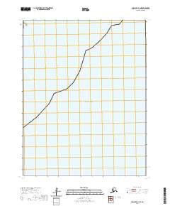
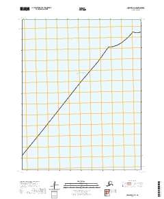
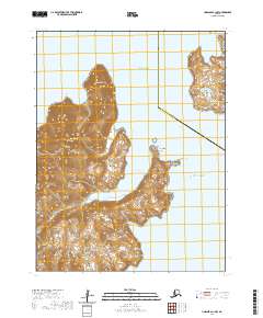
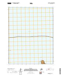
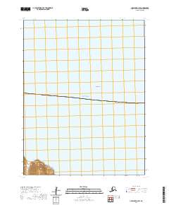
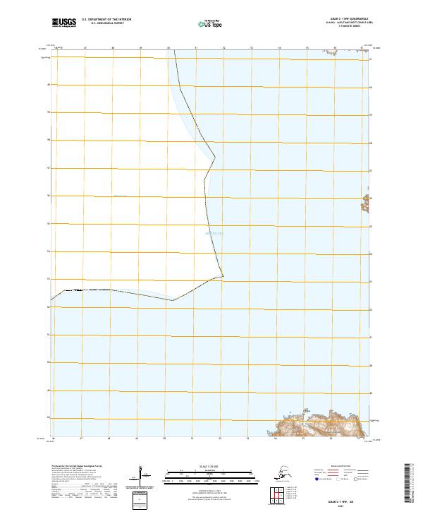
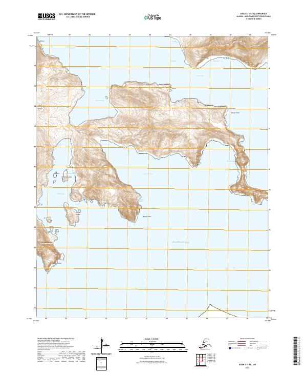
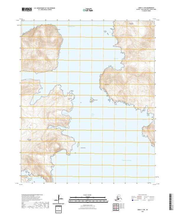
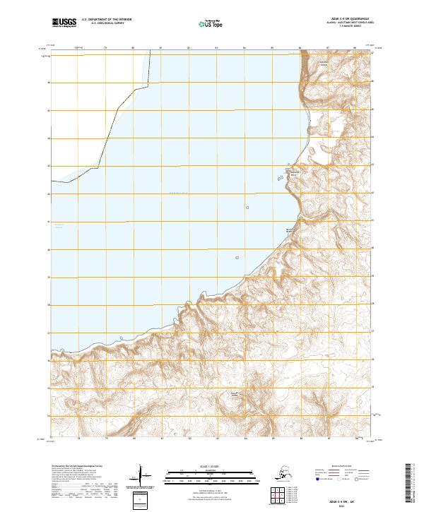
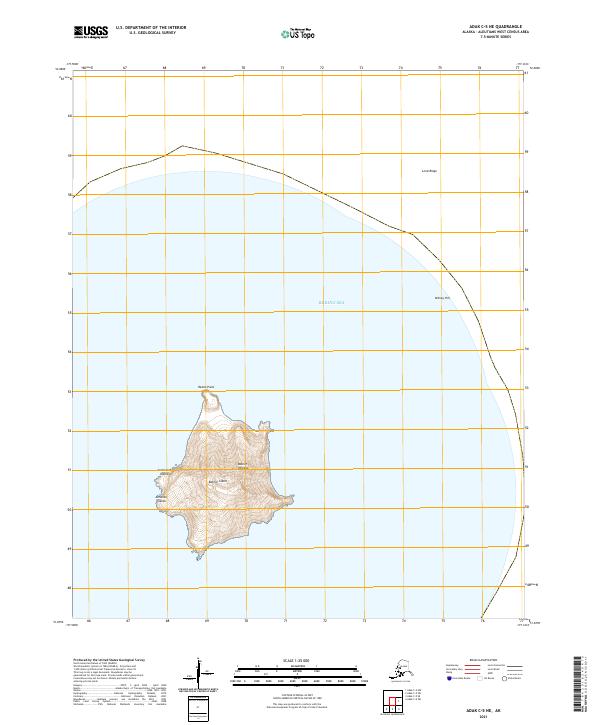
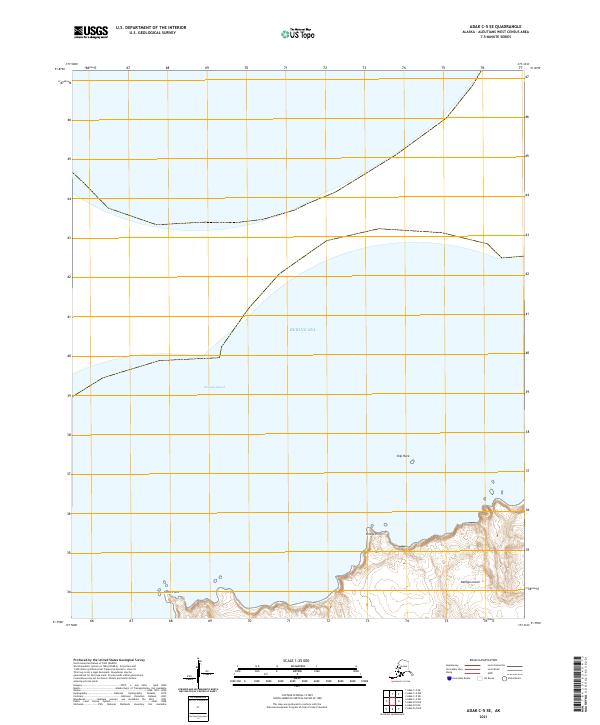
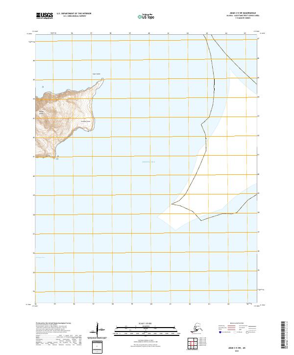
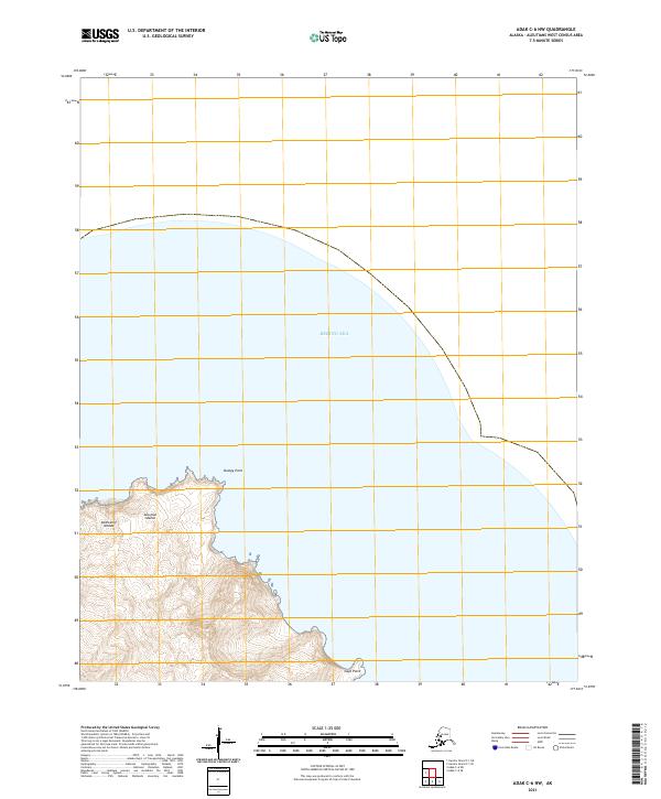
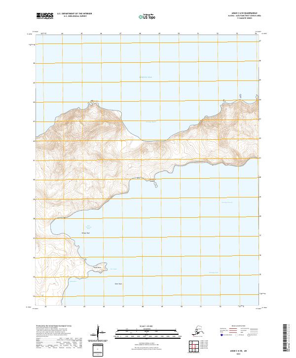
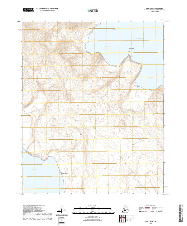
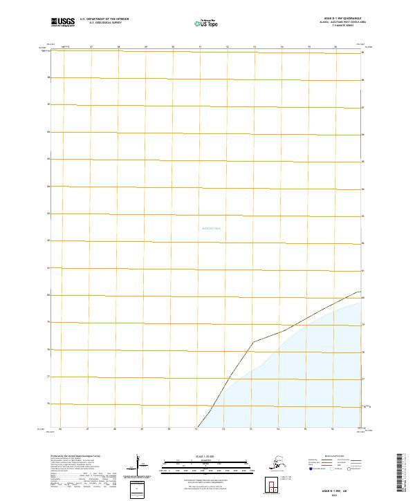
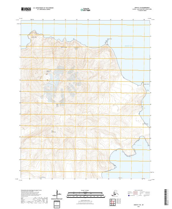
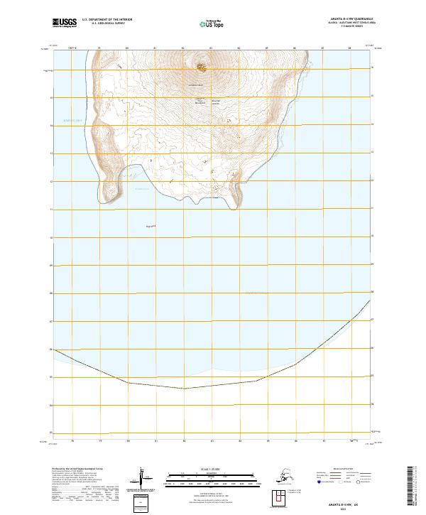
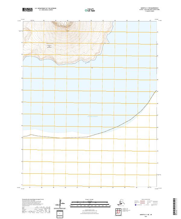
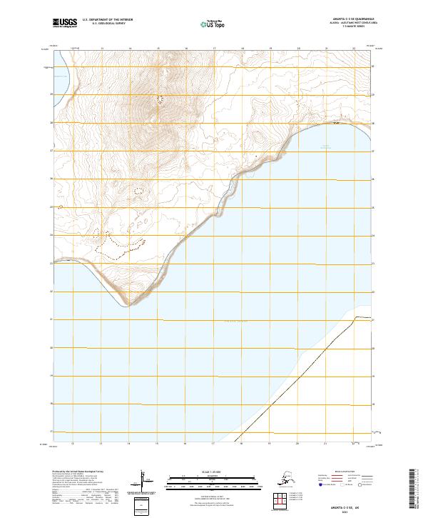
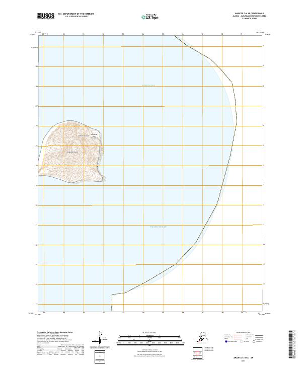
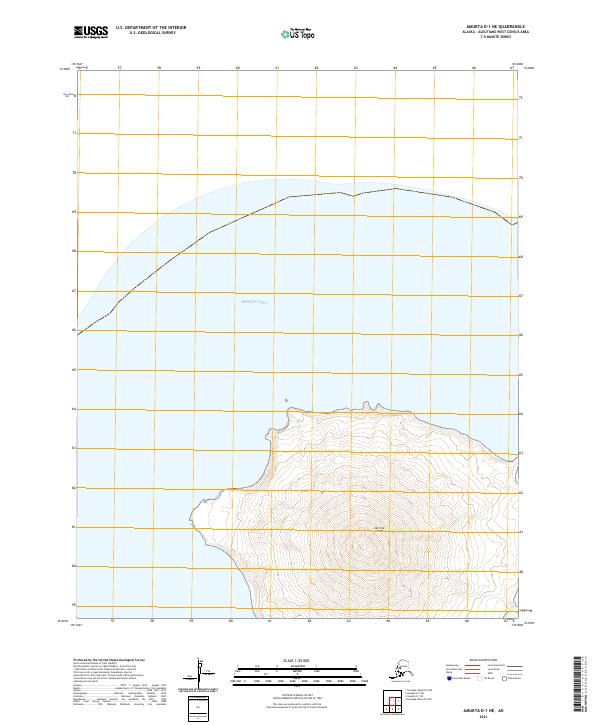
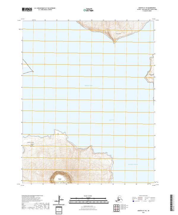
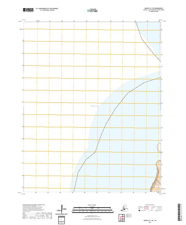
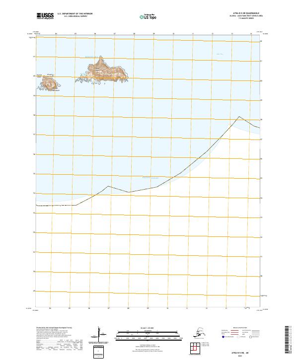
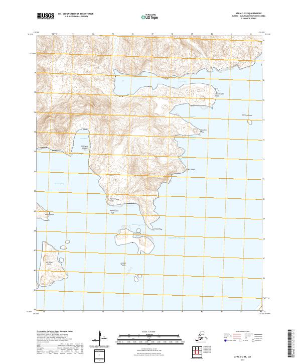
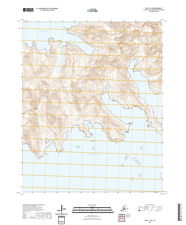
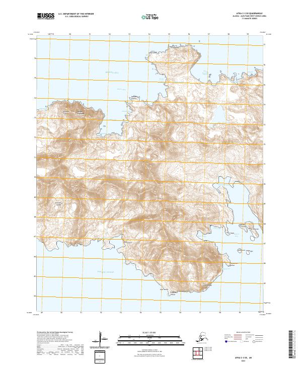
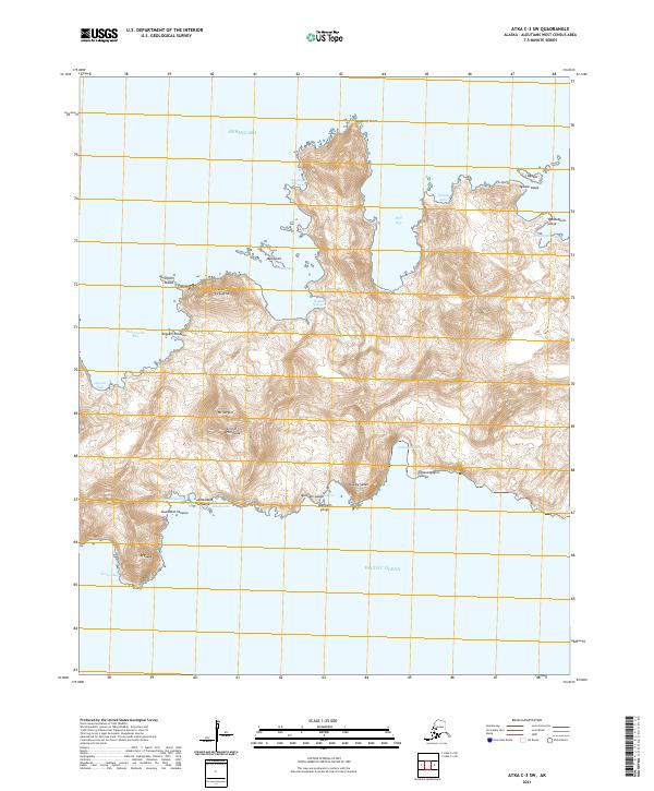
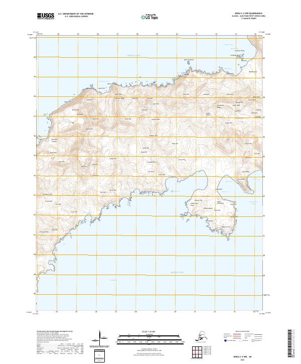
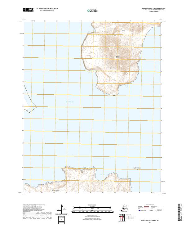
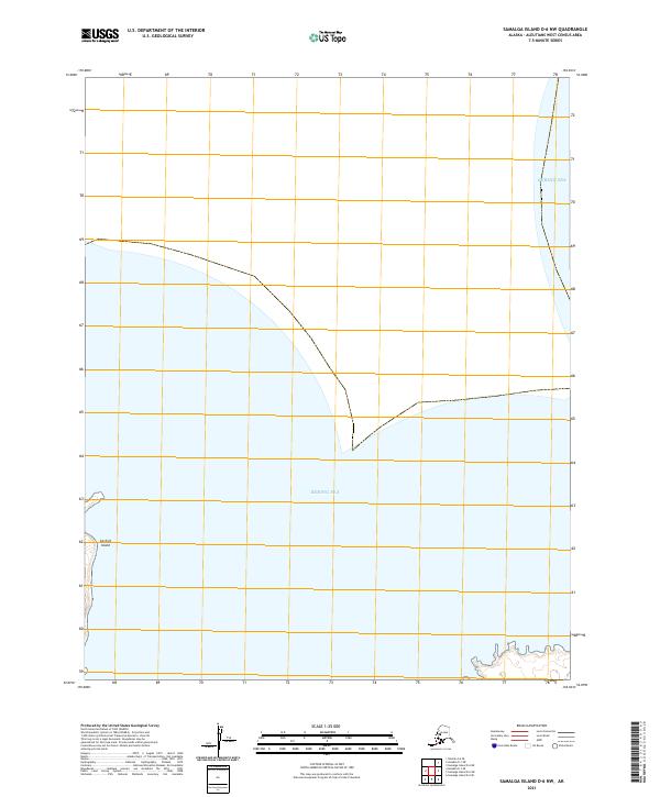
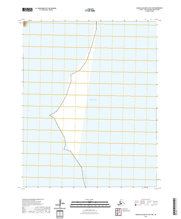
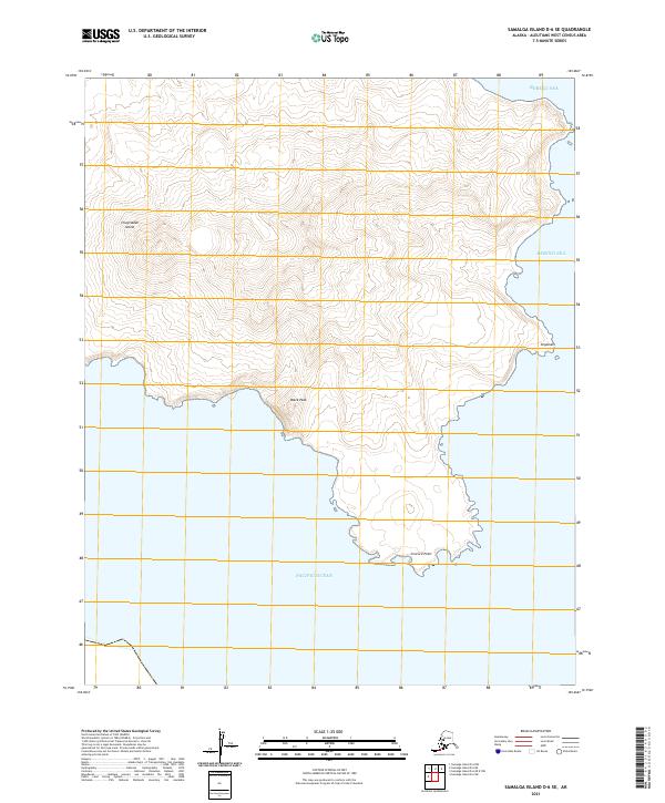
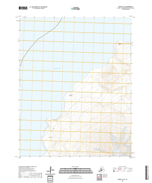
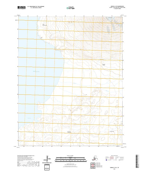
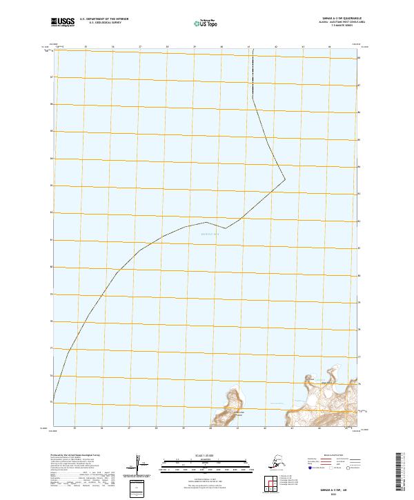
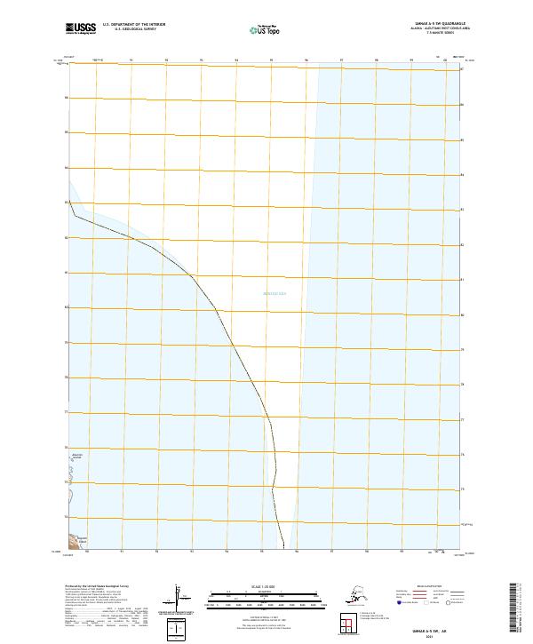
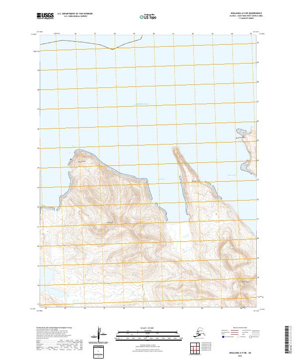
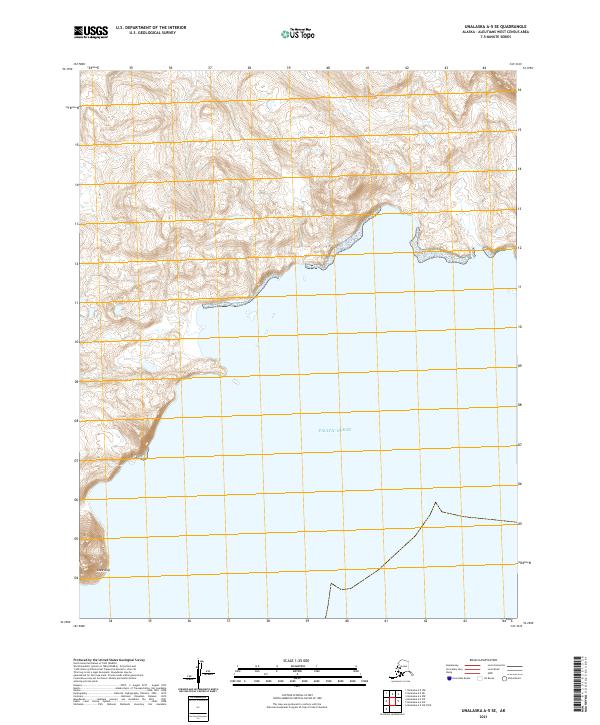
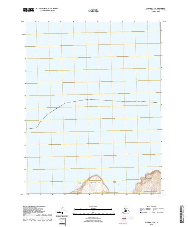
Aleutian Islands and the waters of the Bering Sea define this mid-century reconnaissance of the central island chain. The survey depicts the volcanic archipelago as it appeared between 1933 and 1943, within the boundaries of the Aleutian Islands National Wildlife Refuge. The isolated Yunaska Island is shown with topographic detail, featuring landform markers like Bold, Knob, and Easy 229, as well as several coastal entry points including Crater Anchorage and South Anchorage.
Find a feature on this map
25 named features on this map. Tap any name to fly to it.
Don’t see what you’re looking for? This feature index may not catch every label — zoom into the map to look around manually.
Map Details
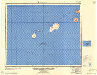
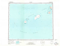
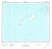
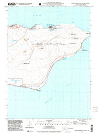
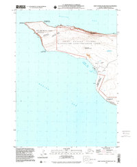
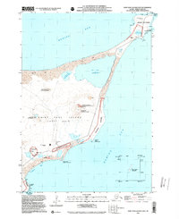
Editions of this 1951 Amukta Map
5 editions found
Historical Maps of Unorganized Borough Through Time
320 maps found
1948 Pribilof Islands
Aleutians West Borough, AK

1949 Pribilof Islands
Aleutians West Borough, AK
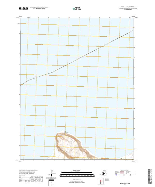
1951 Amukta
Aleutians West Borough, AK

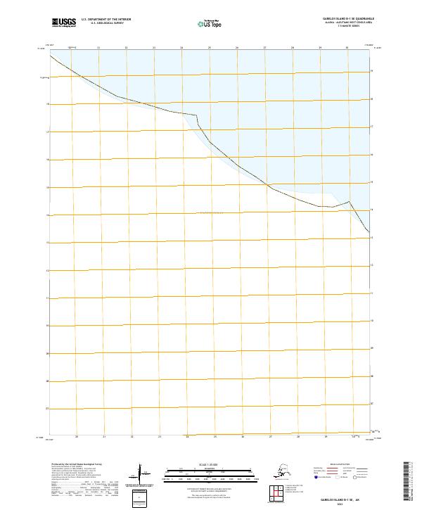
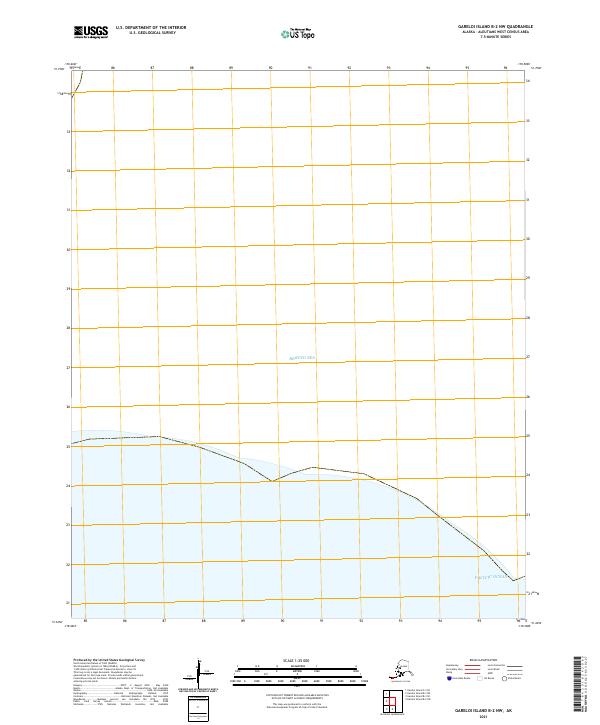
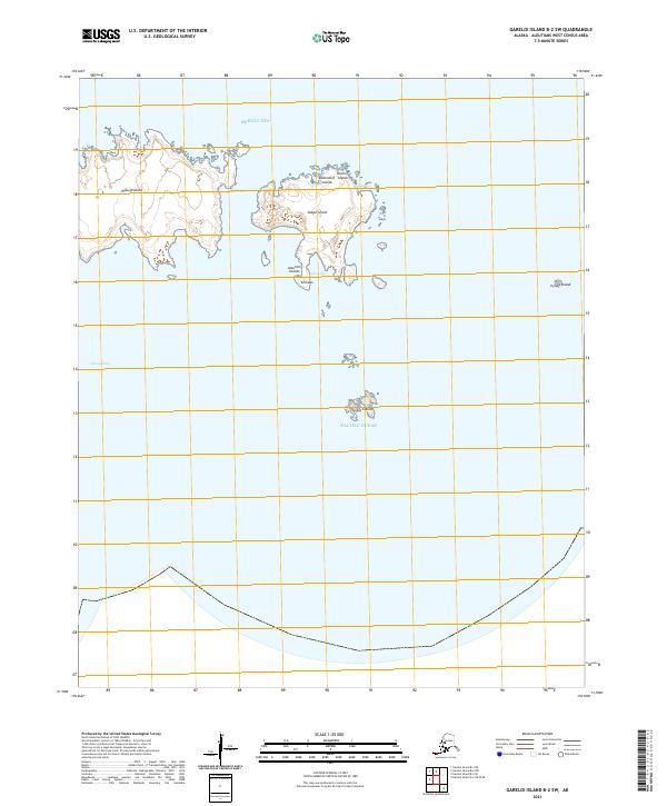
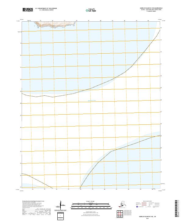
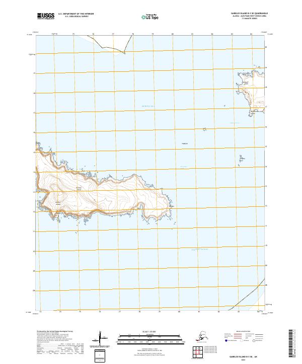
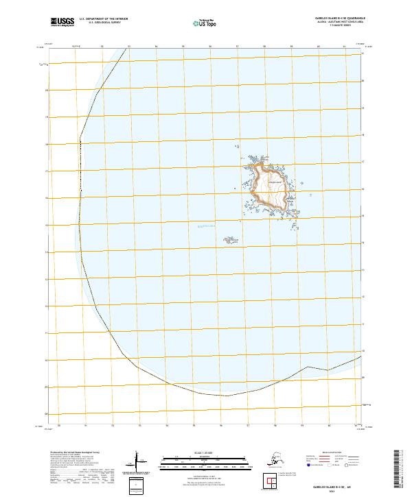
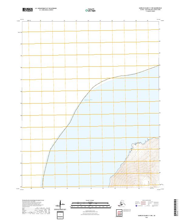
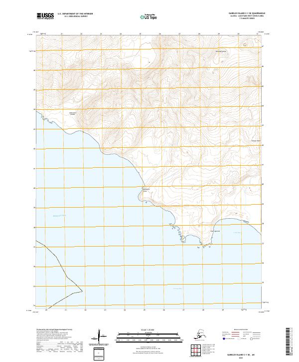
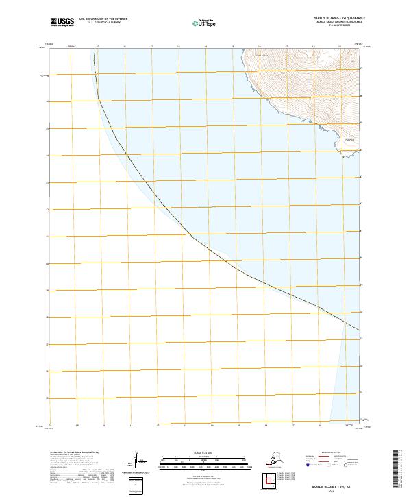
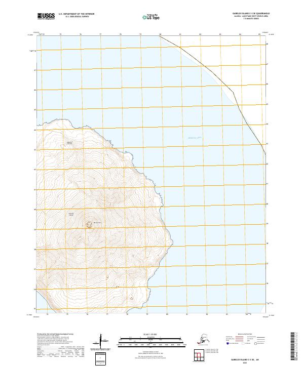
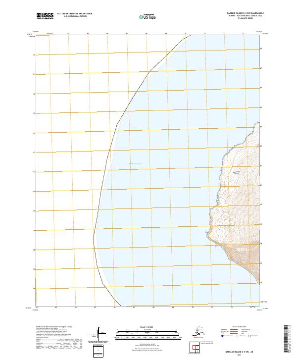
1951 Gareloi Island
Aleutians West Borough, AK
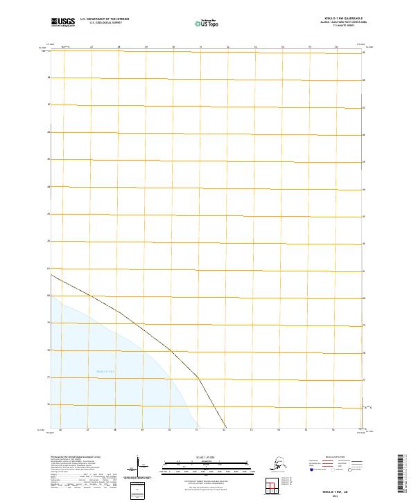
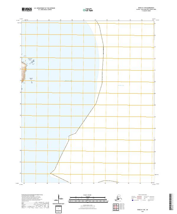
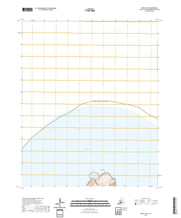
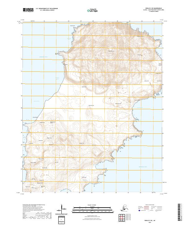
1951 Kiska
Aleutians West Borough, AK
1951 Rat Islands
Aleutians West Borough, AK
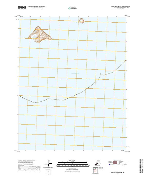
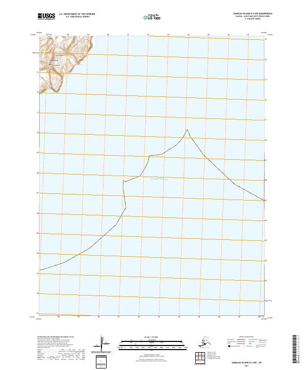
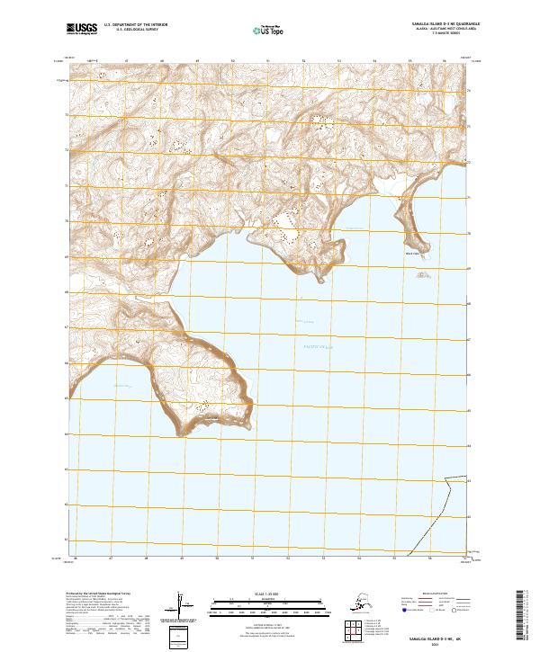
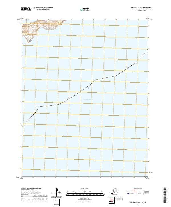
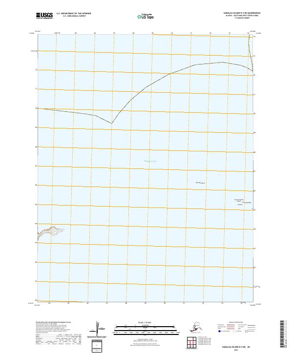
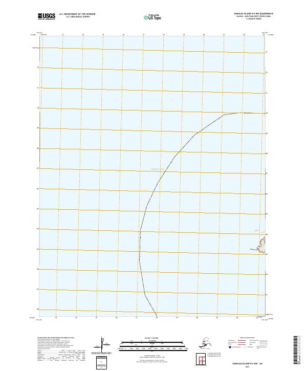
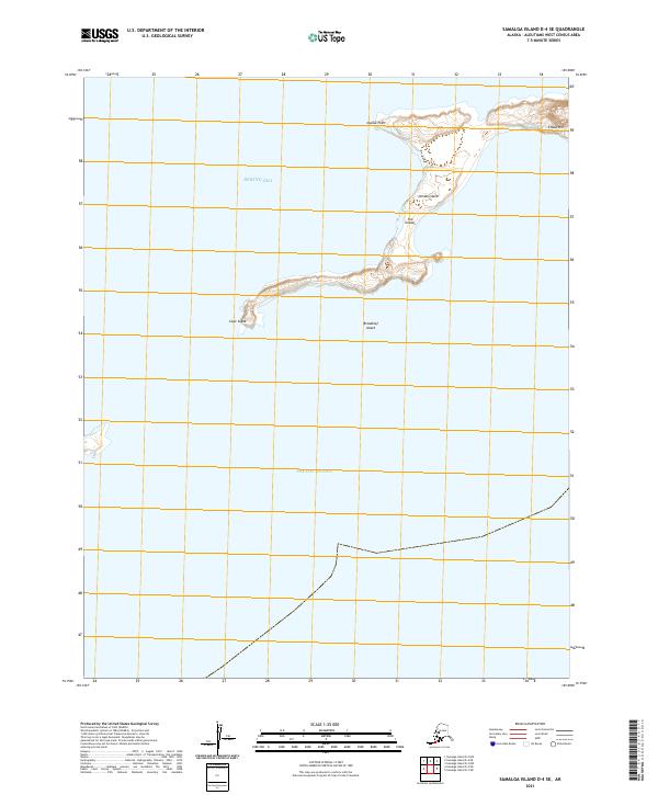
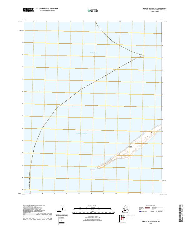
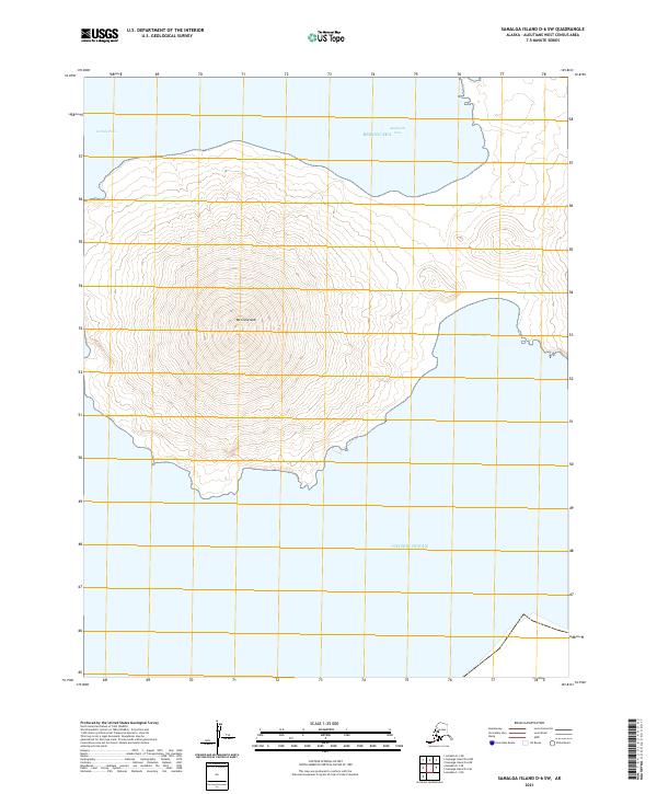
1951 Samalga Island
Aleutians West Borough, AK
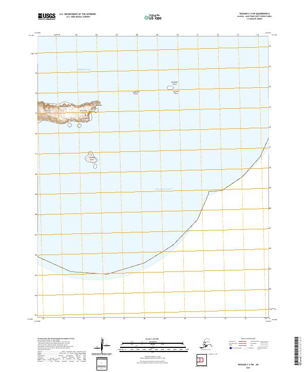
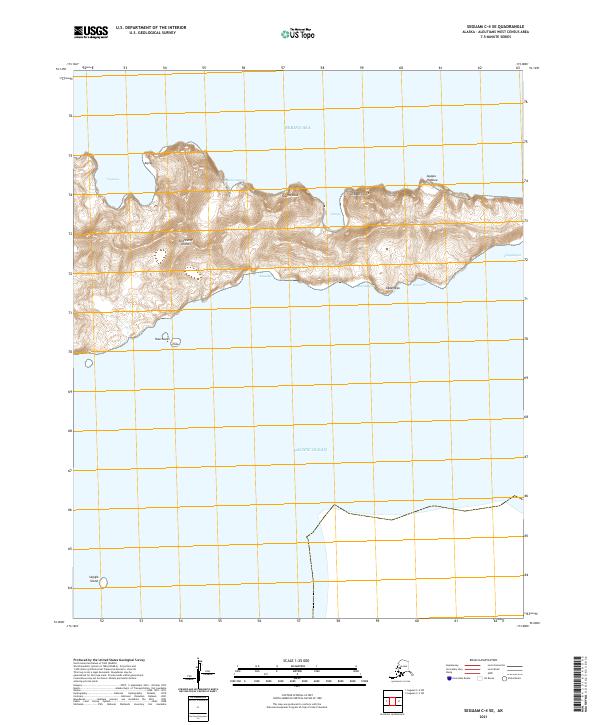
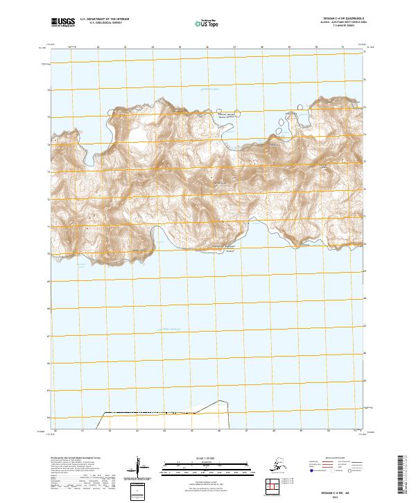
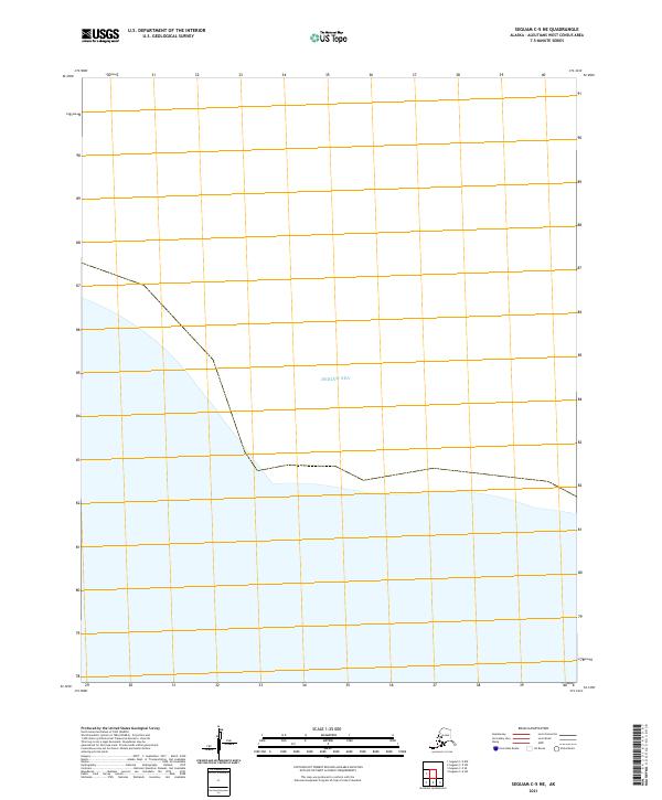
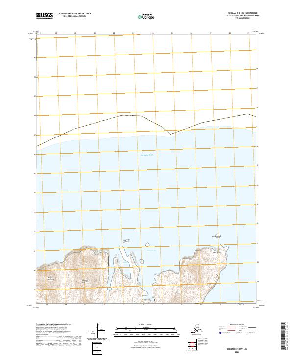
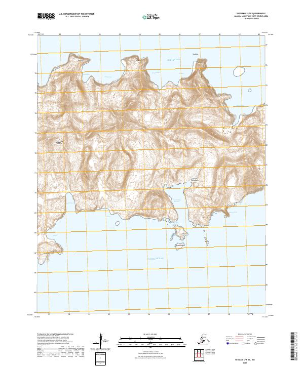
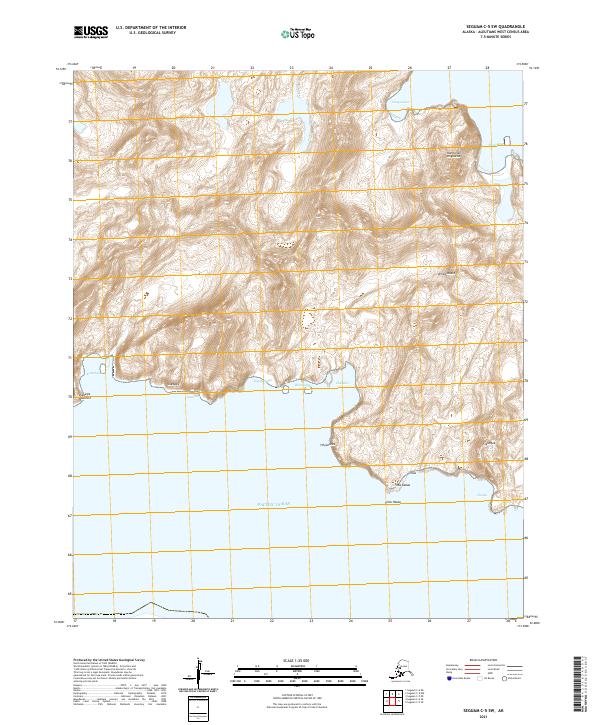
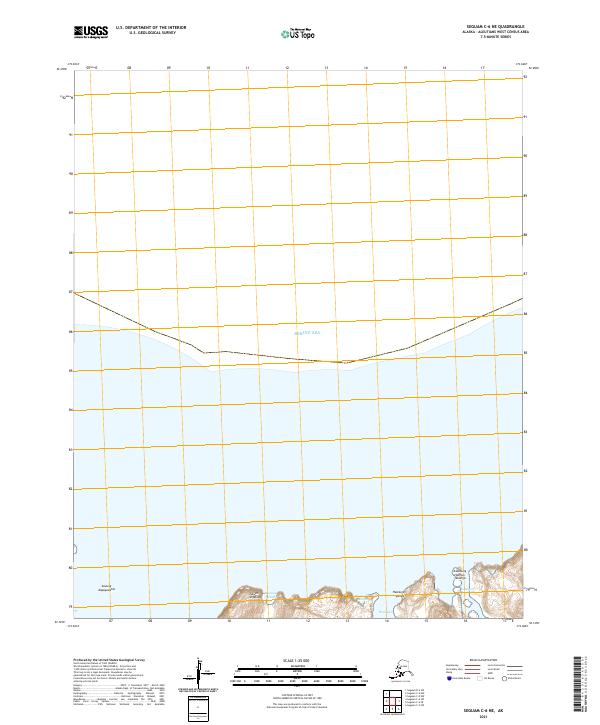
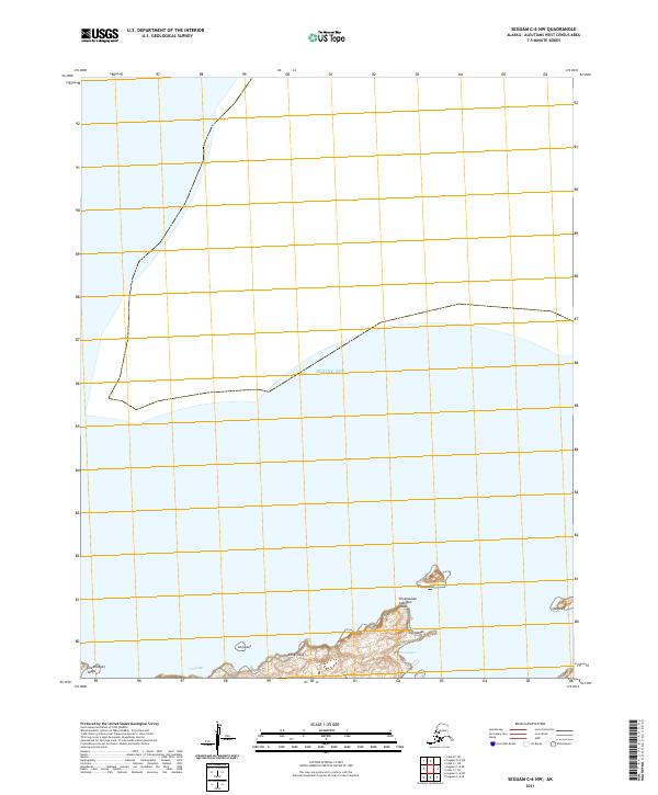
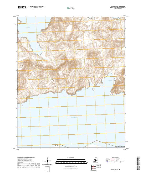
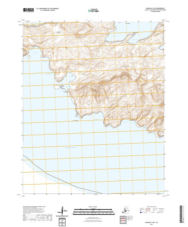
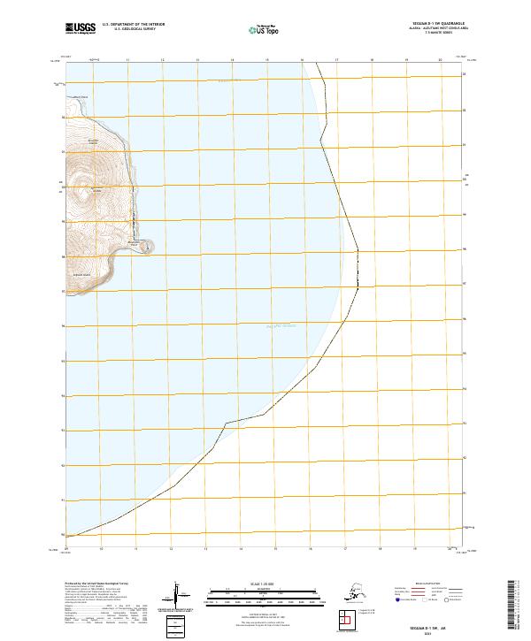
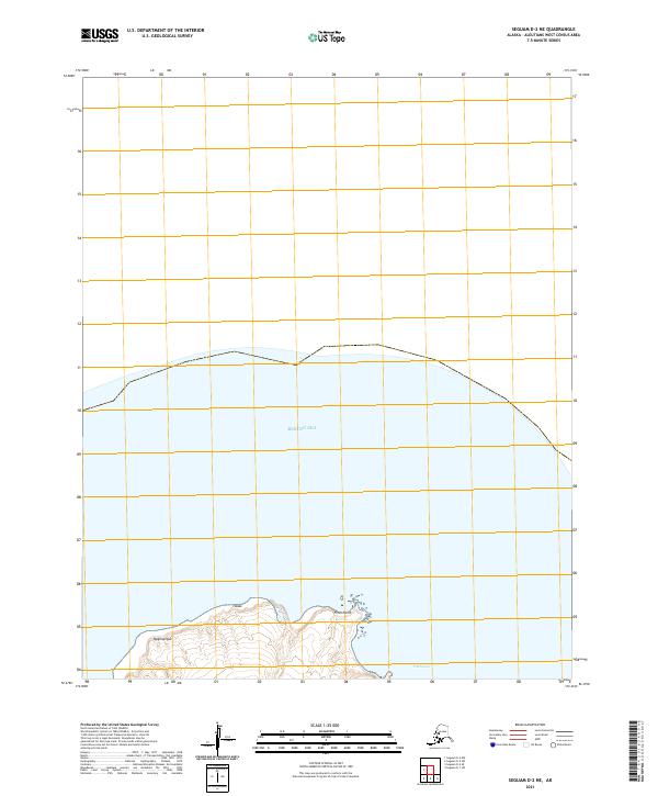
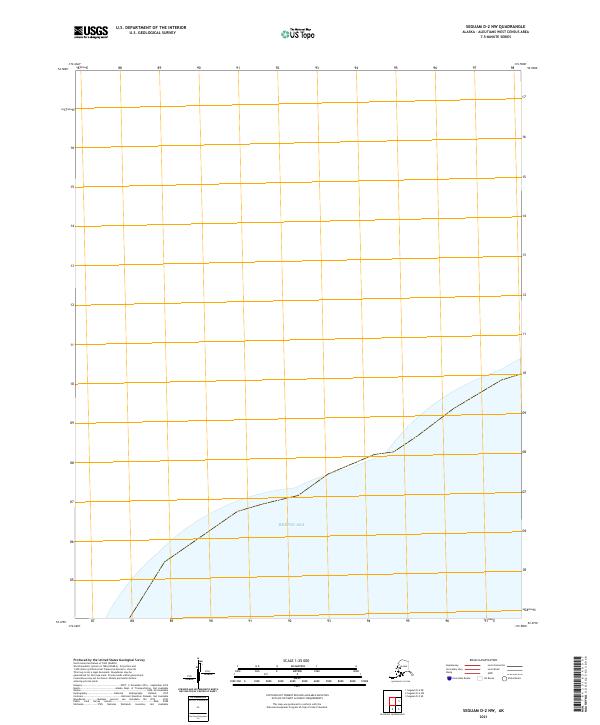
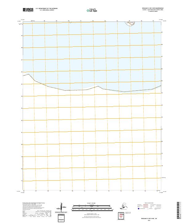
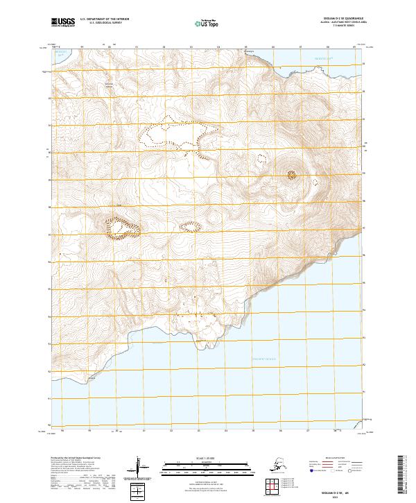
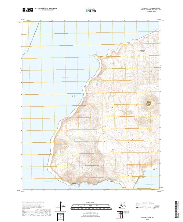
1951 Seguam
Aleutians West Borough, AK
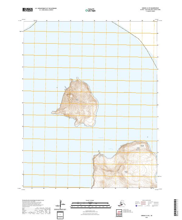
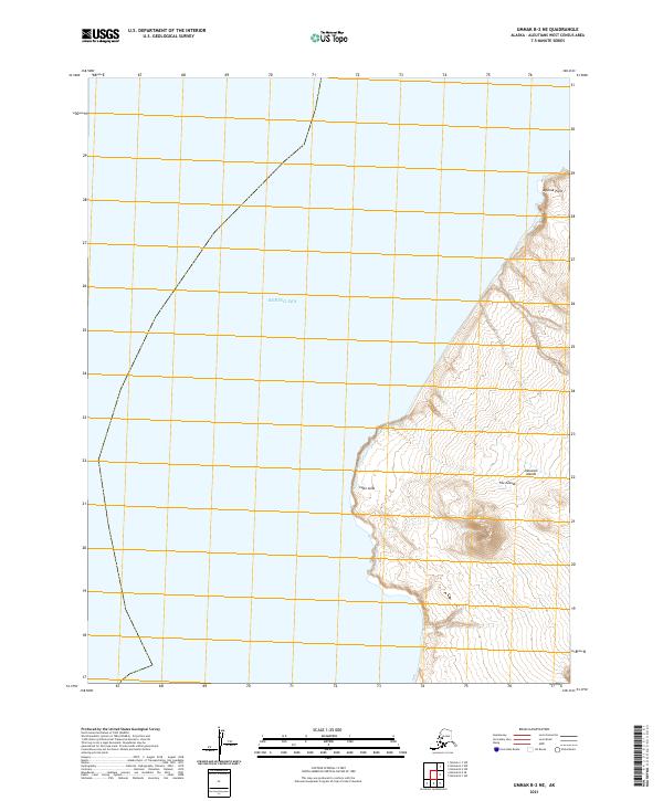
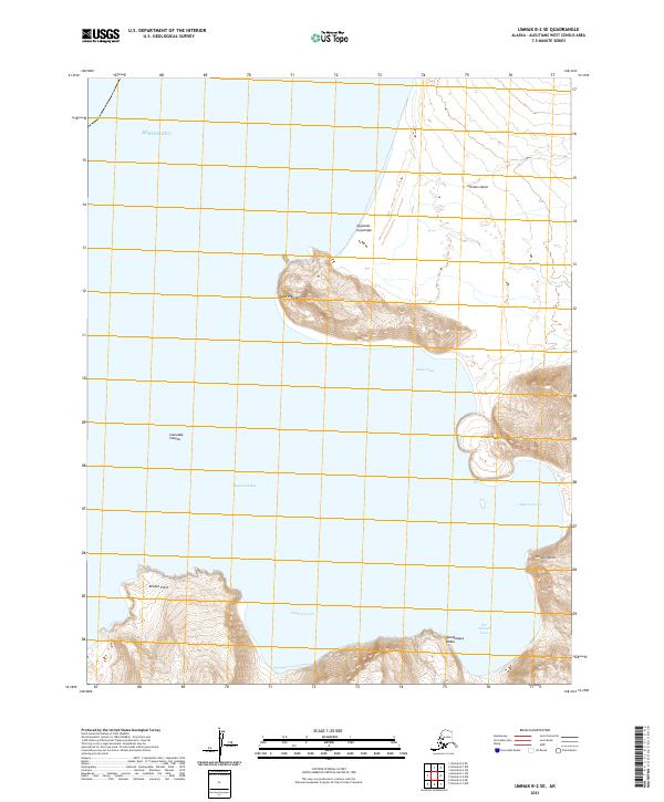
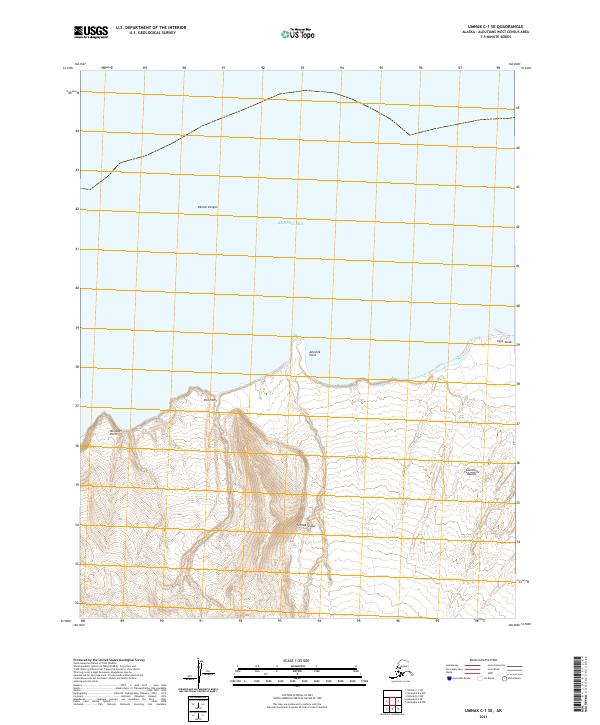
1951 Umnak
Aleutians West Borough, AK
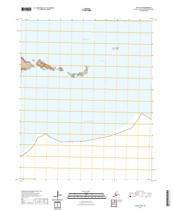
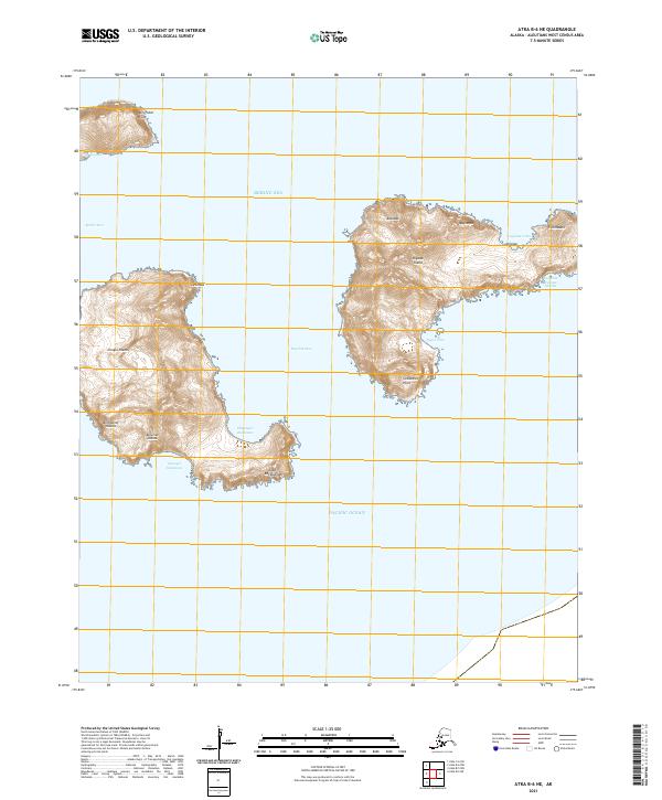
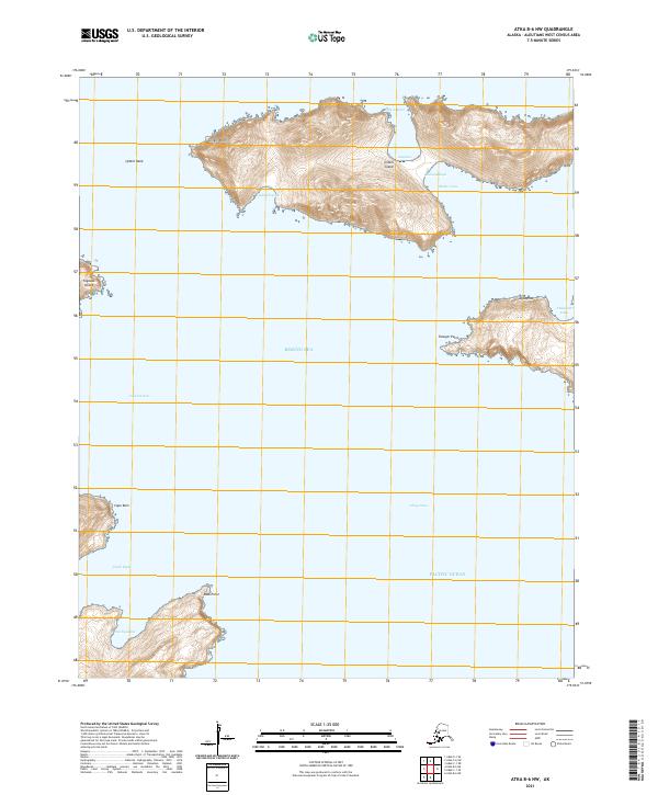
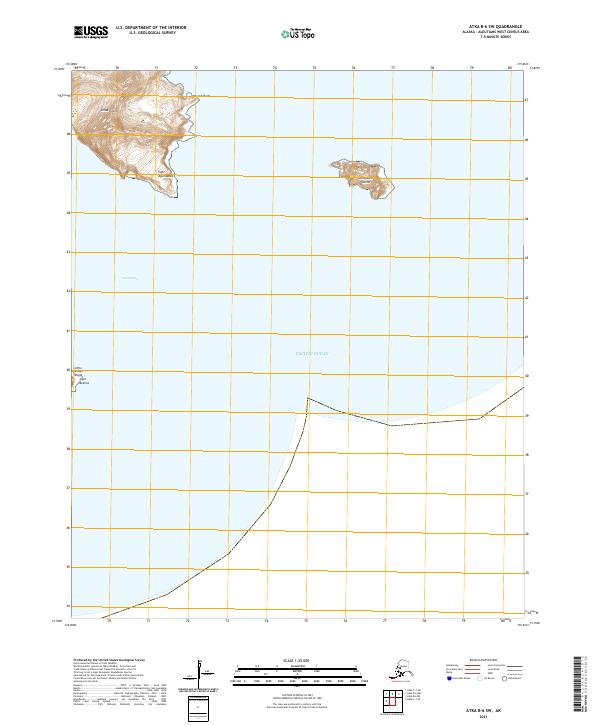
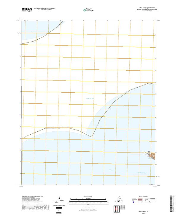
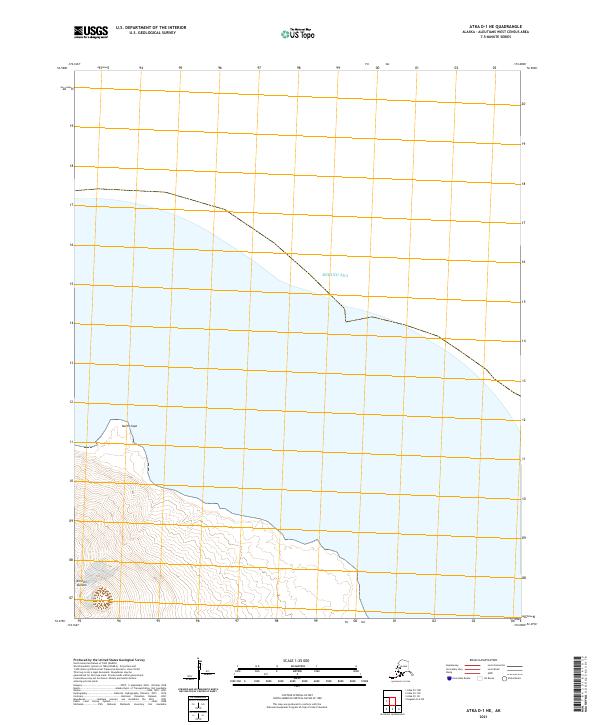
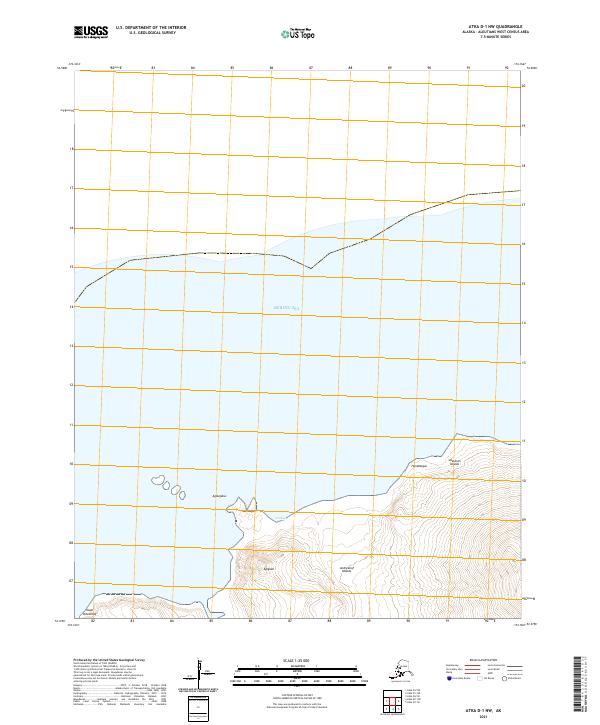
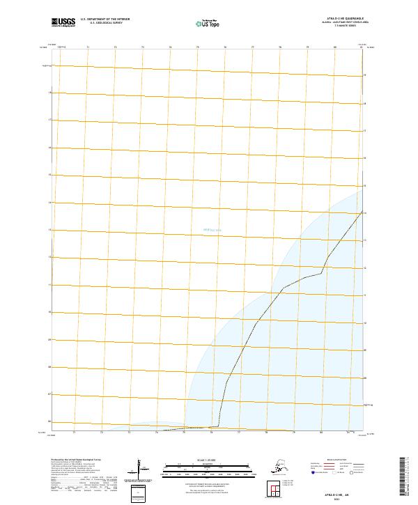
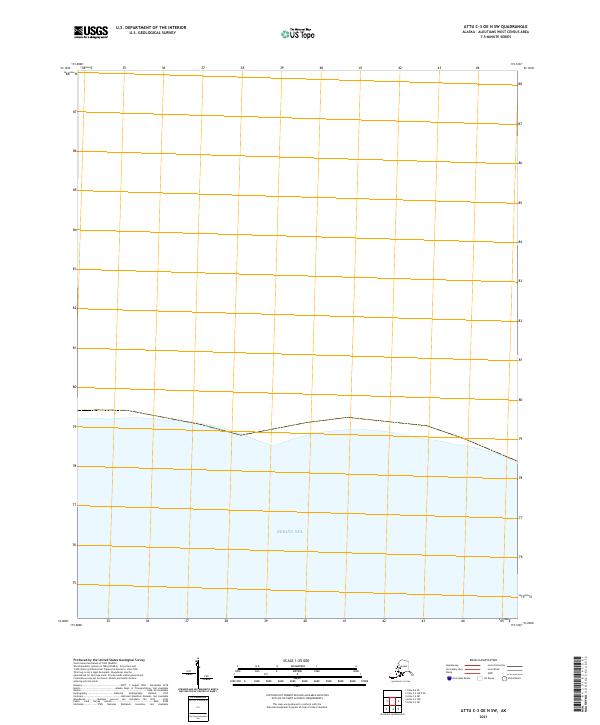
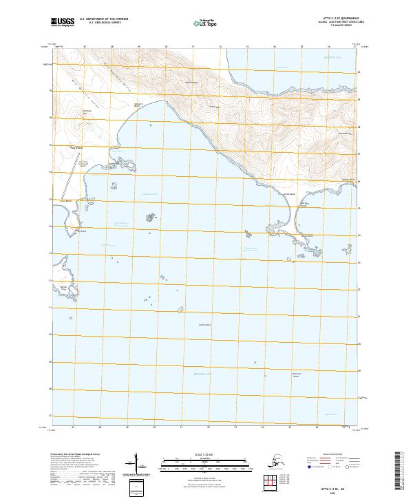
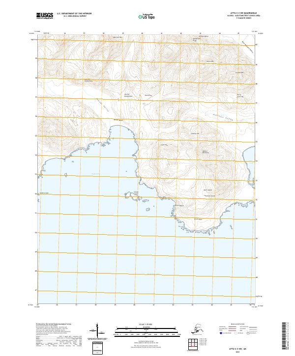
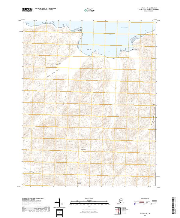
1952 Attu
Aleutians West Borough, AK
1953 Attu
Aleutians West Borough, AK
1954 Gareloi Island
Aleutians West Borough, AK
1958 Kiska
Aleutians West Borough, AK

1958 Pribilof Islands
Aleutians West Borough, AK

1958 Samalga Island
Aleutians West Borough, AK
1958 Seguam
Aleutians West Borough, AK

1958 Umnak
Aleutians West Borough, AK

1969 Pribilof Islands
Aleutians West Borough, AK
1989 Unalaska A-2
Aleutians West Borough, AK
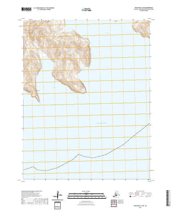
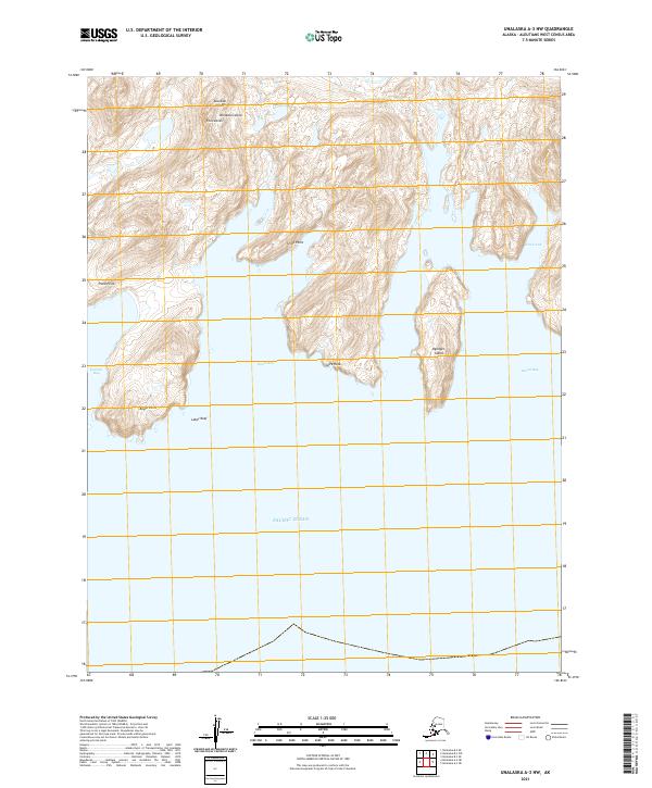
1989 Unalaska A-3
Aleutians West Borough, AK
1989 Unalaska A-4
Aleutians West Borough, AK
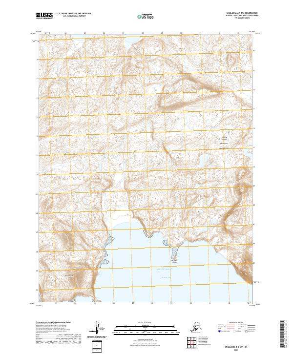
1989 Unalaska A-5
Aleutians West Borough, AK
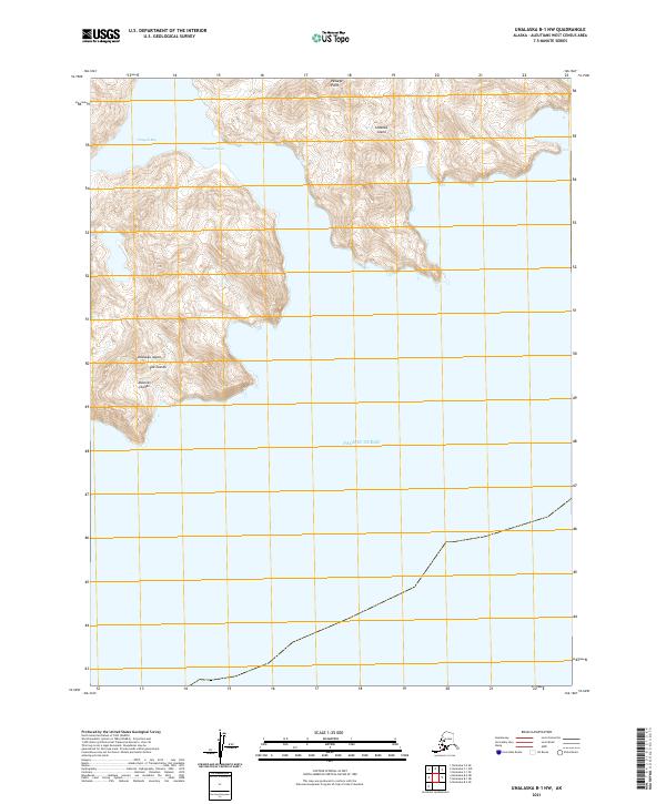
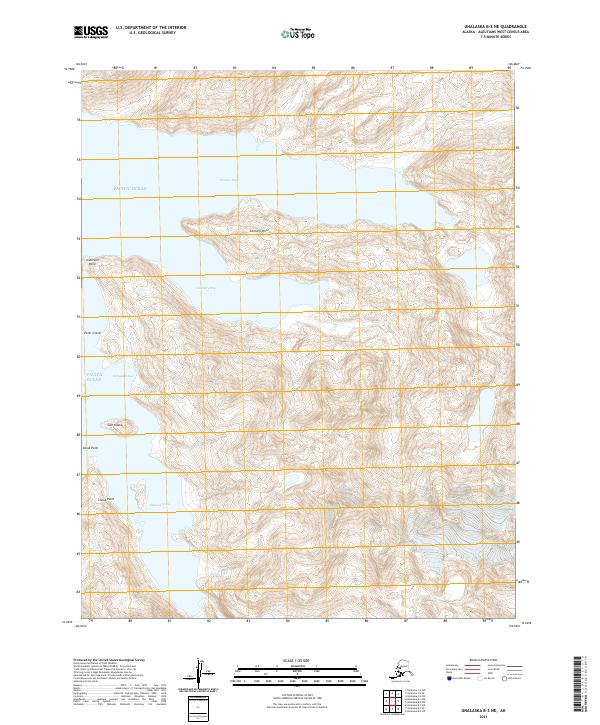
1989 Unalaska B-1
Aleutians West Borough, AK
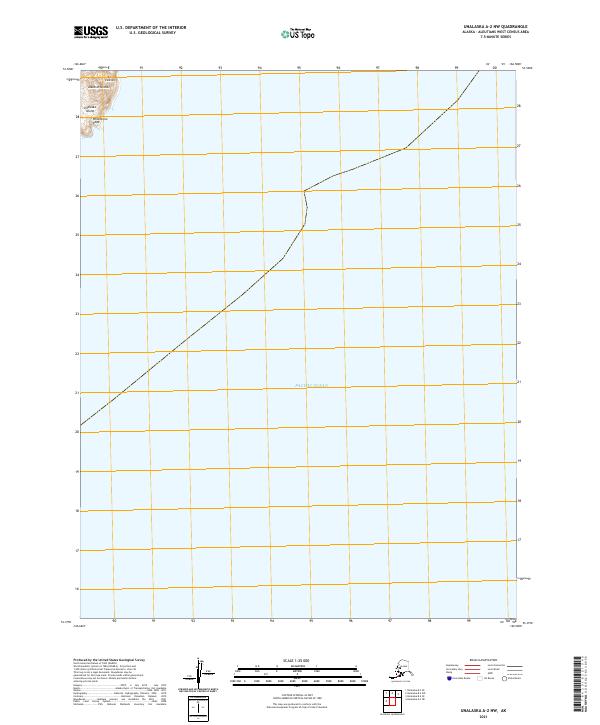
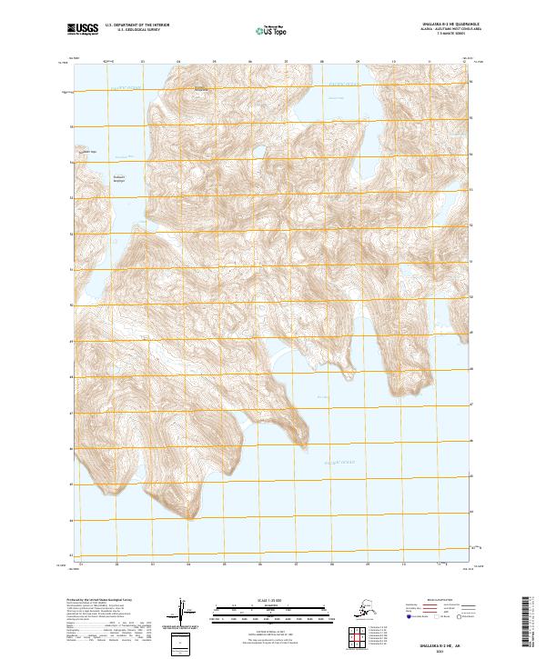
1989 Unalaska B-2
Aleutians West Borough, AK
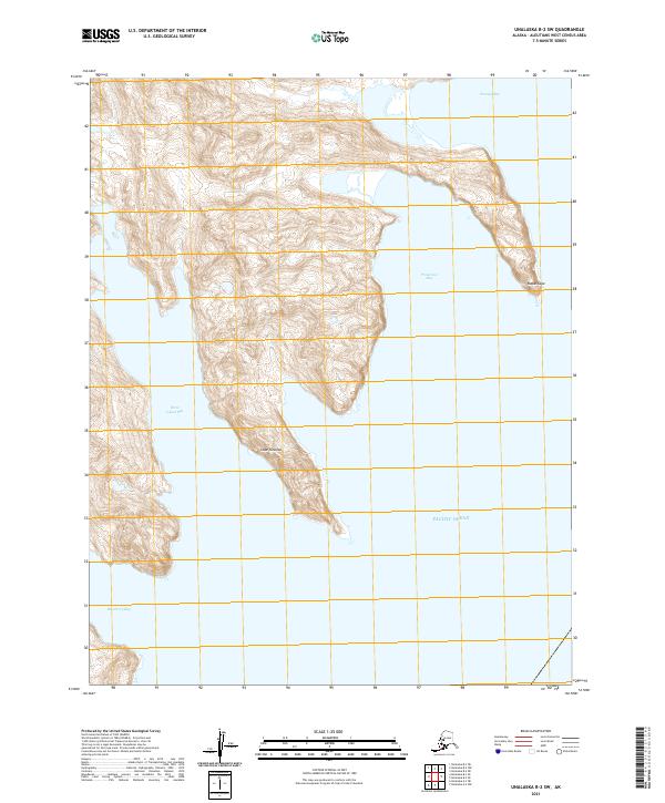
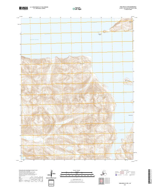
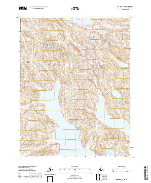
1989 Unalaska B-3
Aleutians West Borough, AK
1989 Unalaska B-4
Aleutians West Borough, AK
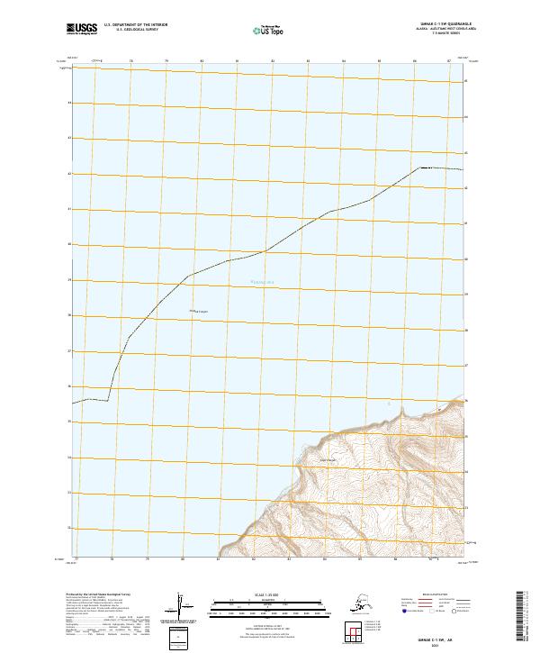
1989 Unalaska C-1
Aleutians West Borough, AK
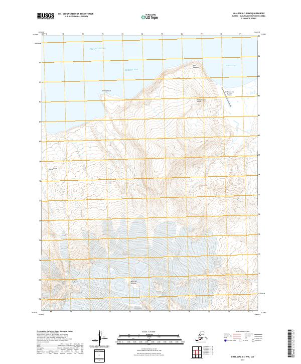
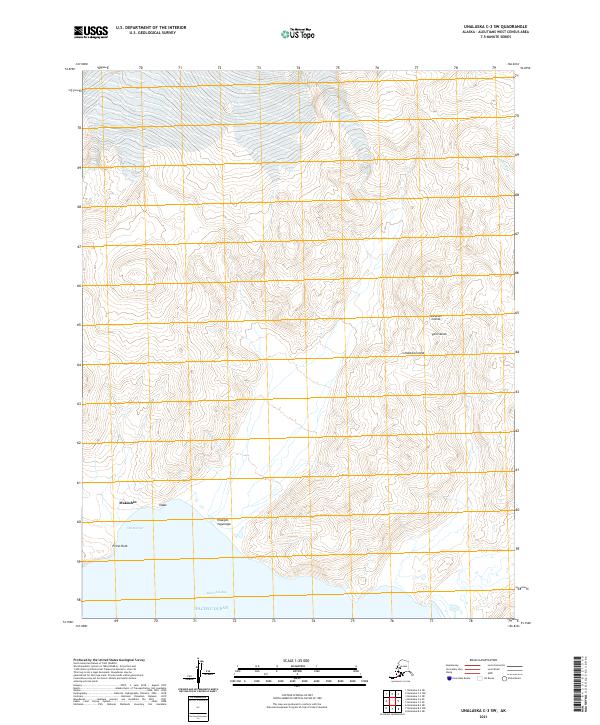
1989 Unalaska C-3
Aleutians West Borough, AK
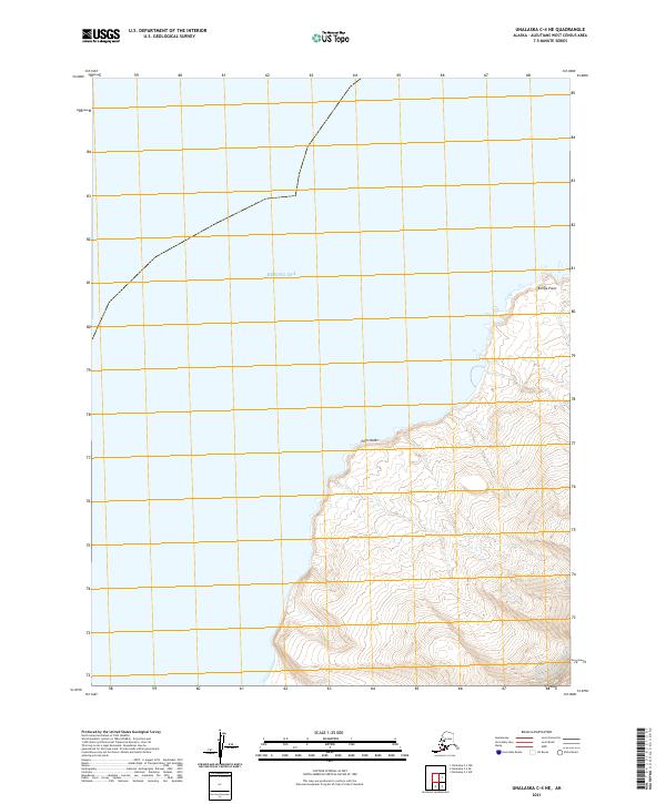
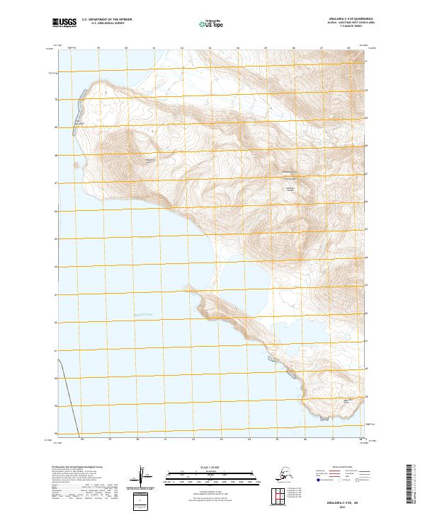
1989 Unalaska C-4
Aleutians West Borough, AK
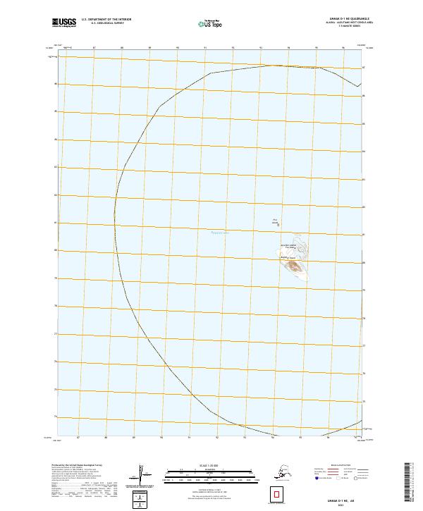
1989 Unalaska D-2
Aleutians West Borough, AK
1989 Unalaska D-3
Aleutians West Borough, AK

1990 Unalaska C-2
Aleutians West Borough, AK
2001 Saint George Island East
Aleutians West Borough, AK
2001 Saint George Island West
Aleutians West Borough, AK
2001 Saint Paul Island East
Aleutians West Borough, AK

2001 Saint Paul Island West
Aleutians West Borough, AK
2020 Pribilof Islands A-2 NE
Aleutians West Borough, AK
2020 Pribilof Islands A-2 NW
Aleutians West Borough, AK
2020 Pribilof Islands A-2 SE
Aleutians West Borough, AK
2020 Pribilof Islands A-2 SW
Aleutians West Borough, AK
2020 Pribilof Islands A-3 NE
Aleutians West Borough, AK
2020 Pribilof Islands A-3 SE
Aleutians West Borough, AK

2020 Pribilof Islands C-3 NW
Aleutians West Borough, AK
2020 Pribilof Islands C-4 NE
Aleutians West Borough, AK
2020 Pribilof Islands C-4 NW
Aleutians West Borough, AK
2020 Pribilof Islands C-5 NE
Aleutians West Borough, AK
2020 Pribilof Islands D-4 SE
Aleutians West Borough, AK
2020 Pribilof Islands D-4 SW
Aleutians West Borough, AK
2020 Pribilof Islands D-5 SE
Aleutians West Borough, AK
2020 Unalaska B-1 NE
Aleutians West Borough, AK
2020 Unalaska B-2 SE
Aleutians West Borough, AK
2020 Unalaska C-1 NW
Aleutians West Borough, AK
2020 Unalaska D-2 SE
Aleutians West Borough, AK
2020 Unalaska D-2 SW
Aleutians West Borough, AK
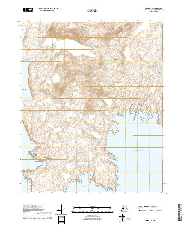
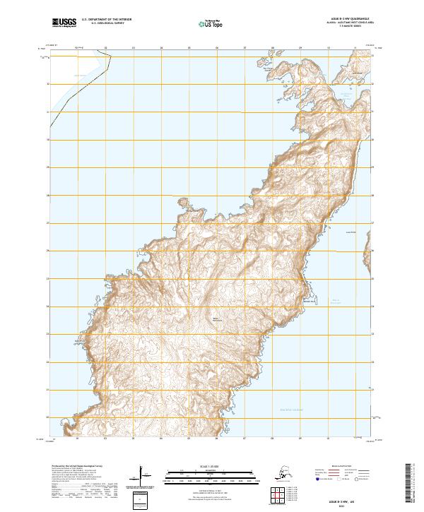
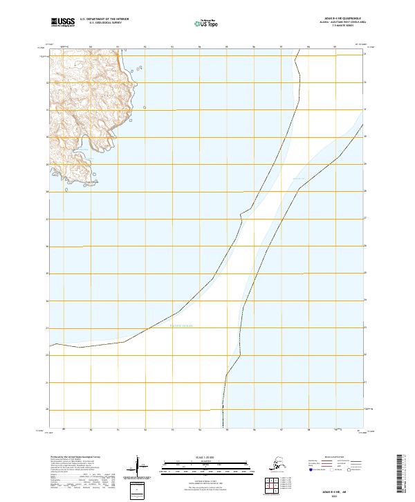
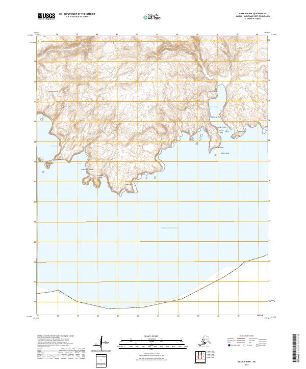
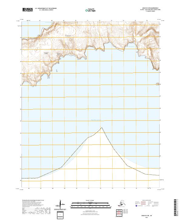
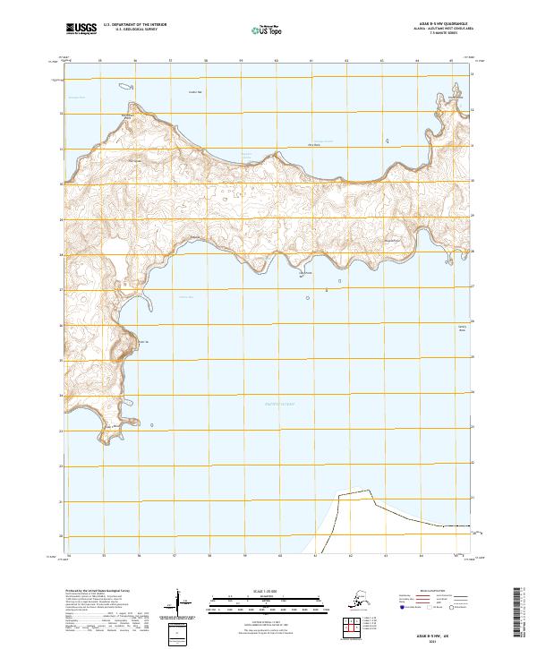
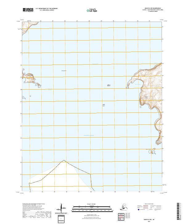
2021 Adak B-1 NW
Aleutians West Borough, AK
2021 Adak B-2 NE
Aleutians West Borough, AK
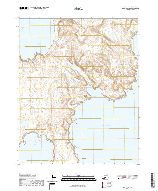
2021 Adak B-2 NW
Aleutians West Borough, AK
2021 Adak B-3 NE
Aleutians West Borough, AK
2021 Adak B-3 NW
Aleutians West Borough, AK
2021 Adak B-3 SE
Aleutians West Borough, AK
2021 Adak B-3 SW
Aleutians West Borough, AK
2021 Adak B-4 NE
Aleutians West Borough, AK
2021 Adak B-4 NW
Aleutians West Borough, AK
2021 Adak B-5 NE
Aleutians West Borough, AK
2021 Adak B-5 NW
Aleutians West Borough, AK
2021 Adak B-6 NE
Aleutians West Borough, AK
2021 Adak B-6 NW
Aleutians West Borough, AK
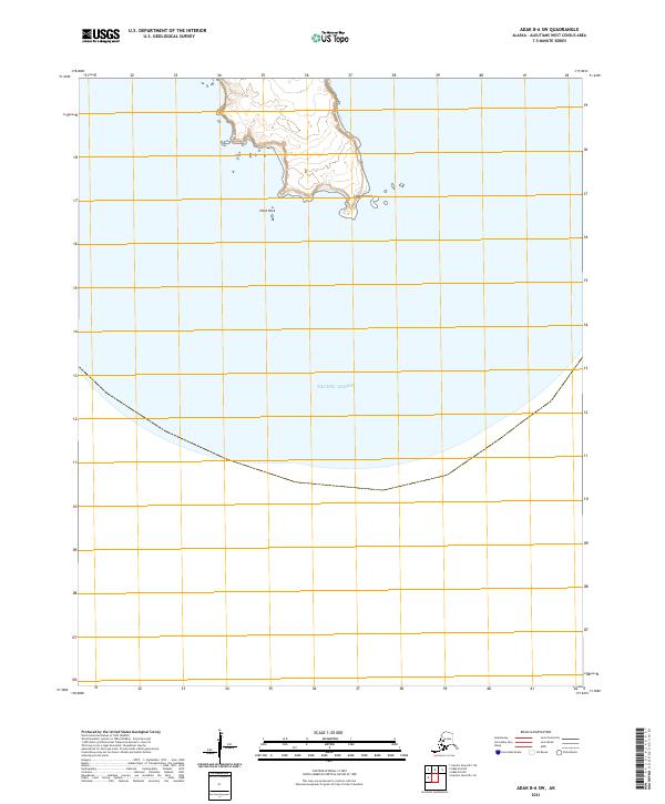
2021 Adak B-6 SW
Aleutians West Borough, AK
2021 Adak C-1 NE
Aleutians West Borough, AK
2021 Adak C-1 NW
Aleutians West Borough, AK
2021 Adak C-1 SE
Aleutians West Borough, AK
2021 Adak C-1 SW
Aleutians West Borough, AK

2021 Adak C-2 NW
Aleutians West Borough, AK
2021 Adak C-2 OE N SW
Aleutians West Borough, AK
2021 Adak C-2 SE
Aleutians West Borough, AK

2021 Adak C-2 SW
Aleutians West Borough, AK

2021 Adak C-3 NE
Aleutians West Borough, AK

2021 Adak C-3 SE
Aleutians West Borough, AK
2021 Adak C-3 SW
Aleutians West Borough, AK
2021 Adak C-4 NE
Aleutians West Borough, AK
2021 Adak C-4 NW
Aleutians West Borough, AK
2021 Adak C-4 SE
Aleutians West Borough, AK
2021 Adak C-4 SW
Aleutians West Borough, AK
2021 Adak C-5 NE
Aleutians West Borough, AK
2021 Adak C-5 SE
Aleutians West Borough, AK
2021 Adak C-5 SW
Aleutians West Borough, AK
2021 Adak C-6 NW
Aleutians West Borough, AK
2021 Adak C-6 SE
Aleutians West Borough, AK
2021 Adak C-6 SW
Aleutians West Borough, AK
2021 Adak D-1 NW
Aleutians West Borough, AK
2021 Adak D-1 SE
Aleutians West Borough, AK

2021 Adak D-1 SW
Aleutians West Borough, AK
2021 Amukta B-4 NW
Aleutians West Borough, AK
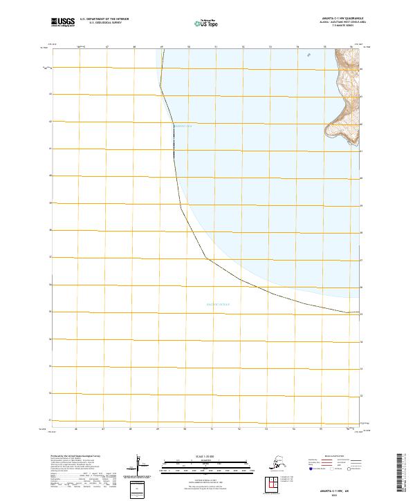
2021 Amukta C-1 NE
Aleutians West Borough, AK
2021 Amukta C-1 NW
Aleutians West Borough, AK
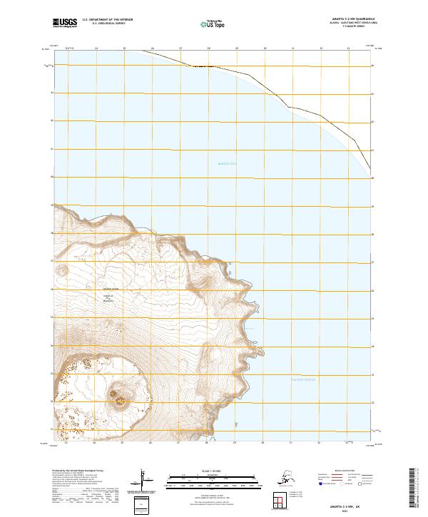
2021 Amukta C-2 NW
Aleutians West Borough, AK
2021 Amukta C-2 SW
Aleutians West Borough, AK
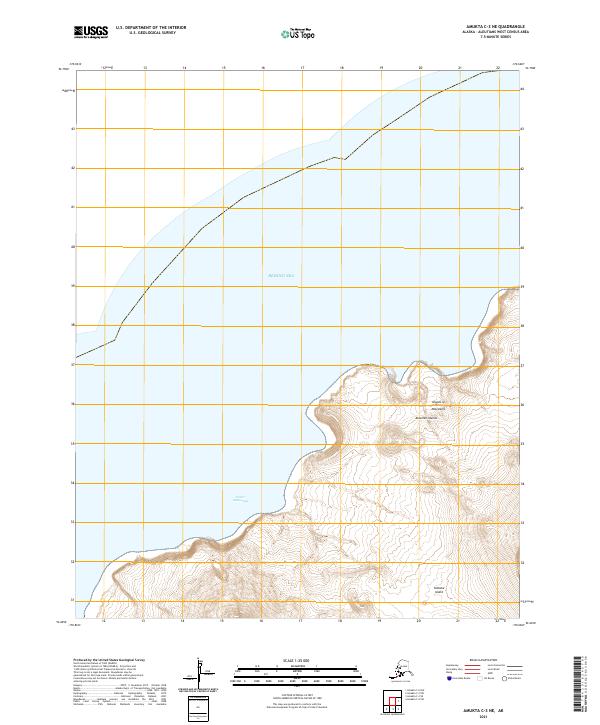
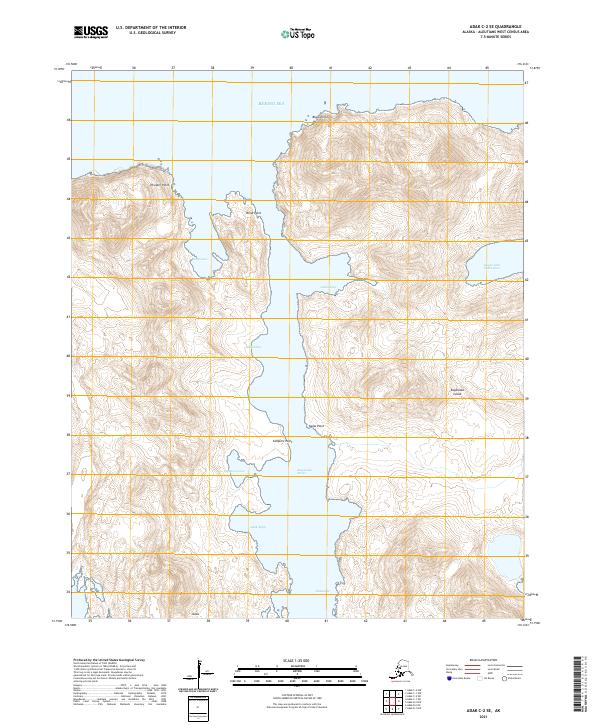
2021 Amukta C-3 NE
Aleutians West Borough, AK
2021 Amukta C-3 SE
Aleutians West Borough, AK
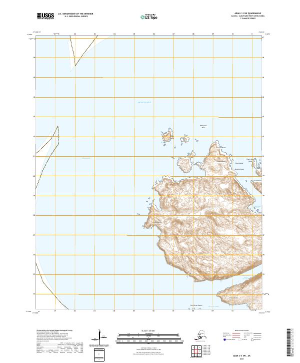
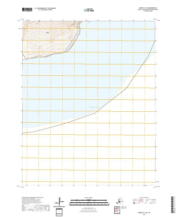
2021 Amukta C-3 SW
Aleutians West Borough, AK
2021 Amukta C-4 SE
Aleutians West Borough, AK
2021 Amukta C-4 SW
Aleutians West Borough, AK
2021 Amukta D-1 NE
Aleutians West Borough, AK
2021 Amukta D-1 SE
Aleutians West Borough, AK
2021 Amukta D-1 SW
Aleutians West Borough, AK
2021 Atka B-5 NE
Aleutians West Borough, AK
2021 Atka B-5 NW
Aleutians West Borough, AK
2021 Atka B-6 NE
Aleutians West Borough, AK
2021 Atka B-6 NW
Aleutians West Borough, AK
2021 Atka B-6 SW
Aleutians West Borough, AK

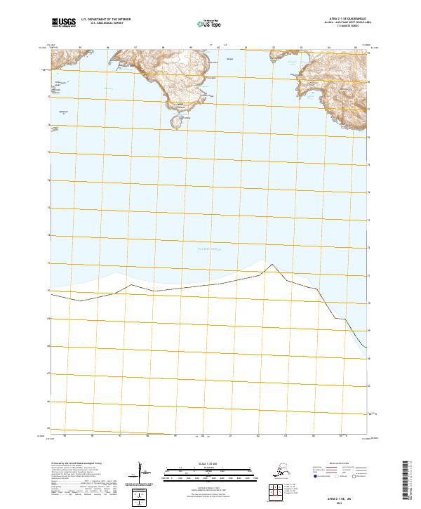
2021 Atka C-1 NE
Aleutians West Borough, AK

2021 Atka C-1 NW
Aleutians West Borough, AK
2021 Atka C-1 SE
Aleutians West Borough, AK
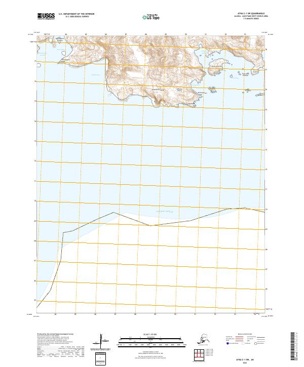
2021 Atka C-1 SW
Aleutians West Borough, AK
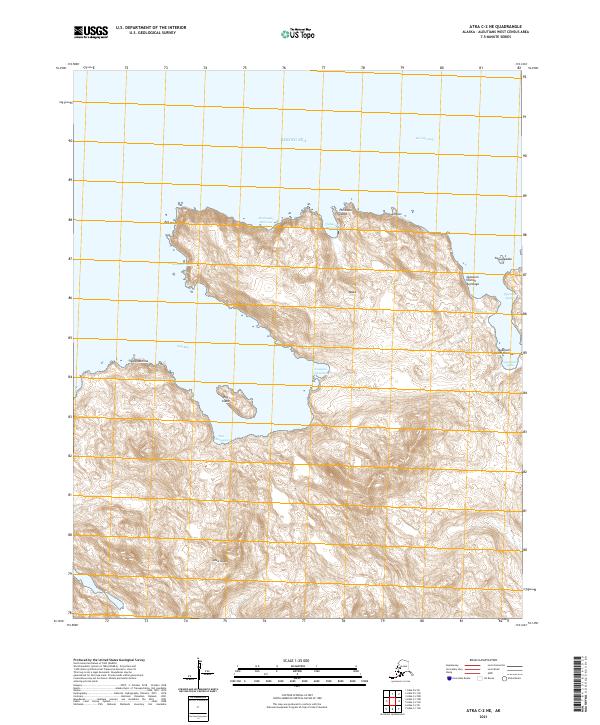
2021 Atka C-2 NE
Aleutians West Borough, AK
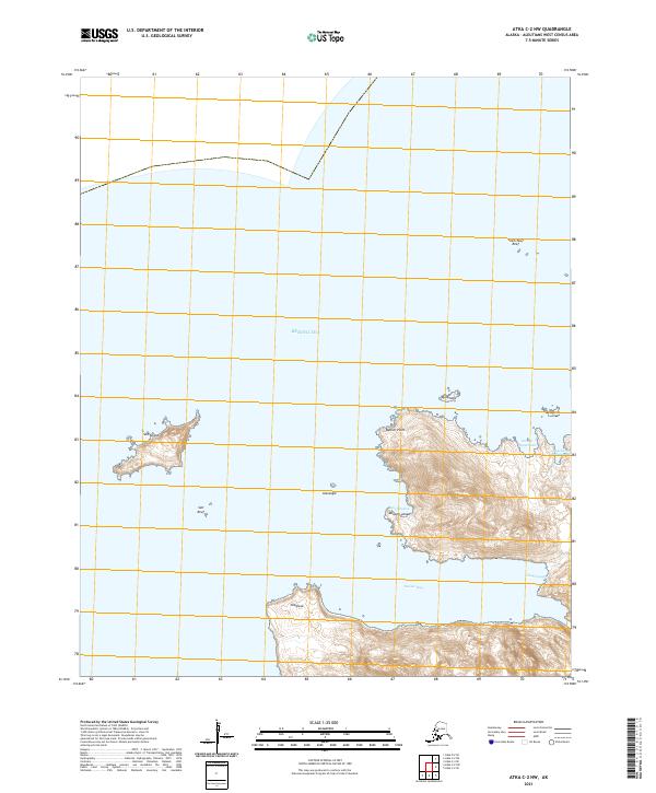
2021 Atka C-2 NW
Aleutians West Borough, AK
2021 Atka C-2 SE
Aleutians West Borough, AK
2021 Atka C-2 SW
Aleutians West Borough, AK
2021 Atka C-3 SE
Aleutians West Borough, AK
2021 Atka C-3 SW
Aleutians West Borough, AK
2021 Atka C-4 SE
Aleutians West Borough, AK
2021 Atka C-4 SW
Aleutians West Borough, AK
2021 Atka C-5 NE
Aleutians West Borough, AK
2021 Atka C-5 NW
Aleutians West Borough, AK
2021 Atka C-5 SE
Aleutians West Borough, AK

2021 Atka C-6 SW
Aleutians West Borough, AK
2021 Atka D-1 NE
Aleutians West Borough, AK
2021 Atka D-1 NW
Aleutians West Borough, AK

2021 Atka D-1 SE
Aleutians West Borough, AK

2021 Atka D-1 SW
Aleutians West Borough, AK
2021 Atka D-2 NE
Aleutians West Borough, AK
2021 Atka D-2 SE
Aleutians West Borough, AK

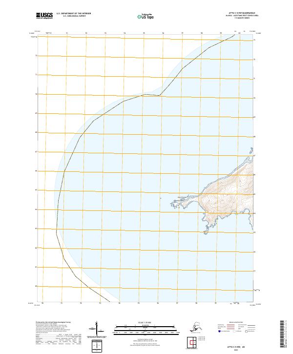
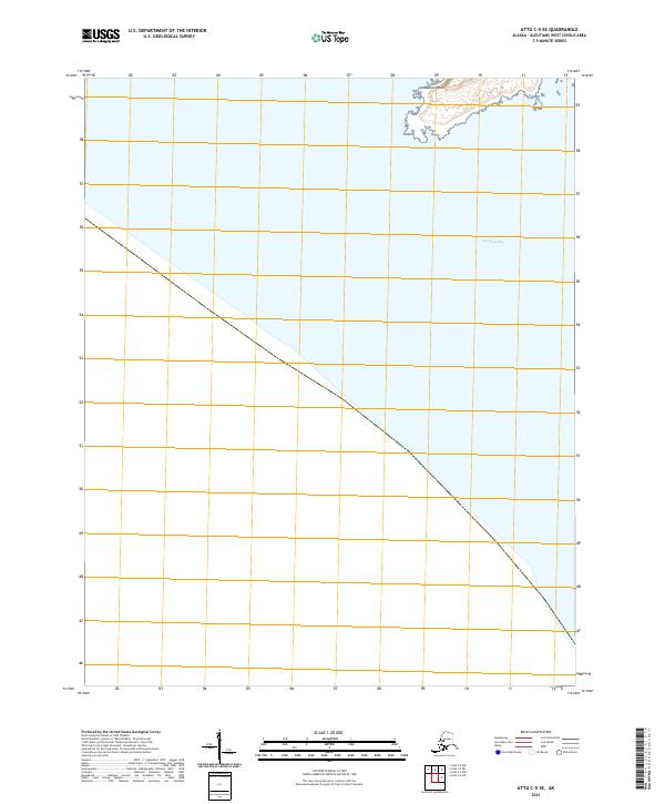
2021 Attu A-1 NW
Aleutians West Borough, AK
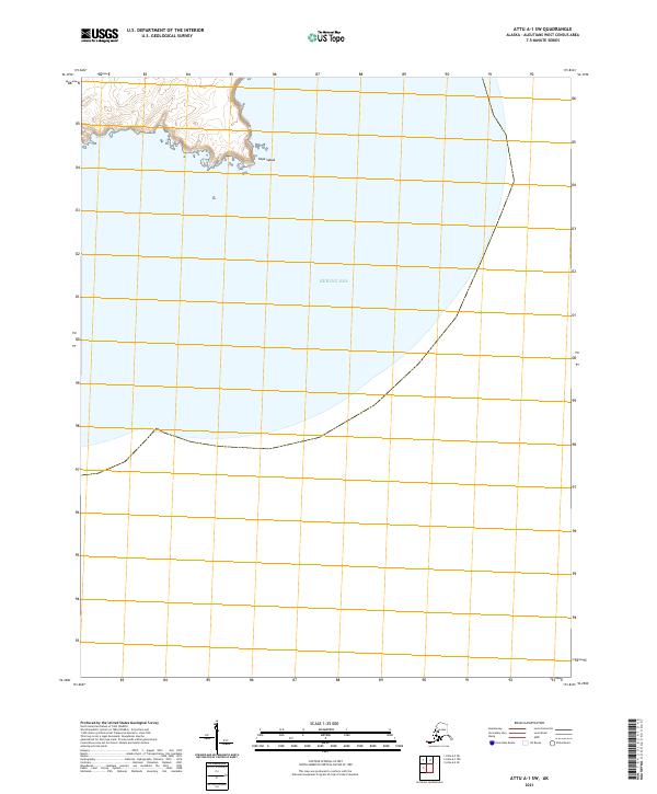
2021 Attu A-1 SW
Aleutians West Borough, AK
2021 Attu A-2 NE
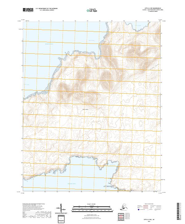
Aleutians West Borough, AK
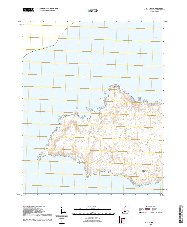
2021 Attu A-2 NW
Aleutians West Borough, AK
2021 Attu A-2 SE
Aleutians West Borough, AK
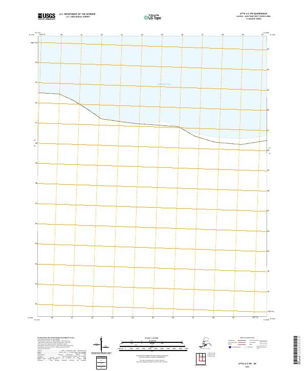
2021 Attu A-2 SW
Aleutians West Borough, AK
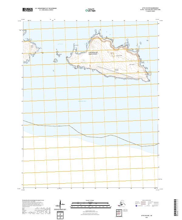
2021 Attu B-0 NW
Aleutians West Borough, AK
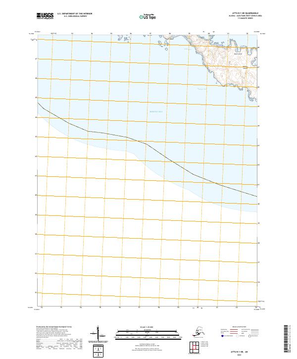
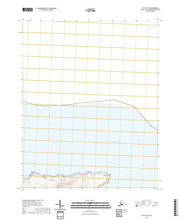
2021 Attu B-1 NE
Aleutians West Borough, AK
2021 Attu B-1 SW
Aleutians West Borough, AK
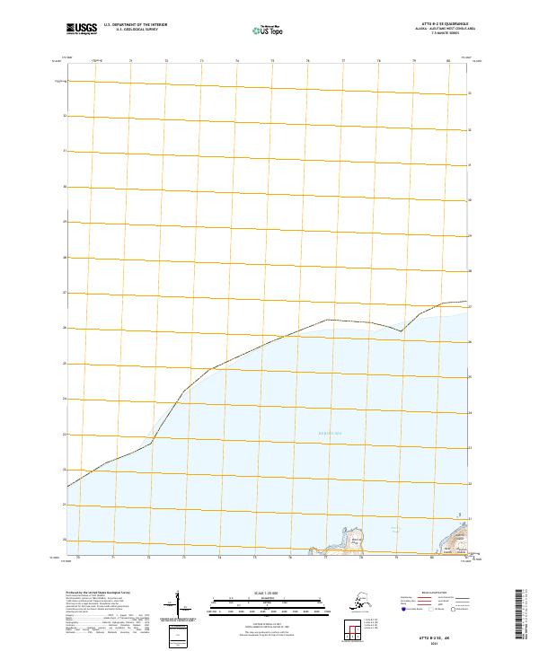
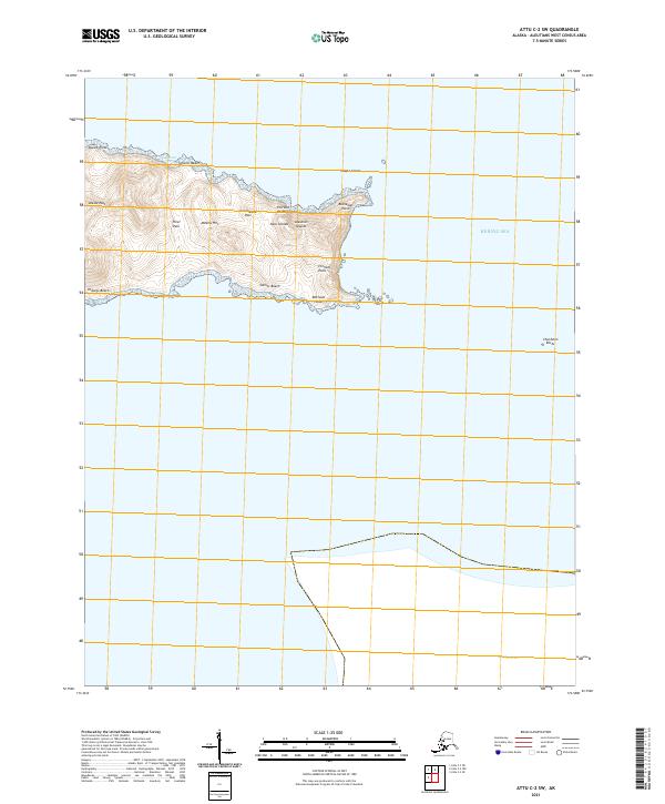
2021 Attu B-2 SE
Aleutians West Borough, AK
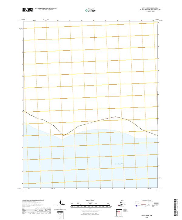
2021 Attu C-0 SW
Aleutians West Borough, AK
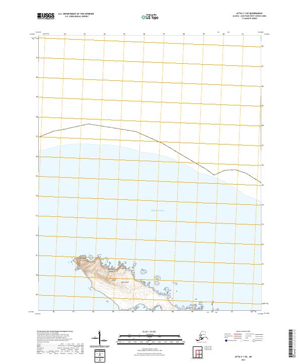
2021 Attu C-1 SE
Aleutians West Borough, AK
2021 Attu C-2 NW
Aleutians West Borough, AK
2021 Attu C-2 SW
Aleutians West Borough, AK

2021 Attu C-3 NE
Aleutians West Borough, AK
2021 Attu C-3 NW
Aleutians West Borough, AK
2021 Attu C-3 OE N SE
Aleutians West Borough, AK
2021 Attu C-3 OE N SW
Aleutians West Borough, AK
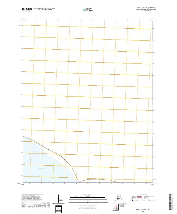
2021 Attu C-3 SE
Aleutians West Borough, AK
2021 Attu C-3 SW
Aleutians West Borough, AK
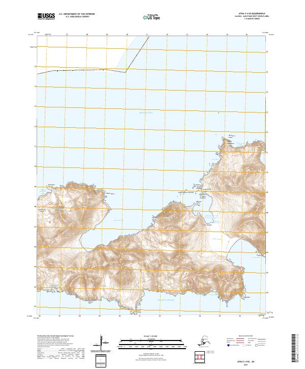
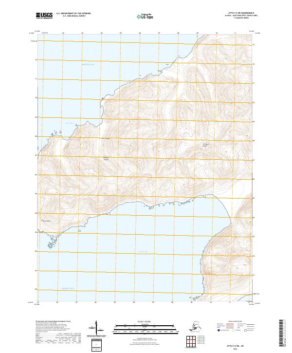
2021 Attu C-4 NE
Aleutians West Borough, AK
2021 Attu C-4 NW
Aleutians West Borough, AK
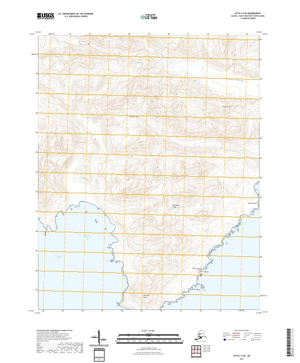
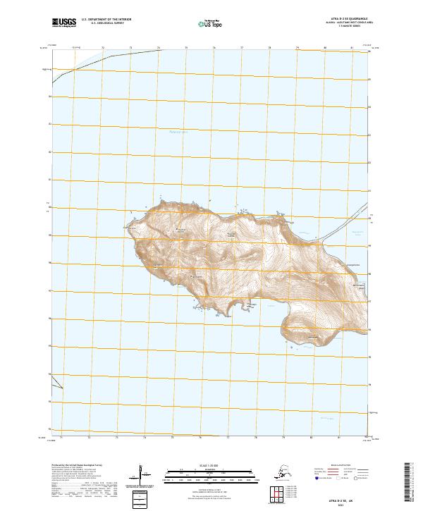
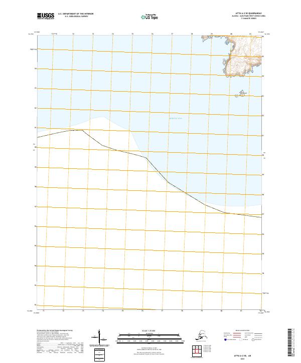
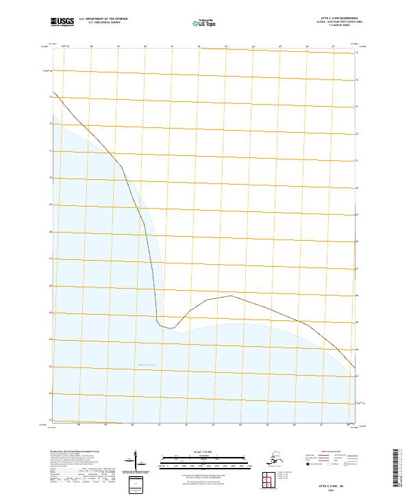
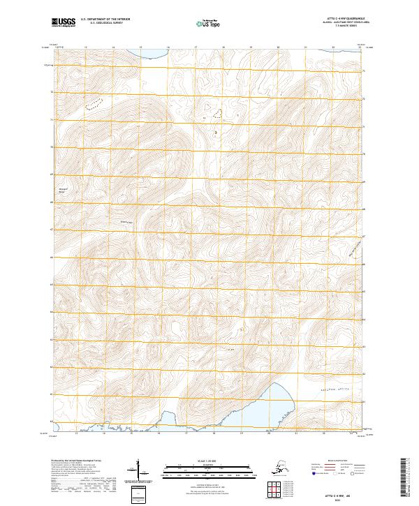
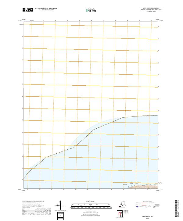
2021 Attu C-4 SE
Aleutians West Borough, AK
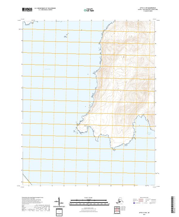
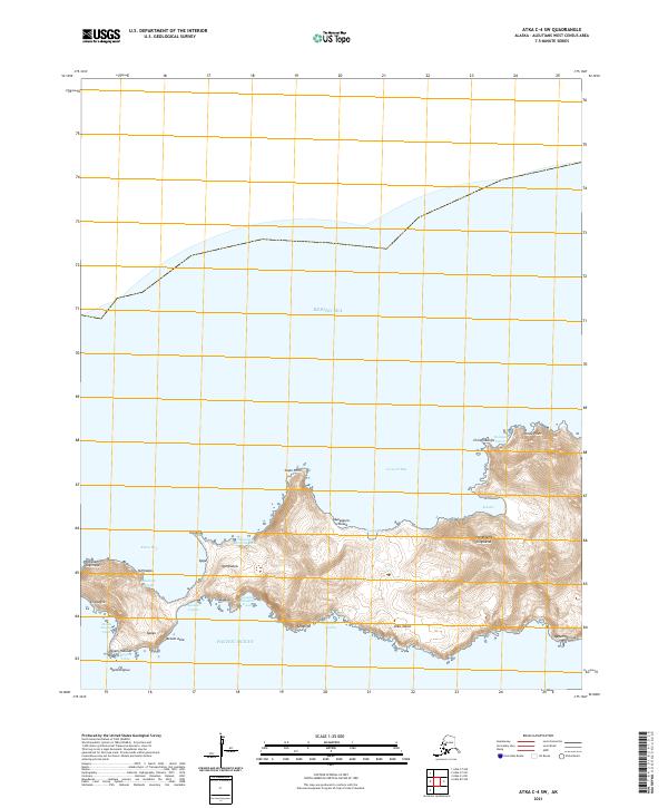
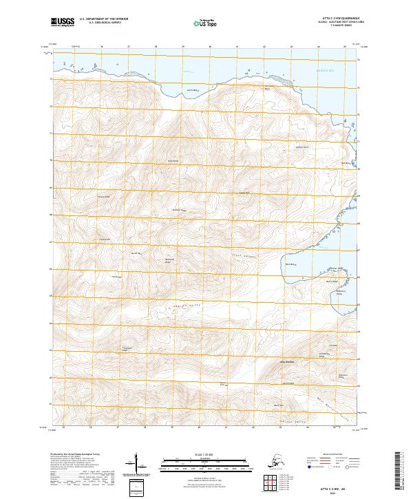
2021 Attu C-4 SW
Aleutians West Borough, AK
2021 Attu C-5 NE
Aleutians West Borough, AK
2021 Attu C-5 NW
Aleutians West Borough, AK
2021 Attu C-5 SE
Aleutians West Borough, AK
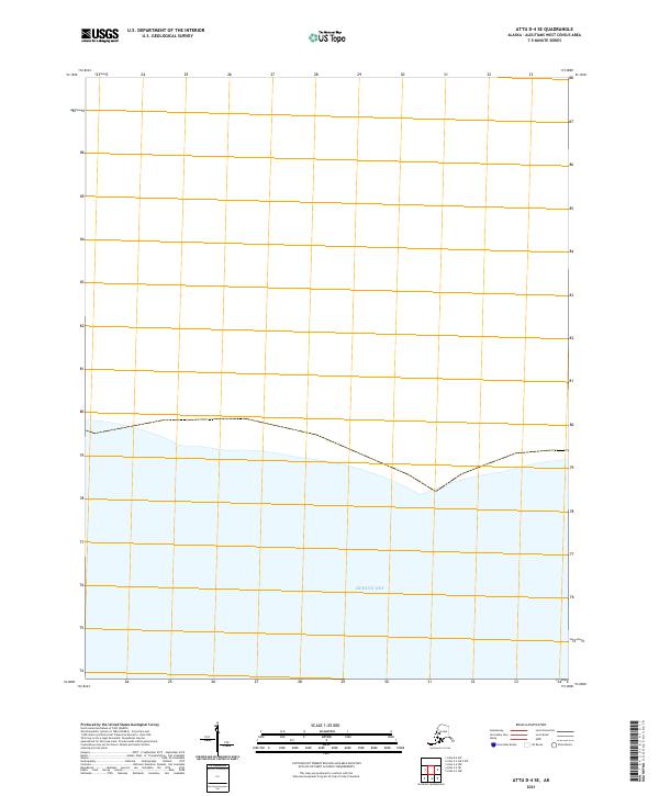
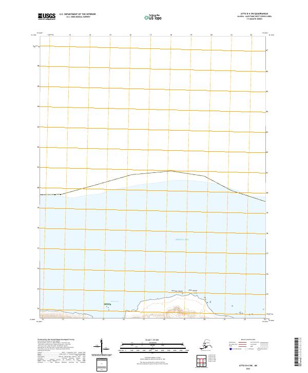
2021 Attu D-4 SE
Aleutians West Borough, AK
2021 Attu D-4 SW
Aleutians West Borough, AK
2021 Attu D-5 SE
Aleutians West Borough, AK
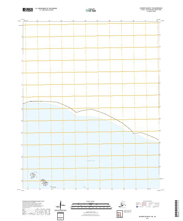
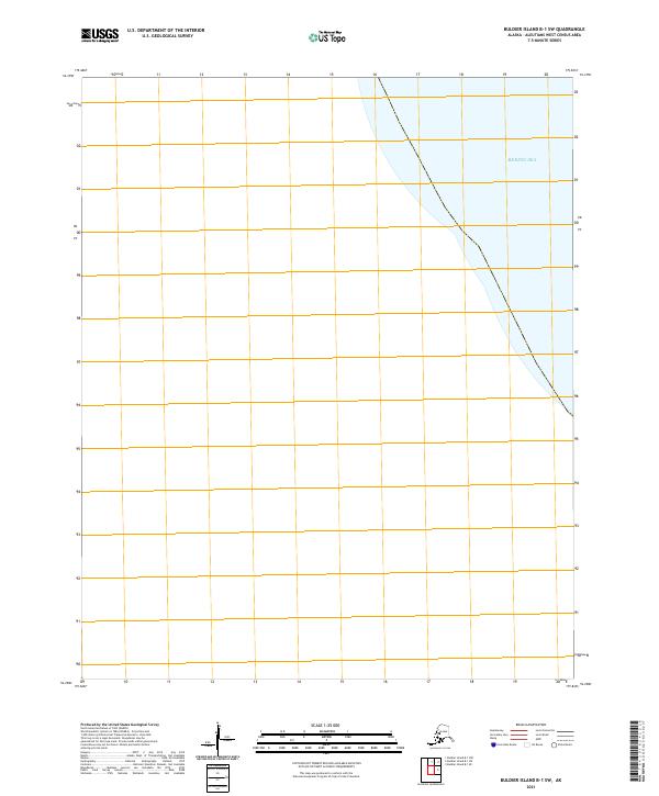
2021 Buldier Island B-1 NE
Aleutians West Borough, AK
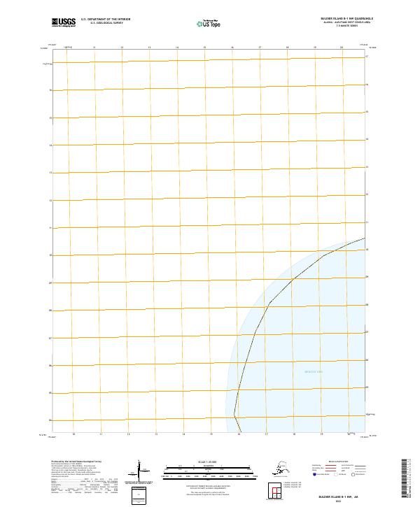
2021 Buldier Island B-1 NW
Aleutians West Borough, AK
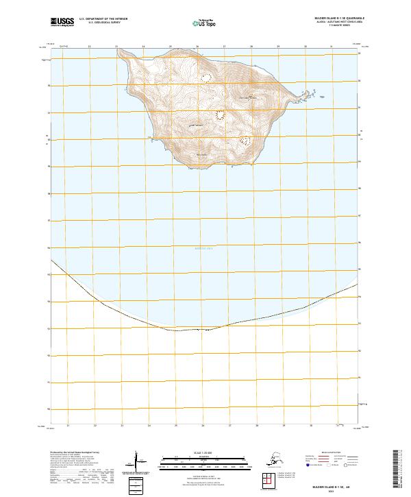
2021 Buldier Island B-1 SE
Aleutians West Borough, AK
2021 Buldier Island B-1 SW
Aleutians West Borough, AK
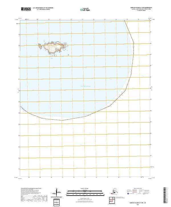
2021 Gareloi Island A-1 NW
Aleutians West Borough, AK
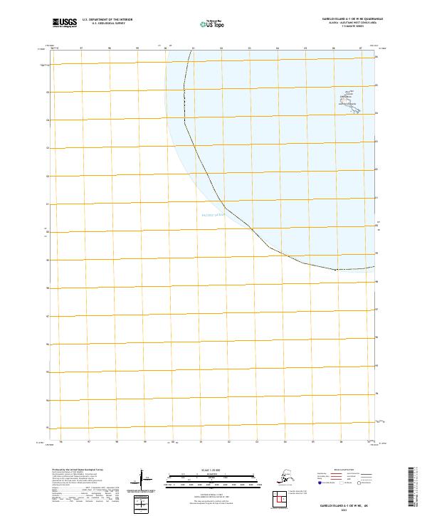
2021 Gareloi Island A-1 OE W NE
Aleutians West Borough, AK
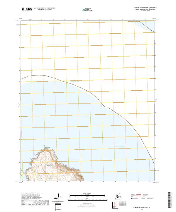
2021 Gareloi Island A-3 NW
Aleutians West Borough, AK
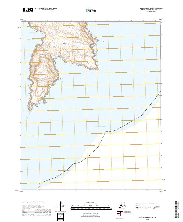
2021 Gareloi Island A-3 SW
Aleutians West Borough, AK
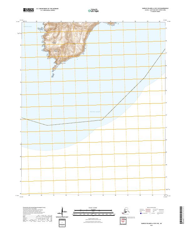
2021 Gareloi Island A-4 OE S NE
Aleutians West Borough, AK
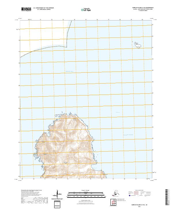
2021 Gareloi Island A-4 SE
Aleutians West Borough, AK
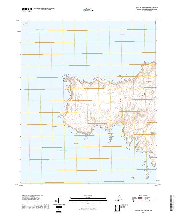
2021 Gareloi Island B-1 NE
Aleutians West Borough, AK
2021 Gareloi Island B-1 SE
Aleutians West Borough, AK
2021 Gareloi Island B-2 NW
Aleutians West Borough, AK
2021 Gareloi Island B-2 SW
Aleutians West Borough, AK
2021 Gareloi Island B-3 NE
Aleutians West Borough, AK
2021 Gareloi Island B-3 SE
Aleutians West Borough, AK
2021 Gareloi Island B-3 SW
Aleutians West Borough, AK
2021 Gareloi Island B-4 SE
Aleutians West Borough, AK
2021 Gareloi Island C-1 NE
Aleutians West Borough, AK
2021 Gareloi Island C-1 NW
Aleutians West Borough, AK
2021 Gareloi Island C-1 SE
Aleutians West Borough, AK
2021 Gareloi Island C-1 SW
Aleutians West Borough, AK
2021 Gareloi Island C-3 SE
Aleutians West Borough, AK
2021 Gareloi Island C-3 SW
Aleutians West Borough, AK
2021 Kiska C-1 NE
Aleutians West Borough, AK
2021 Kiska C-1 NW
Aleutians West Borough, AK
2021 Kiska C-2 NE
Aleutians West Borough, AK
2021 Kiska C-2 NW
Aleutians West Borough, AK
2021 Kiska C-2 SW
Aleutians West Borough, AK
2021 Kiska C-3 NE
Aleutians West Borough, AK
2021 Kiska C-3 SE
Aleutians West Borough, AK
2021 Kiska D-1 NW
Aleutians West Borough, AK
2021 Kiska D-1 SW
Aleutians West Borough, AK
2021 Kiska D-2 NE
Aleutians West Borough, AK
2021 Kiska D-2 SE
Aleutians West Borough, AK
2021 Kiska D-2 SW
Aleutians West Borough, AK
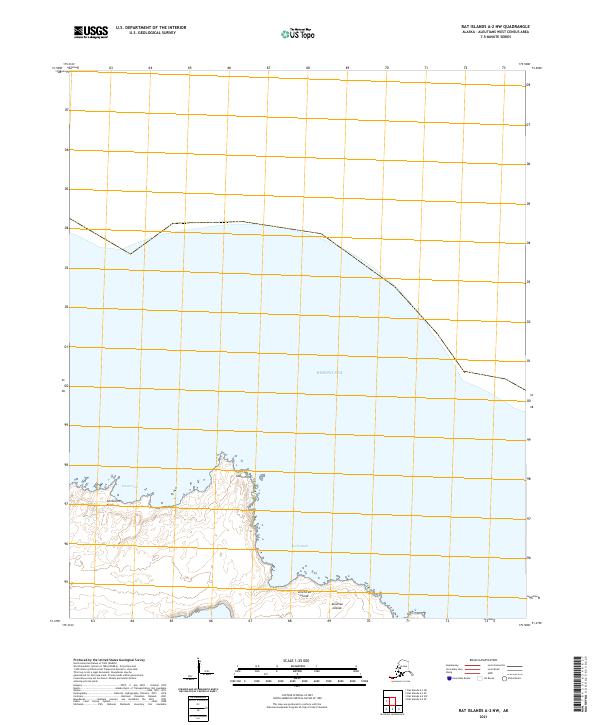
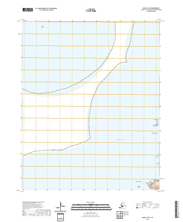
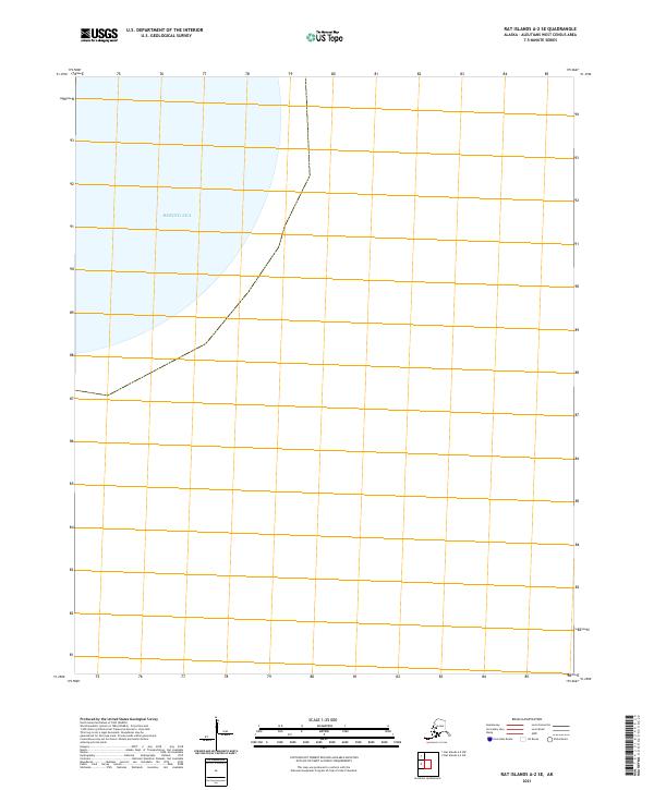
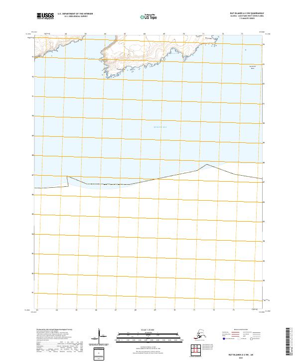
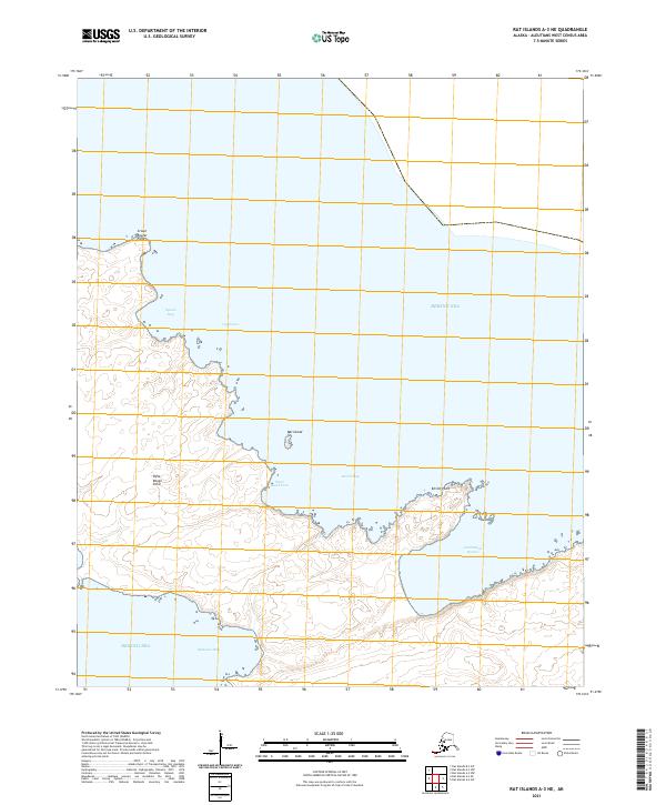
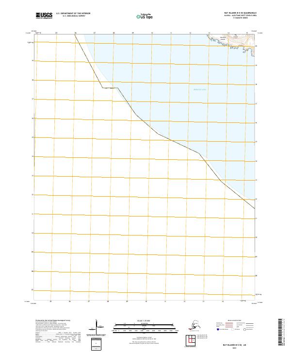
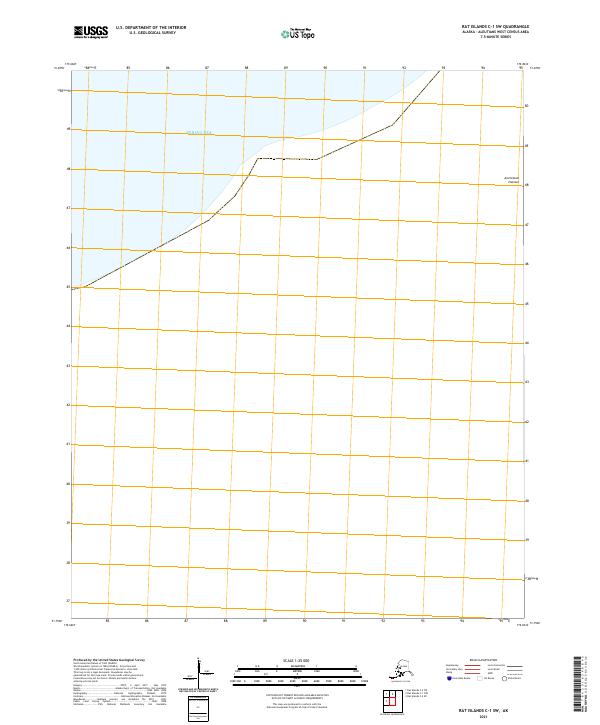
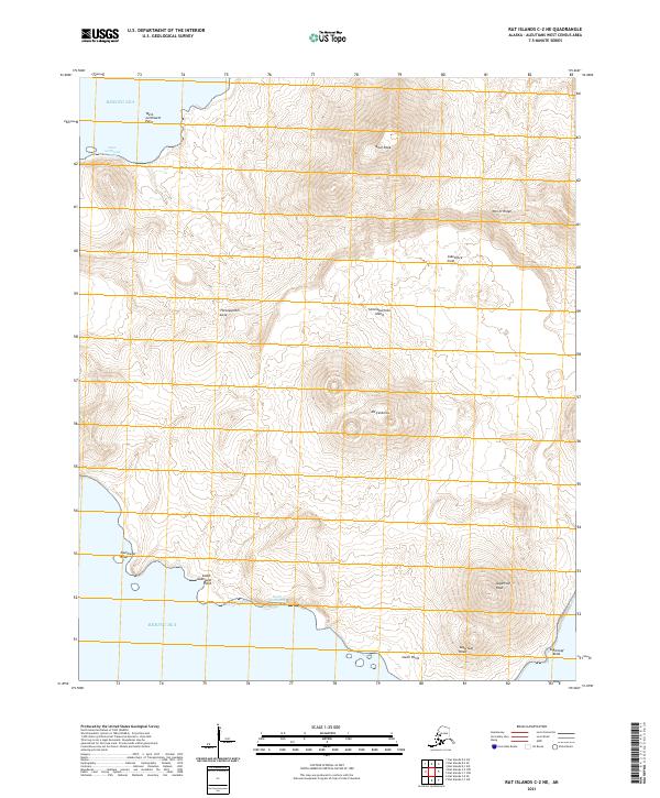
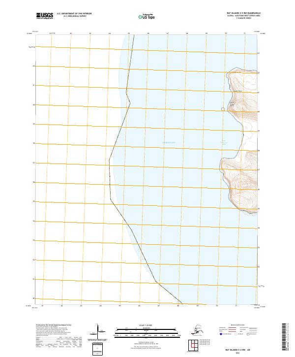
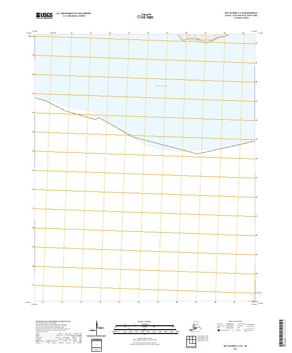
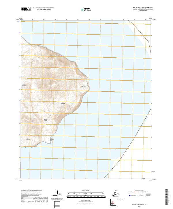
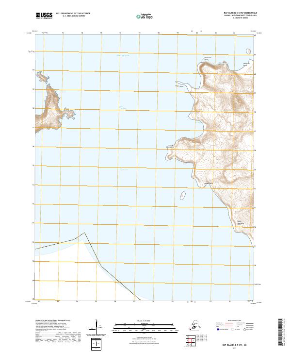
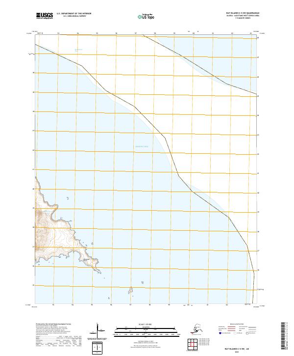
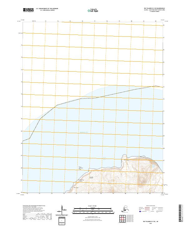
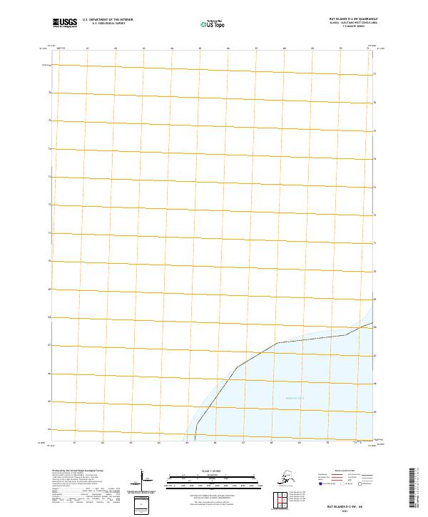
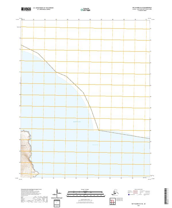
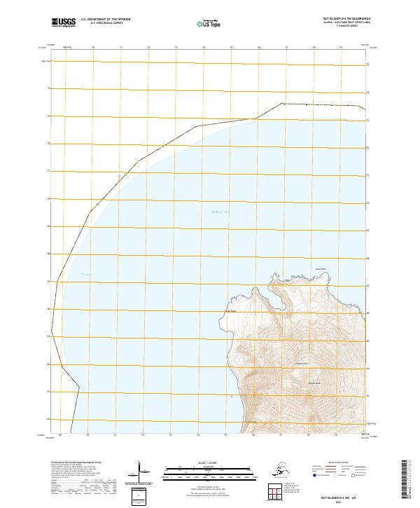
2021 Rat Islands A-2 NW
Aleutians West Borough, AK
2021 Rat Islands A-2 SE
Aleutians West Borough, AK
2021 Rat Islands A-2 SW
Aleutians West Borough, AK
2021 Rat Islands A-3 NE
Aleutians West Borough, AK
2021 Rat Islands A-3 NW
Aleutians West Borough, AK
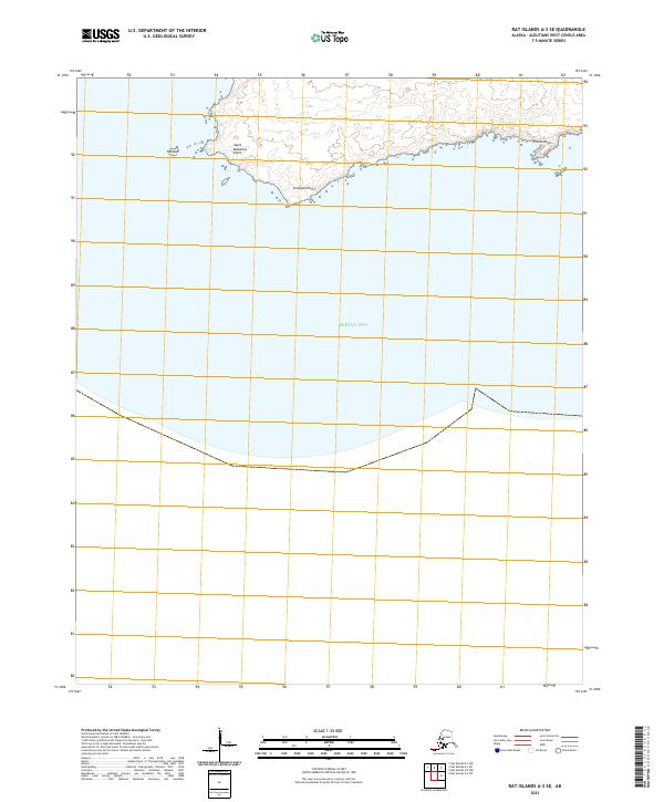
2021 Rat Islands A-3 SE
Aleutians West Borough, AK
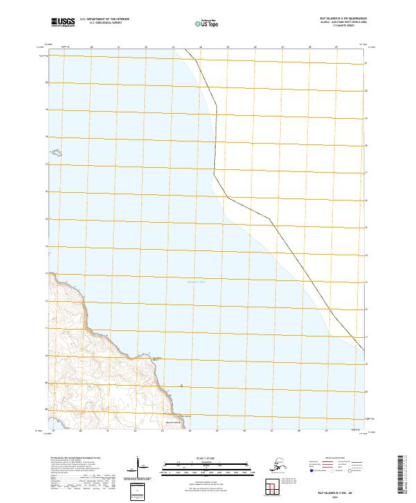
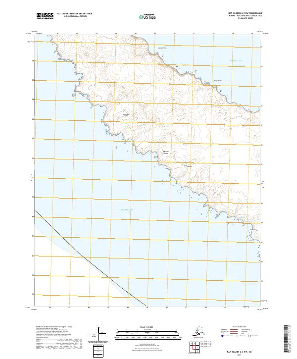
2021 Rat Islands B-3 SW
Aleutians West Borough, AK
2021 Rat Islands B-4 NW
Aleutians West Borough, AK
2021 Rat Islands B-4 SE
Aleutians West Borough, AK
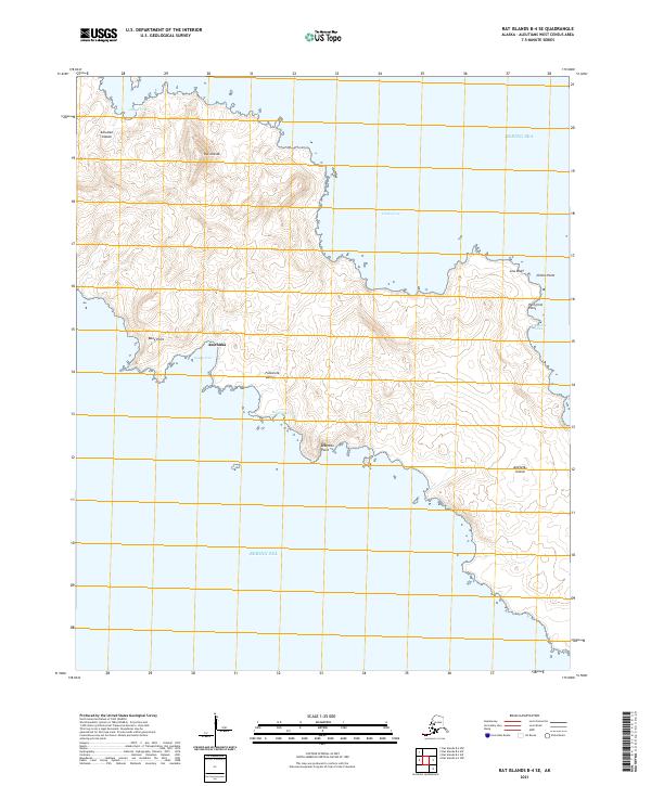
2021 Rat Islands B-4 SW
Aleutians West Borough, AK
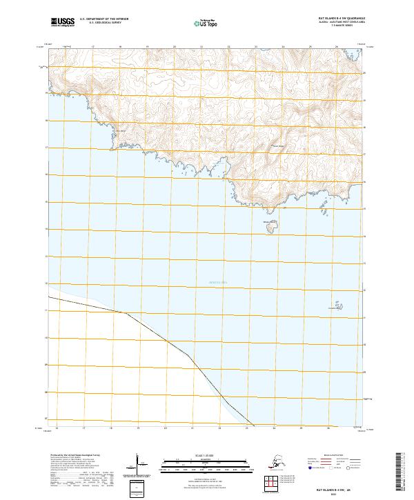
2021 Rat Islands B-5 NE
Aleutians West Borough, AK
2021 Rat Islands B-5 SE
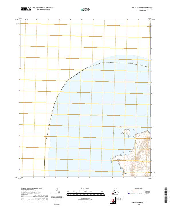
Aleutians West Borough, AK

2021 Rat Islands C-1 NW
Aleutians West Borough, AK
2021 Rat Islands C-1 SW
Aleutians West Borough, AK
2021 Rat Islands C-2 NE
Aleutians West Borough, AK
2021 Rat Islands C-2 NW
Aleutians West Borough, AK
2021 Rat Islands C-2 SE
Aleutians West Borough, AK
2021 Rat Islands C-5 NE
Aleutians West Borough, AK
2021 Rat Islands C-5 NW
Aleutians West Borough, AK
2021 Rat Islands C-5 SW
Aleutians West Borough, AK
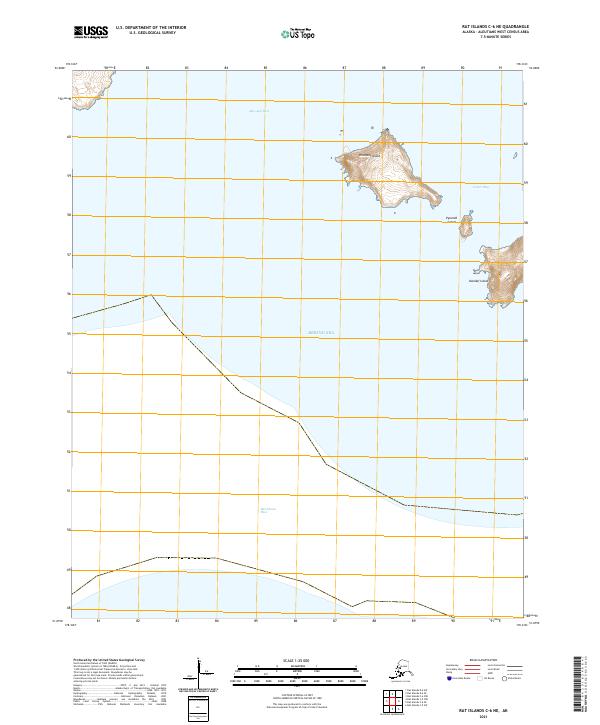
2021 Rat Islands C-6 NE
Aleutians West Borough, AK
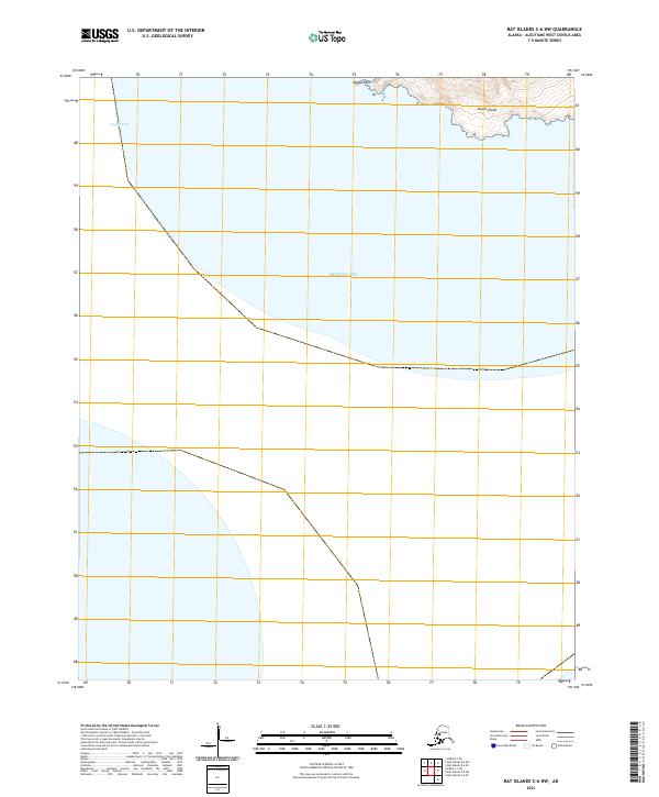
2021 Rat Islands C-6 NW
Aleutians West Borough, AK

2021 Rat Islands C-6 SE
Aleutians West Borough, AK
2021 Rat Islands D-1 SE
Aleutians West Borough, AK
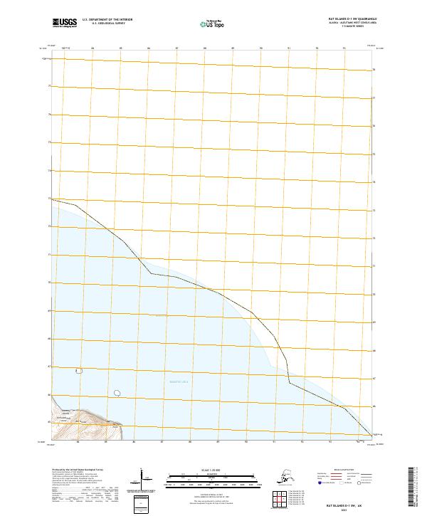
2021 Rat Islands D-1 SW
Aleutians West Borough, AK
2021 Rat Islands D-2 SE
Aleutians West Borough, AK
2021 Rat Islands D-2 SW
Aleutians West Borough, AK
2021 Rat Islands D-6 SE
Aleutians West Borough, AK
2021 Rat Islands D-6 SW
Aleutians West Borough, AK
2021 Samalga Island D-2 NE
Aleutians West Borough, AK
2021 Samalga Island D-2 NW
Aleutians West Borough, AK
2021 Samalga Island D-3 NE
Aleutians West Borough, AK

2021 Samalga Island D-3 NW
Aleutians West Borough, AK
2021 Samalga Island D-3 SW
Aleutians West Borough, AK
2021 Samalga Island D-4 NE
Aleutians West Borough, AK
2021 Samalga Island D-4 NW
Aleutians West Borough, AK
2021 Samalga Island D-4 SE
Aleutians West Borough, AK
2021 Samalga Island D-4 SW
Aleutians West Borough, AK
2021 Samalga Island D-6 NE
Aleutians West Borough, AK
2021 Samalga Island D-6 NW
Aleutians West Borough, AK
2021 Samalga Island D-6 OE E NW
Aleutians West Borough, AK
2021 Samalga Island D-6 SE
Aleutians West Borough, AK
2021 Samalga Island D-6 SW
Aleutians West Borough, AK
2021 Seguam C-3 SW
Aleutians West Borough, AK
2021 Seguam C-4 SE
Aleutians West Borough, AK
2021 Seguam C-4 SW
Aleutians West Borough, AK
2021 Seguam C-5 NE
Aleutians West Borough, AK
2021 Seguam C-5 NW
Aleutians West Borough, AK
2021 Seguam C-5 SE
Aleutians West Borough, AK
2021 Seguam C-5 SW
Aleutians West Borough, AK
2021 Seguam C-6 NE
Aleutians West Borough, AK
2021 Seguam C-6 NW
Aleutians West Borough, AK
2021 Seguam C-6 SE
Aleutians West Borough, AK
2021 Seguam C-6 SW
Aleutians West Borough, AK
2021 Seguam D-1 SW
Aleutians West Borough, AK
2021 Seguam D-2 NE
Aleutians West Borough, AK
2021 Seguam D-2 NW
Aleutians West Borough, AK
2021 Seguam D-2 OE S NW
Aleutians West Borough, AK
2021 Seguam D-2 SE
Aleutians West Borough, AK
2021 Seguam D-2 SW
Aleutians West Borough, AK
2021 Seguam D-6 SW
Aleutians West Borough, AK
2021 Umnak A-1 NW
Aleutians West Borough, AK
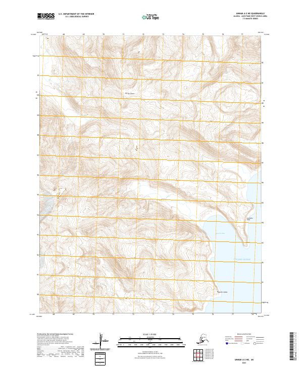
2021 Umnak A-2 NE
Aleutians West Borough, AK
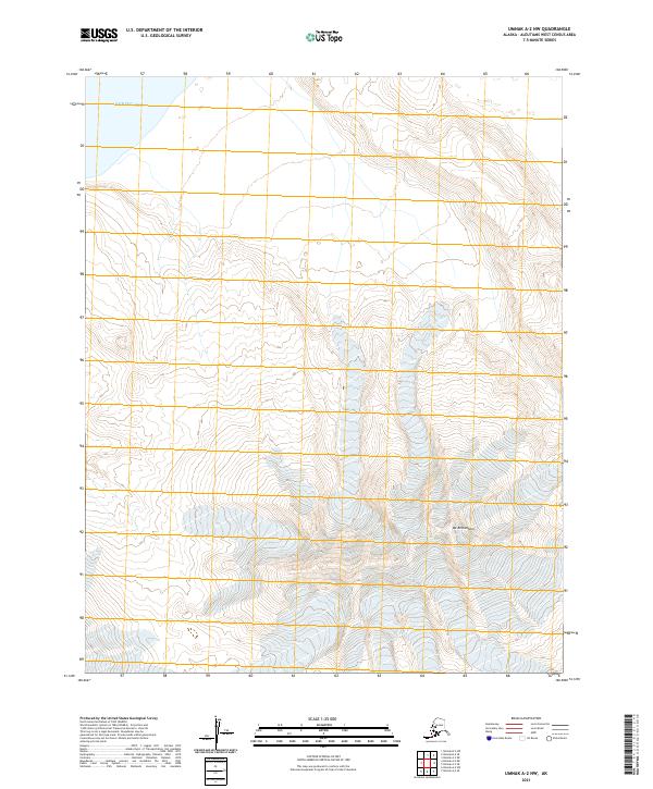
2021 Umnak A-2 NW
Aleutians West Borough, AK
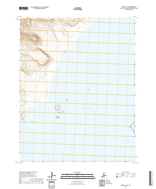
2021 Umnak A-2 SE
Aleutians West Borough, AK
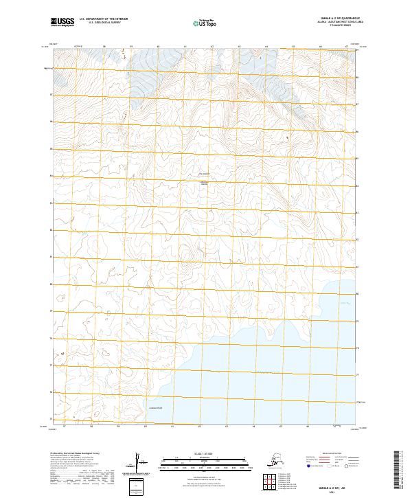
2021 Umnak A-2 SW
Aleutians West Borough, AK
2021 Umnak A-3 NE
Aleutians West Borough, AK
2021 Umnak A-3 SE
Aleutians West Borough, AK
2021 Umnak A-3 SW
Aleutians West Borough, AK
2021 Umnak A-5 SW
Aleutians West Borough, AK
2021 Umnak A-6 SE
Aleutians West Borough, AK
2021 Umnak B-1 NE
Aleutians West Borough, AK
2021 Umnak B-1 NW
Aleutians West Borough, AK
2021 Umnak B-1 SE
Aleutians West Borough, AK

2021 Umnak B-1 SW
Aleutians West Borough, AK
2021 Umnak B-2 NE
Aleutians West Borough, AK
2021 Umnak B-2 SE
Aleutians West Borough, AK
2021 Umnak B-2 SW
Aleutians West Borough, AK
2021 Umnak C-1 SE
Aleutians West Borough, AK
2021 Umnak C-1 SW
Aleutians West Borough, AK
2021 Umnak D-1 NE
Aleutians West Borough, AK
2021 Unalaska A-2 NW
Aleutians West Borough, AK
2021 Unalaska A-3 NE
Aleutians West Borough, AK
2021 Unalaska A-3 NW
Aleutians West Borough, AK
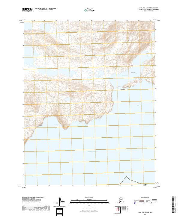
2021 Unalaska A-4 NE
Aleutians West Borough, AK
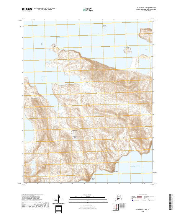
2021 Unalaska A-4 NW
Aleutians West Borough, AK
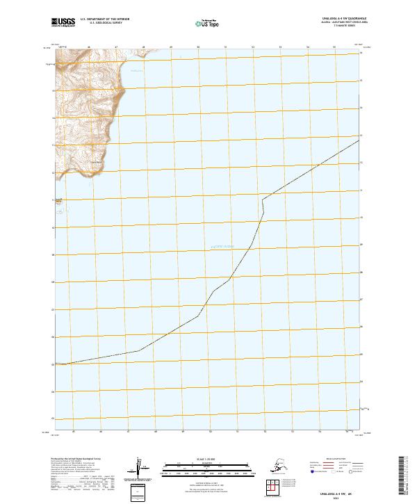
2021 Unalaska A-4 SW
Aleutians West Borough, AK
2021 Unalaska A-5 NE
Aleutians West Borough, AK
2021 Unalaska A-5 NW
Aleutians West Borough, AK
2021 Unalaska A-5 OE S NW
Aleutians West Borough, AK
2021 Unalaska A-5 SE
Aleutians West Borough, AK
2021 Unalaska A-5 SW
Aleutians West Borough, AK
2021 Unalaska A-6 NE
Aleutians West Borough, AK
2021 Unalaska A-6 NW
Aleutians West Borough, AK
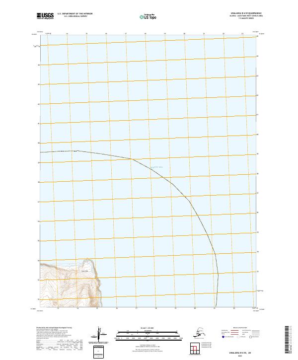
2021 Unalaska A-6 SE
Aleutians West Borough, AK
2021 Unalaska A-6 SW
Aleutians West Borough, AK
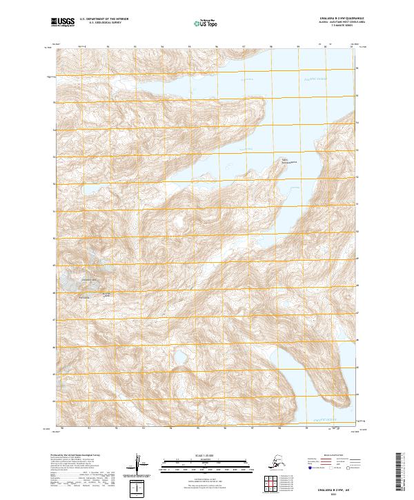
2021 Unalaska B-1 NW
Aleutians West Borough, AK
2021 Unalaska B-2 NE
Aleutians West Borough, AK
2021 Unalaska B-2 NW
Aleutians West Borough, AK
2021 Unalaska B-2 SW
Aleutians West Borough, AK
2021 Unalaska B-3 NE
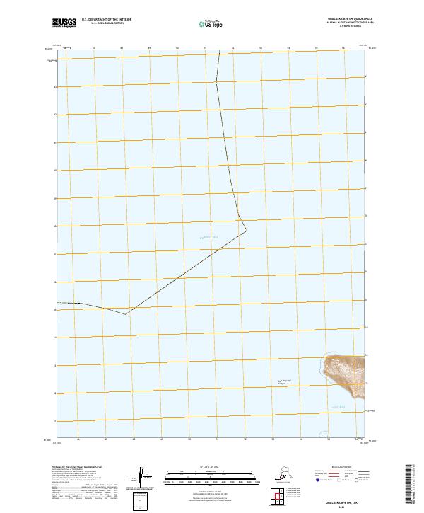
Aleutians West Borough, AK
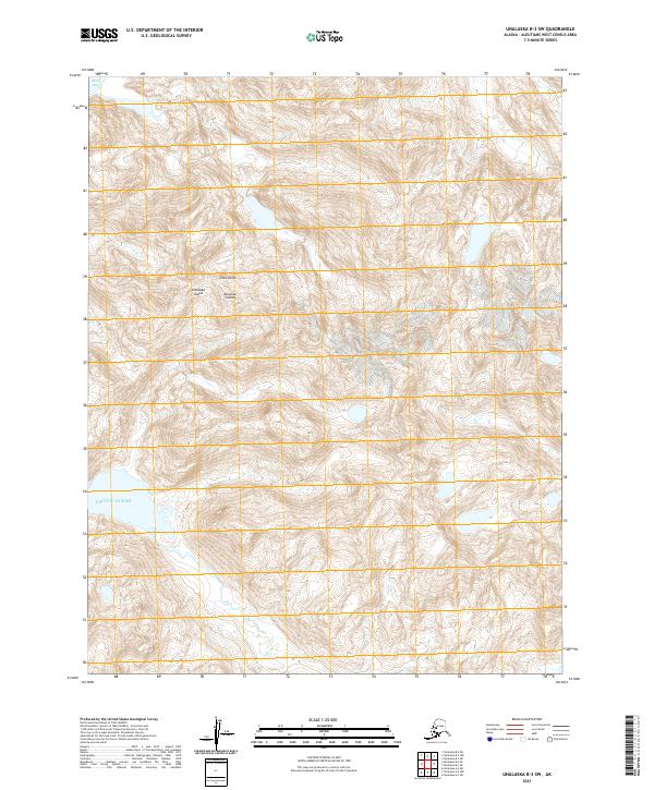
2021 Unalaska B-3 NW
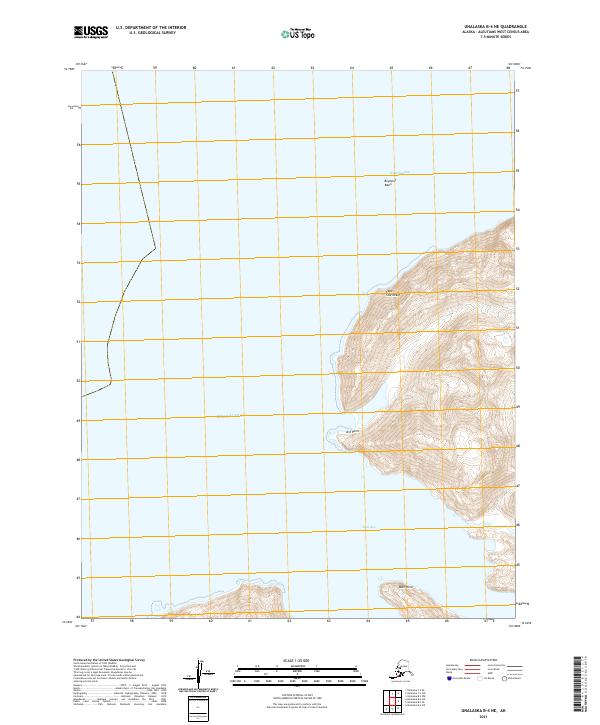
Aleutians West Borough, AK
2021 Unalaska B-3 SE
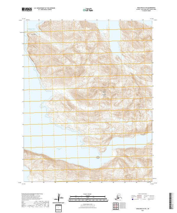
Aleutians West Borough, AK
2021 Unalaska B-3 SW
Aleutians West Borough, AK
2021 Unalaska B-4 NE
Aleutians West Borough, AK
2021 Unalaska B-4 SE
Aleutians West Borough, AK
2021 Unalaska B-4 SW
Aleutians West Borough, AK
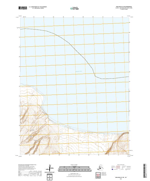
2021 Unalaska B-6 SE
Aleutians West Borough, AK
2021 Unalaska B-6 SW
Aleutians West Borough, AK
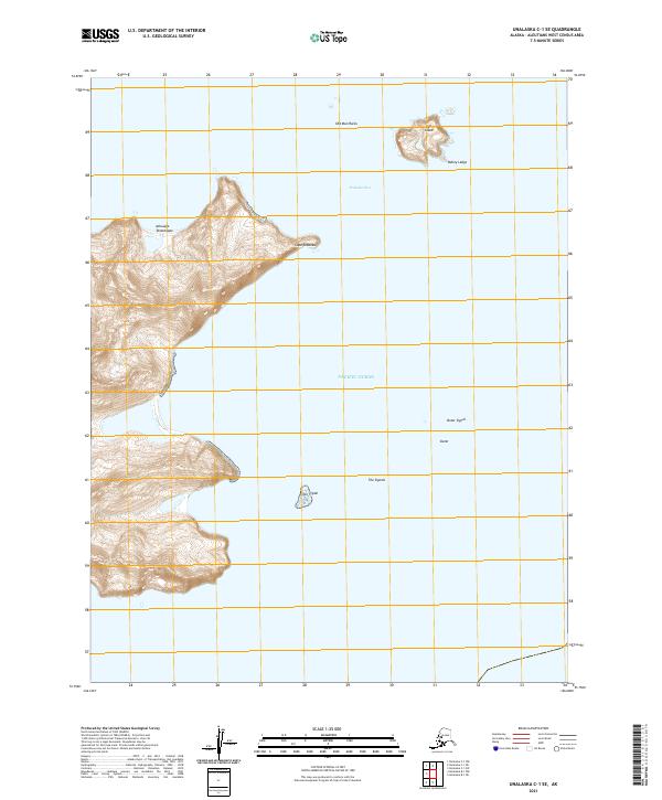
2021 Unalaska C-1 SE
Aleutians West Borough, AK
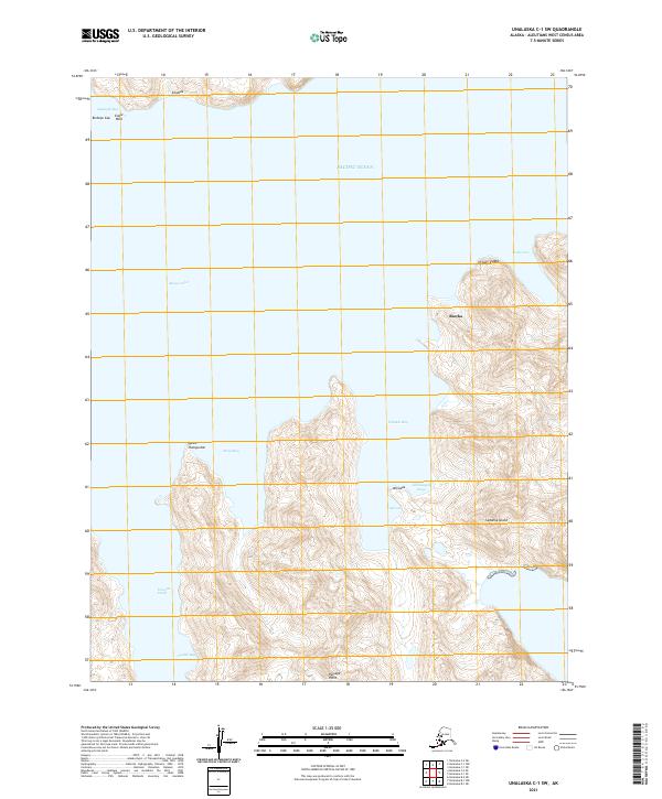
2021 Unalaska C-1 SW
Aleutians West Borough, AK
2021 Unalaska C-2 NE
Aleutians West Borough, AK

2021 Unalaska C-2 NW
Aleutians West Borough, AK
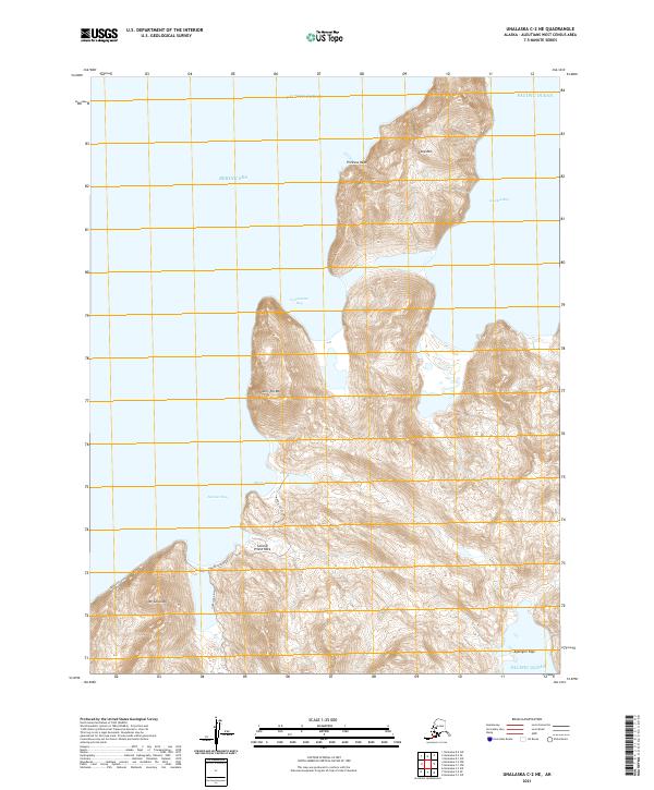
2021 Unalaska C-2 SE
Aleutians West Borough, AK
2021 Unalaska C-2 SW
Aleutians West Borough, AK
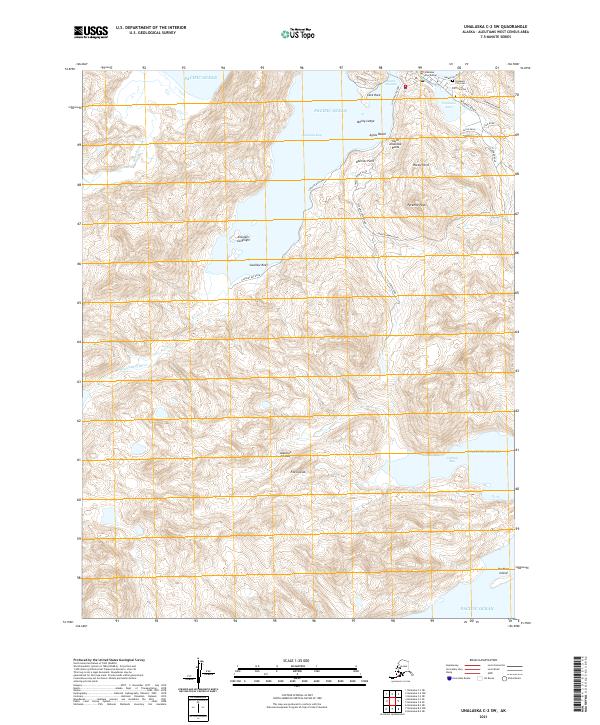
2021 Unalaska C-3 NE
Aleutians West Borough, AK
2021 Unalaska C-3 NW
Aleutians West Borough, AK

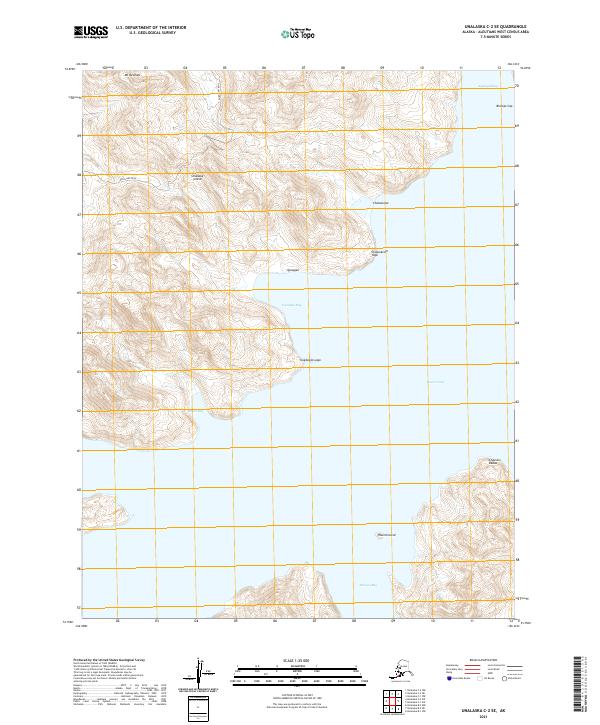
2021 Unalaska C-3 SE
Aleutians West Borough, AK
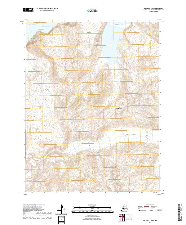
2021 Unalaska C-3 SW
Aleutians West Borough, AK
2021 Unalaska C-4 NE
Aleutians West Borough, AK
2021 Unalaska C-4 SE
Aleutians West Borough, AK
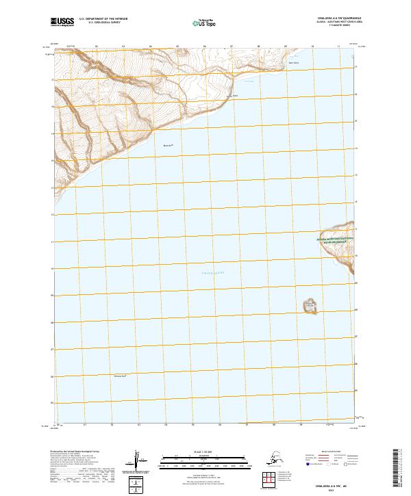
2021 Unalaska D-3 SE
Aleutians West Borough, AK