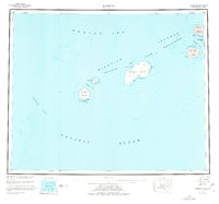
1951 Map of Amukta
USGS Topo · Published 1977About this map
The Islands of Four Mountains rise between the Bering Sea and the Pacific Ocean, forming a dramatic volcanic chain in the central Aleutians. This mid-century survey, based on maritime data from the 1930s and 40s, documents the sparse human footprint in this volcanic landscape, noting a lone Cabin on Yunaska Island and another on Amukta Island near Traders Cove. The map illustrates the navigational challenges of the region, detailing the deep waters of Amukta Pass and the complex currents around Carlisle Island and Chuginadak Island. Isolated peaks such as Chagulak I and landmarks like Dragon Point served as vital reference points for mariners and explorers navigating these northern reaches before the advent of modern satellite positioning.
Find a feature on this map
32 named features on this map. Tap any name to fly to it.
Don’t see what you’re looking for? This feature index may not catch every label — zoom into the map to look around manually.
Map Details
Editions of this 1951 Amukta Map
5 editions found
Other maps of this area

1951 · Amukta
USGS Topo · 1:250,000

1951 · Seguam
USGS Topo · 1:250,000

1951 · Samalga Island
USGS Topo · 1:250,000

1951 · Umnak
USGS Topo · 1:250,000

1958 · Samalga Island
USGS Topo · 1:250,000

1958 · Umnak
USGS Topo · 1:250,000

1958 · Seguam
USGS Topo · 1:250,000
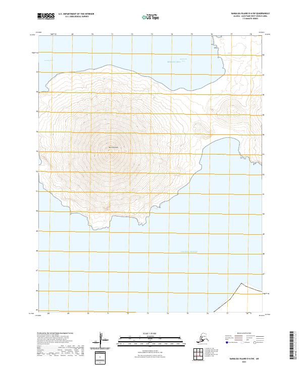
2021 · Samalga Island D-6 SW
USGS Topo · 1:25,000
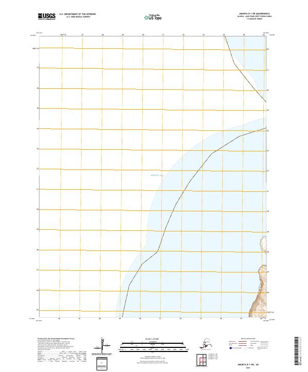
2021 · Amukta D-1 SW
USGS Topo · 1:25,000
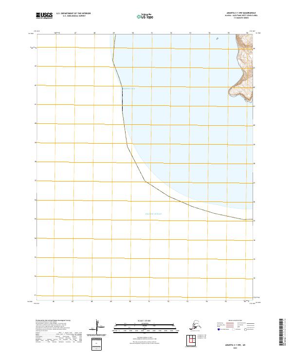
2021 · Amukta C-1 NW
USGS Topo · 1:25,000