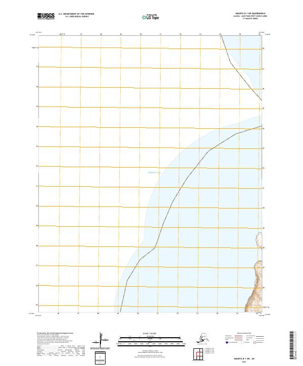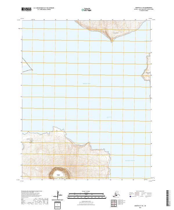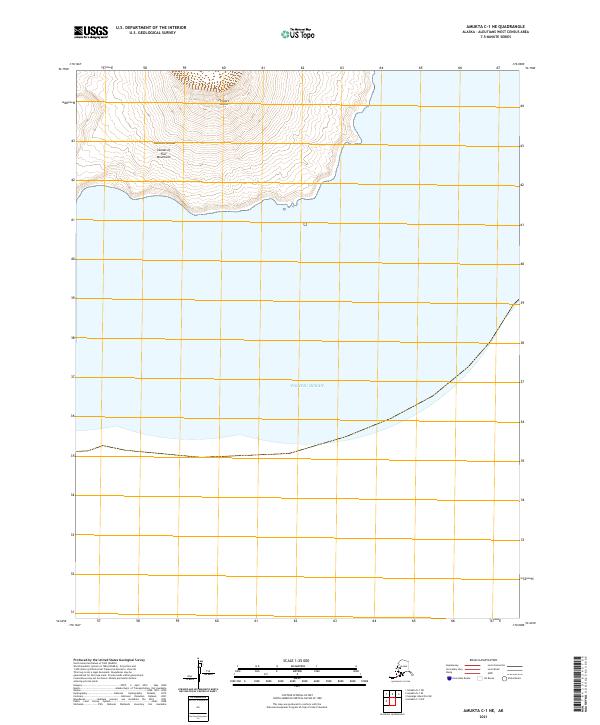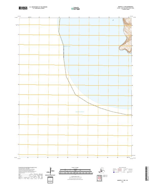
2021 Map of Amukta C-1 NW
USGS Topo · Published 2021About this map
The Bering Sea and the Pacific Ocean meet at this remote maritime crossroads in the Aleutian Islands. This 2021 topographic record of the Amukta C-1 NW quadrangle captures the stark intersection of these two major bodies of water, divided by a boundary that tracks the submerged and emerging volcanic topography of the archipelago. The map is defined by its vast aquatic coverage, showing the sharp bathymetric and topographic shifts where the land rises from the sea floor. Minimal terrestrial features are present, with the landmass concentrated in the northeastern corner within the t86s r146w township, where elevation contours indicate a steep coastal environment. This survey is a critical document for understanding the contemporary shoreline and the precise spatial relationship between the Bering and Pacific basins.
Find a feature on this map
13 named features on this map. Tap any name to fly to it.
Don’t see what you’re looking for? This feature index may not catch every label — zoom into the map to look around manually.
Map Details
Editions of this 2021 Amukta C-1 NW Map
This is the sole edition of this map. No revisions or reprints were ever made.