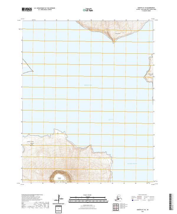
2021 Map of Amukta D-1 SE
USGS Topo · Published 2021About this map
Islands of Four Mountains emerge from the northern waters of the Pacific Ocean in this survey of the central Aleutian Islands. The landscape is dominated by the volcanic peaks of Herbert Island and the southwestern edge of Chuginadak Island, separated by the deep waters of Chuginadak Pass. To the north, the terrain transitions into the Bering Sea, where Dragon Point extends from the land and Carlisle Pass provides a narrow maritime corridor. This map documents a high-latitude volcanic archipelago where the steep bathymetry of the ocean floor meets rugged island topography, illustrating the physical geography of one of the most remote sections of the American seafloor and coastline.
Find a feature on this map
15 named features on this map. Tap any name to fly to it.
Don’t see what you’re looking for? This feature index may not catch every label — zoom into the map to look around manually.
Map Details
Editions of this 2021 Amukta D-1 SE Map
This is the sole edition of this map. No revisions or reprints were ever made.
Other maps of this area

1951 · Amukta
USGS Topo · 1:250,000

1951 · Samalga Island
USGS Topo · 1:250,000

1958 · Samalga Island
USGS Topo · 1:250,000
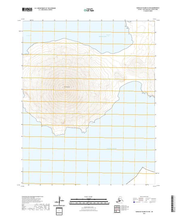
2021 · Samalga Island D-6 SW
USGS Topo · 1:25,000
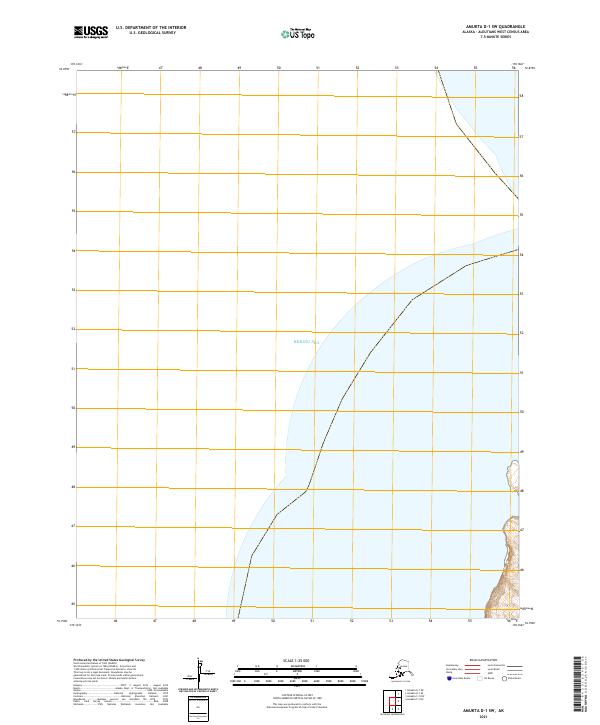
2021 · Amukta D-1 SW
USGS Topo · 1:25,000
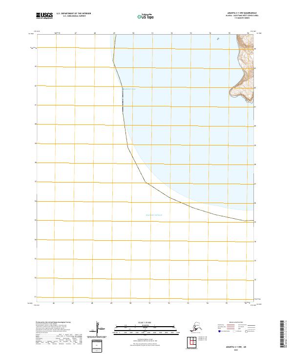
2021 · Amukta C-1 NW
USGS Topo · 1:25,000
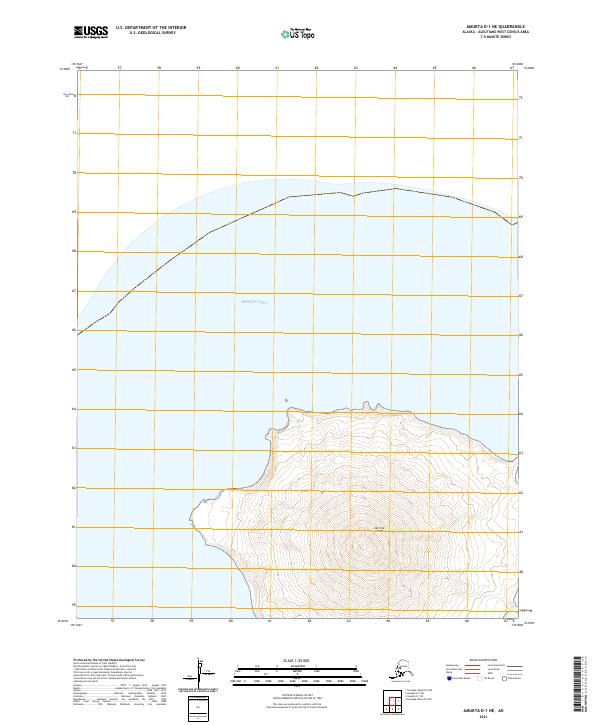
2021 · Amukta D-1 NE
USGS Topo · 1:25,000
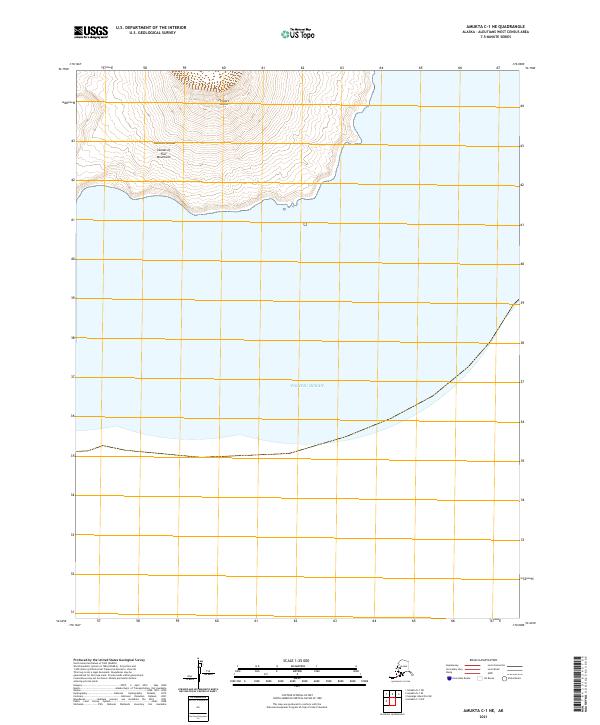
2021 · Amukta C-1 NE
USGS Topo · 1:25,000
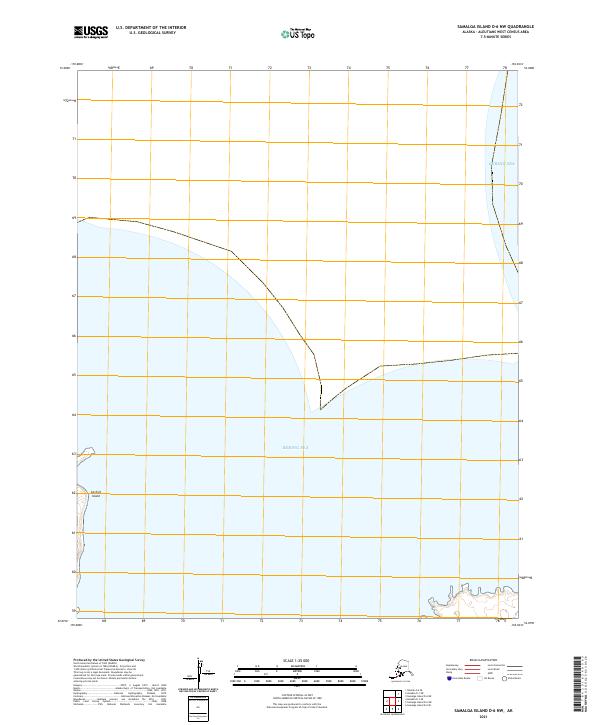
2021 · Samalga Island D-6 NW
USGS Topo · 1:25,000