
1951 Map of Samalga Island
USGS Topo · Published 1952About this map
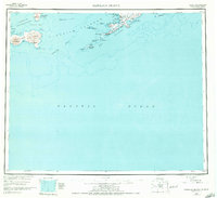
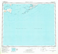
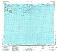
Nikolski stands as the primary settlement on this mid-century reconnaissance of the southwestern Aleutian Islands. The survey details the treacherous maritime geography between Umnak Island and the Islands of the Four Mountains, a region defined by active volcanic peaks like Mt Cleveland and Black Pk. Navigation through Samalga Pass is documented alongside numerous coastal hazards, including Pancake Rock and Eider Rock. The map illustrates the isolated nature of these outposts, where life centered around protected waters like Nikolski Bay and Traders Cove. Compiled from aerial photography and maritime charts, the work reflects the early Cold War era's effort to document Alaska's furthest reaches, tracing the transition from the Bering Sea to the open Pacific Ocean.
Find a feature on this map
37 named features on this map. Tap any name to fly to it.
Don’t see what you’re looking for? This feature index may not catch every label — zoom into the map to look around manually.
Map Details
Editions of this 1951 Samalga Island Map
4 editions found
Other maps of this area

1951 · Amukta
USGS Topo · 1:250,000

1951 · Umnak
USGS Topo · 1:250,000

1958 · Samalga Island
USGS Topo · 1:250,000

1958 · Umnak
USGS Topo · 1:250,000
2021 · Samalga Island D-6 OE E NW
USGS Topo · 1:25,000
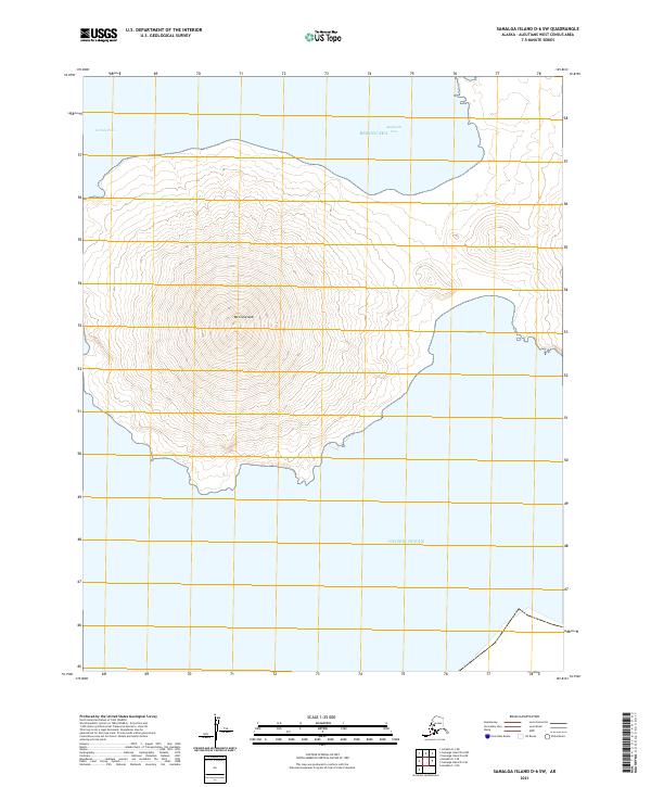
2021 · Samalga Island D-6 SW
USGS Topo · 1:25,000
2021 · Samalga Island D-4 NW
USGS Topo · 1:25,000
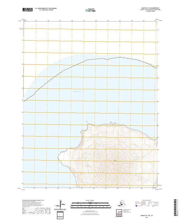
2021 · Amukta D-1 NE
USGS Topo · 1:25,000
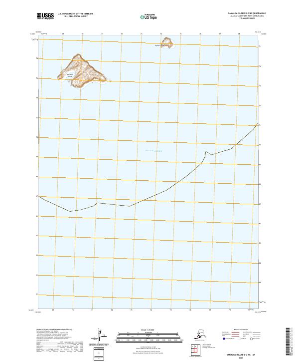
2021 · Samalga Island D-2 NE
USGS Topo · 1:25,000
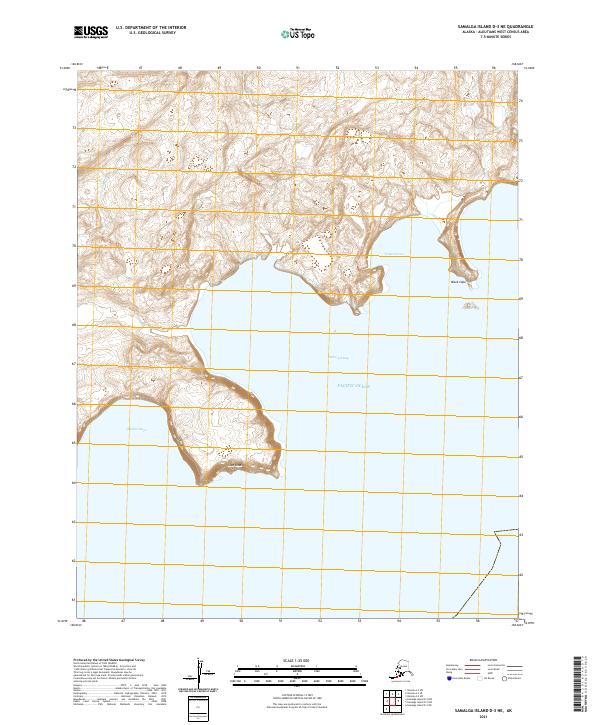
2021 · Samalga Island D-3 NE
USGS Topo · 1:25,000