2021 Map of Samalga Island D-4 NW
USGS Topo · Published 2021About this map
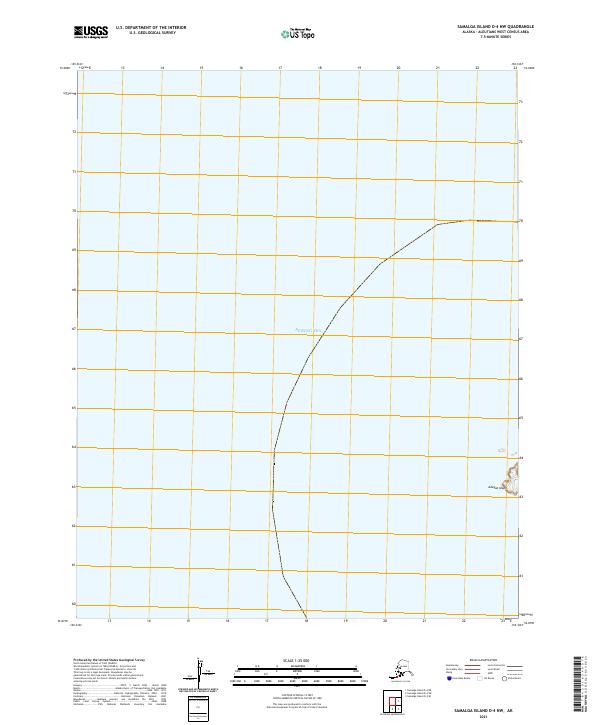
Adugak Island sits within the vast waters of the Bering Sea in this 2021 topographic record of the Aleutians West Census Area. This coastal survey documents a remote marine environment where the only landform of note is a small island situated within the grid of Township 84 South, Range 138 West. The lack of inland settlements, roads, or man-made structures highlights the isolated nature of this maritime region, serving as a clean baseline of the local shoreline and bathymetry for researchers and maritime historians tracking the geography of the Aleutian chain.
Find a feature on this map
3 named features on this map. Tap any name to fly to it.
Don’t see what you’re looking for? This feature index may not catch every label — zoom into the map to look around manually.
Map Details
Editions of this 2021 Samalga Island D-4 NW Map
This is the sole edition of this map. No revisions or reprints were ever made.