
1958 Map of Samalga Island
USGS Topo · Published 1958About this map
Nikolski sits on the western shore of Umnak Island, serving as a rare center of habitation in this 1950s survey of the Aleutian Islands. The settlement is situated near Nikolski Bay and the smaller Nikolski Cabins, providing a look at local life before the modern era. The landscape is defined by the volcanic peaks of the Islands of the Four Mountains, including the prominent Mt Cleveland on Chuginadak Island and Black Pk.
Find a feature on this map
39 named features on this map. Tap any name to fly to it.
Don’t see what you’re looking for? This feature index may not catch every label — zoom into the map to look around manually.
Map Details
Editions of this 1958 Samalga Island Map
This is the sole edition of this map. No revisions or reprints were ever made.
Other maps of this area

1951 · Amukta
USGS Topo · 1:250,000

1951 · Samalga Island
USGS Topo · 1:250,000

1951 · Umnak
USGS Topo · 1:250,000

1958 · Umnak
USGS Topo · 1:250,000
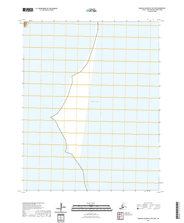
2021 · Samalga Island D-6 OE E NW
USGS Topo · 1:25,000
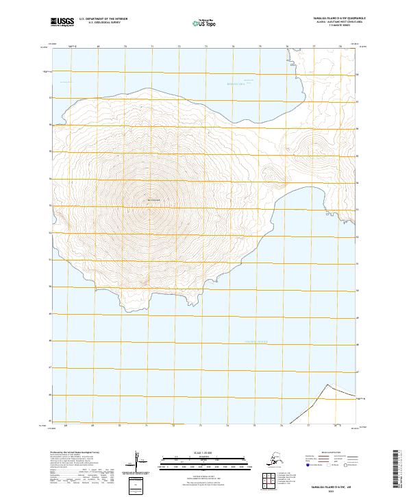
2021 · Samalga Island D-6 SW
USGS Topo · 1:25,000
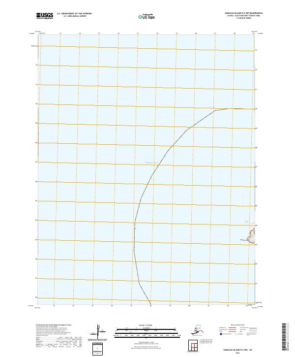
2021 · Samalga Island D-4 NW
USGS Topo · 1:25,000
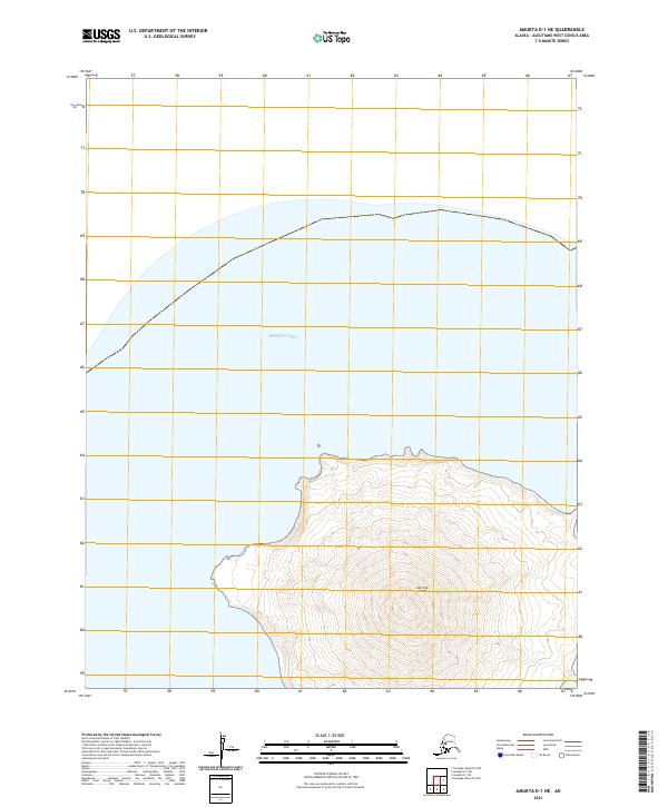
2021 · Amukta D-1 NE
USGS Topo · 1:25,000
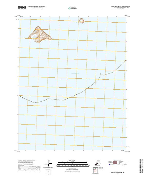
2021 · Samalga Island D-2 NE
USGS Topo · 1:25,000
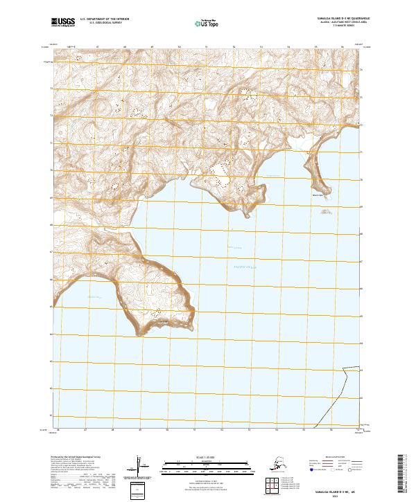
2021 · Samalga Island D-3 NE
USGS Topo · 1:25,000