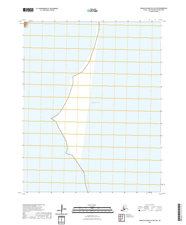
2021 Map of Samalga Island D-6 OE E NW
USGS Topo · Published 2021About this map
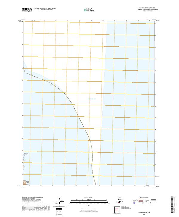
The Bering Sea dominates this coastal survey in the Aleutians West census area, where the Pacific and Arctic waters meet. The sheet primarily delineates maritime space, showing the vast expanse of the northern sea as it transitions toward the southwestern reaches of the Aleutian chain. Inland boundaries for the Public Land Survey System are established through the marking of t83s r142w and t84s r142w, providing essential geographic coordinates in a region where landmass is limited. This 2021 edition reflects modern cartographic standards for a remote stretch of the Alaska coastline where human settlement is absent, focusing instead on the hydrography and jurisdictional divisions of the open water.
Find a feature on this map
9 named features on this map. Tap any name to fly to it.
Don’t see what you’re looking for? This feature index may not catch every label — zoom into the map to look around manually.
Map Details
Editions of this 2021 Samalga Island D-6 OE E NW Map
This is the sole edition of this map. No revisions or reprints were ever made.
Other maps of this area

1951 · Samalga Island
USGS Topo · 1:250,000

1951 · Umnak
USGS Topo · 1:250,000

1958 · Samalga Island
USGS Topo · 1:250,000

1958 · Umnak
USGS Topo · 1:250,000
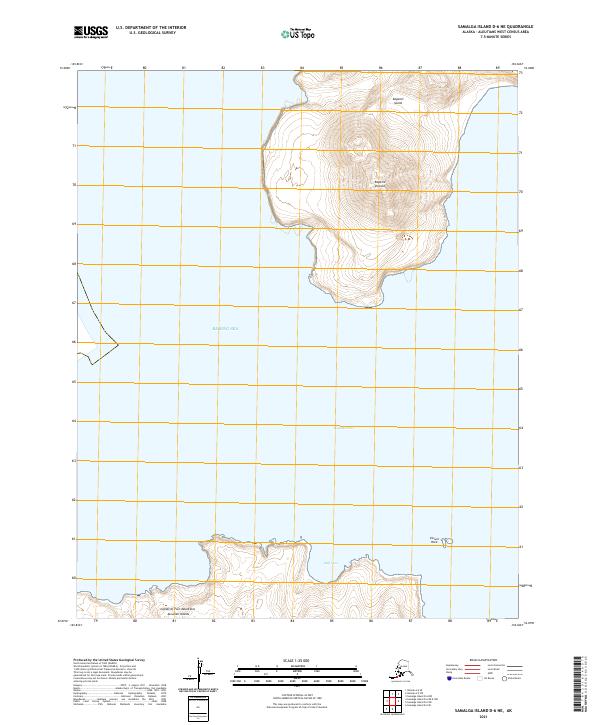
2021 · Samalga Island D-6 NE
USGS Topo · 1:25,000
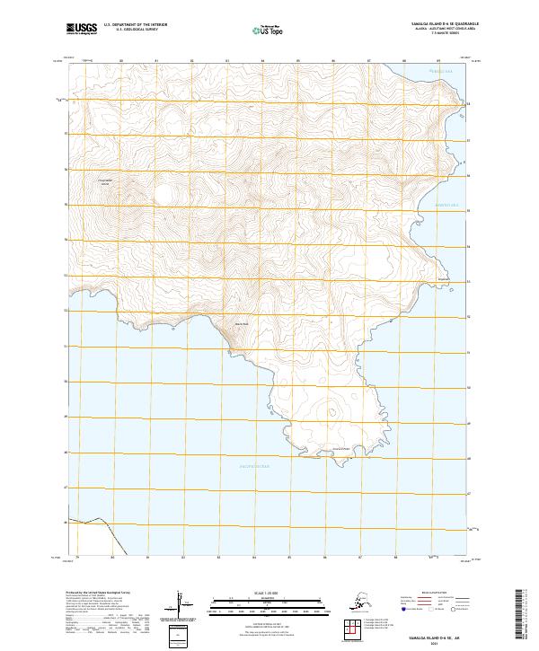
2021 · Samalga Island D-6 SE
USGS Topo · 1:25,000
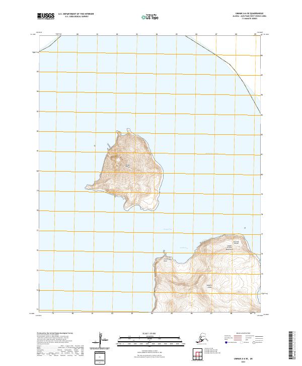
2021 · Umnak A-6 SE
USGS Topo · 1:25,000
2021 · Umnak A-5 SW
USGS Topo · 1:25,000