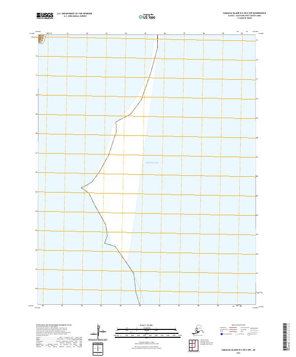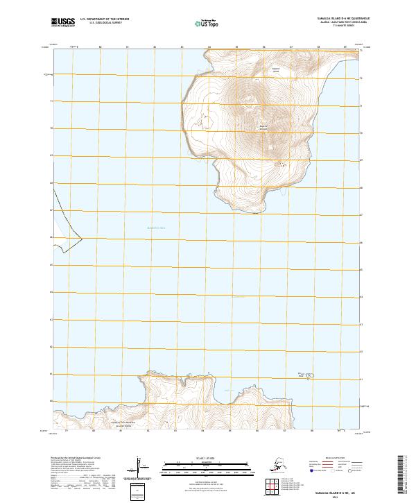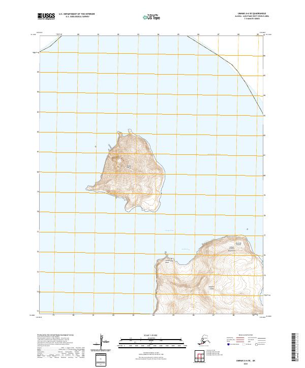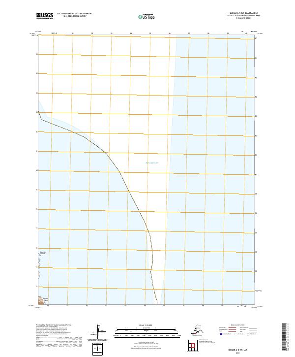
2021 Map of Umnak A-5 SW
USGS Topo · Published 2021About this map
Kagamil Island sits at the southwestern edge of this maritime study, representing a volcanic landform within the volcanic chain of the Aleutian Islands. The surrounding expanse of the Bering Sea dominates the landscape, illustrating the isolation and harsh environmental conditions of the Aleutians West Census Area. This 2021 record highlights the remote geography of the region, where land is sparse and human settlements are represented only by numbered cadastral designations such as 12 and 13. The map defines the maritime boundaries and Public Land Survey System divisions, including t82s r142w and t83s r142w, which are essential for tracking property and jurisdictional limits in these uninhabited volcanic reaches.
Find a feature on this map
11 named features on this map. Tap any name to fly to it.
Don’t see what you’re looking for? This feature index may not catch every label — zoom into the map to look around manually.
Map Details
Editions of this 2021 Umnak A-5 SW Map
This is the sole edition of this map. No revisions or reprints were ever made.