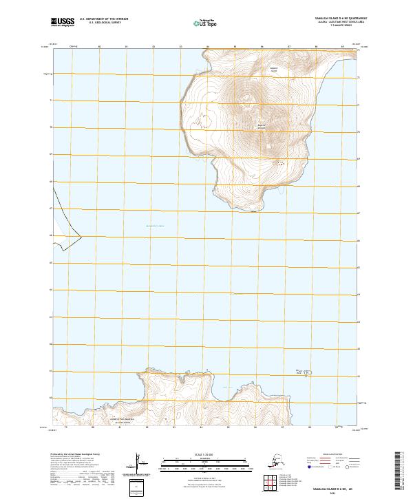
2021 Map of Samalga Island D-6 NE
USGS Topo · Published 2021About this map
Kagamil Island and the neighboring landforms of the Islands of Four Mountains dominate this 2021 topographic study of the Aleutian Islands. The landscape is defined by the steep elevation of Kagamil Volcano, which rises sharply from the Bering Sea. This map details the precarious coastal geography of the region, identifying small maritime features such as Skiff Cove and the isolated Corwin Rock to the southeast. Between the islands, the deep waters of Kagamil Pass separate the landmasses, illustrating the volcanic and oceanic forces that shape this specific part of the Aleutian chain. The lack of human infrastructure or permanent settlements highlights the uninhabited nature of these islands, where the land and sea exist in an environment dictated entirely by geology.
Find a feature on this map
11 named features on this map. Tap any name to fly to it.
Don’t see what you’re looking for? This feature index may not catch every label — zoom into the map to look around manually.
Map Details
Editions of this 2021 Samalga Island D-6 NE Map
This is the sole edition of this map. No revisions or reprints were ever made.
Other maps of this area

1951 · Samalga Island
USGS Topo · 1:250,000

1951 · Umnak
USGS Topo · 1:250,000

1958 · Samalga Island
USGS Topo · 1:250,000

1958 · Umnak
USGS Topo · 1:250,000
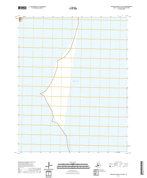
2021 · Samalga Island D-6 OE E NW
USGS Topo · 1:25,000
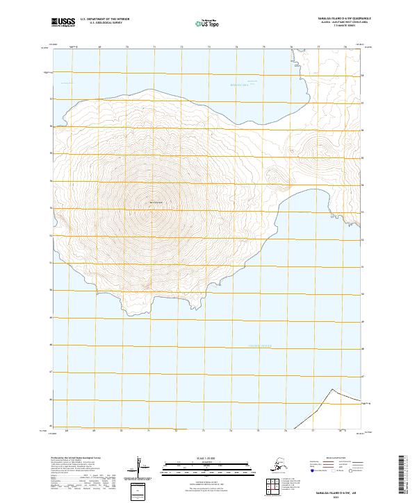
2021 · Samalga Island D-6 SW
USGS Topo · 1:25,000
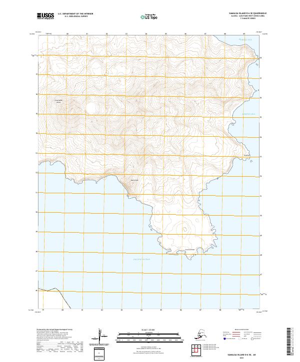
2021 · Samalga Island D-6 SE
USGS Topo · 1:25,000
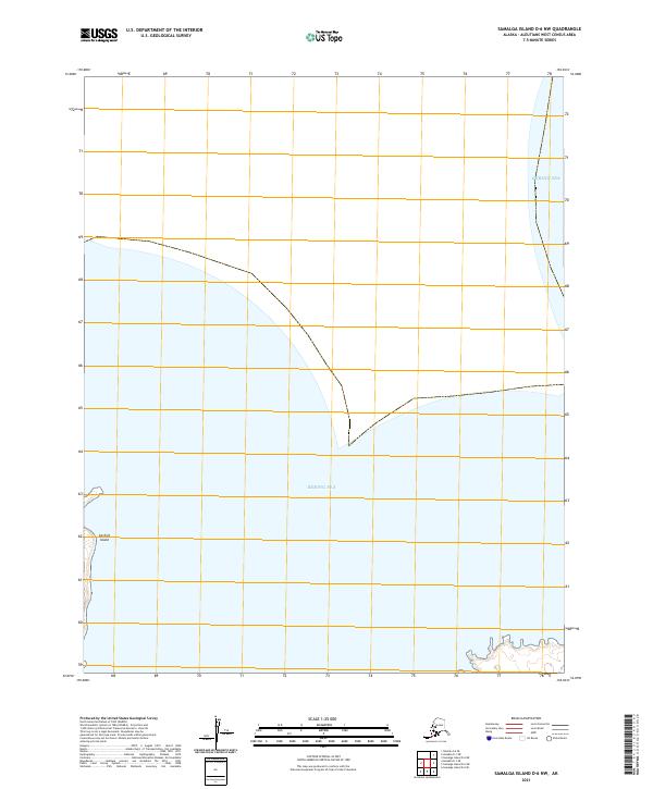
2021 · Samalga Island D-6 NW
USGS Topo · 1:25,000
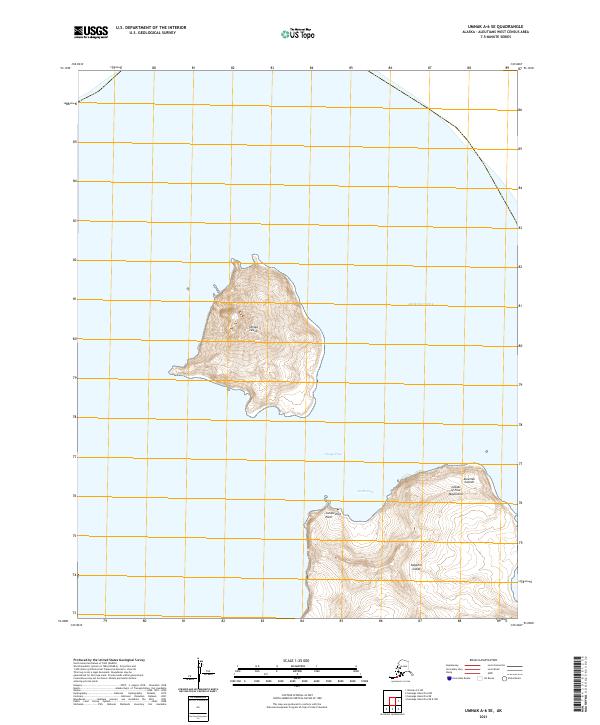
2021 · Umnak A-6 SE
USGS Topo · 1:25,000
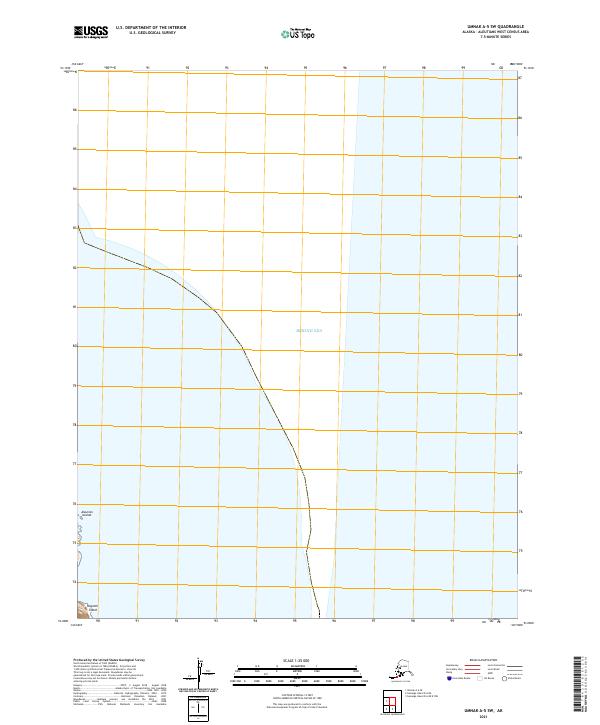
2021 · Umnak A-5 SW
USGS Topo · 1:25,000