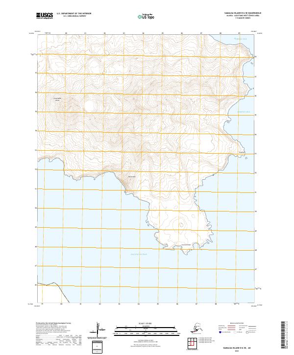
2021 Map of Samalga Island D-6 SE
USGS Topo · Published 2021About this map
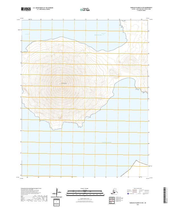
Chuginadak Island dominates this 2021 topographic map, revealing the dramatic elevation of a volcanic landscape in the Aleutian archipelago. The terrain rises sharply from the southern coastline at Concord Point to the summit of Black Peak, which stands as the central landmark of this peninsula. The map illustrates a stark geographic divide, with the northern shores meeting the Bering Sea and the southern edge fronting the Pacific Ocean. High-resolution contour lines delineate the steep ridges and drainage patterns that characterize this unpopulated stretch of the islands. To the east, the shoreline at Imgaxsxix provides a look at the indentations and rocky points that define the island's perimeter. The lack of man-made infrastructure or roads highlights the isolation of this part of the Aleutians West Census Area, where geological features and maritime boundaries remain the primary points of reference.
Find a feature on this map
10 named features on this map. Tap any name to fly to it.
Don’t see what you’re looking for? This feature index may not catch every label — zoom into the map to look around manually.
Map Details
Editions of this 2021 Samalga Island D-6 SE Map
This is the sole edition of this map. No revisions or reprints were ever made.