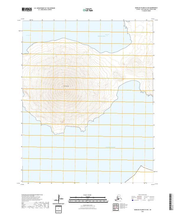
2021 Map of Samalga Island D-6 SW
USGS Topo · Published 2021About this map
Mt Cleveland dominates this remote volcanic landscape in the Aleutian Islands, rising as a symmetrical cone between the Bering Sea and the Pacific Ocean. This 2021 survey illustrates the island's steep, concentric topographical contours, which reveal the dramatic relief of the stratovolcano. Coastal features are concentrated along the northern and eastern shores, where Applegate Cove and South Cove provide distinct maritime breaks in the otherwise uniform coastline. The surrounding waters are marked by Carlisle Pass to the west, a narrow strait that separates this landmass from its neighbors in the volcanic chain. The map serves as a precise record of this uninhabited terrain, focusing on the raw interaction between high-elevation geology and the subarctic maritime environment.
Find a feature on this map
11 named features on this map. Tap any name to fly to it.
Don’t see what you’re looking for? This feature index may not catch every label — zoom into the map to look around manually.
Map Details
Editions of this 2021 Samalga Island D-6 SW Map
This is the sole edition of this map. No revisions or reprints were ever made.
Other maps of this area

1951 · Amukta
USGS Topo · 1:250,000

1951 · Samalga Island
USGS Topo · 1:250,000

1958 · Samalga Island
USGS Topo · 1:250,000
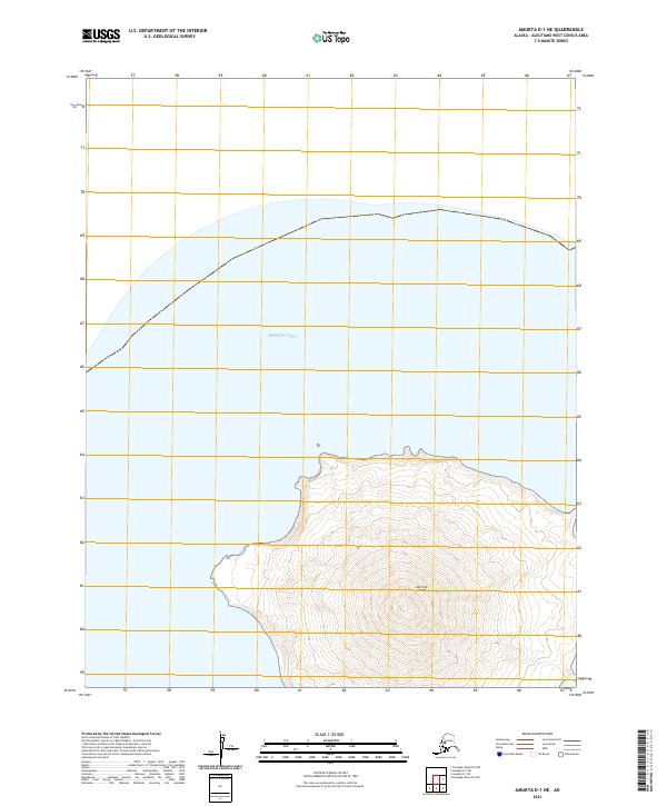
2021 · Amukta D-1 NE
USGS Topo · 1:25,000
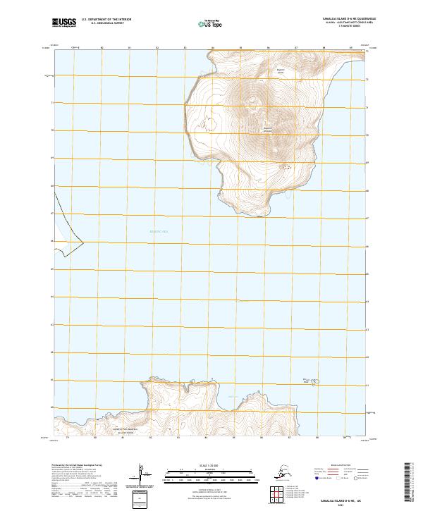
2021 · Samalga Island D-6 NE
USGS Topo · 1:25,000
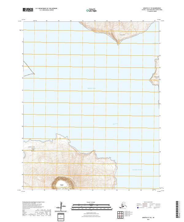
2021 · Amukta D-1 SE
USGS Topo · 1:25,000
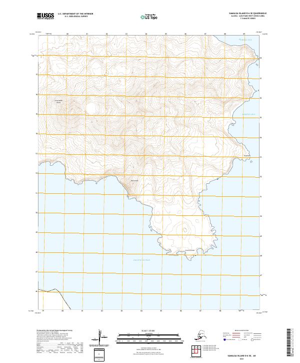
2021 · Samalga Island D-6 SE
USGS Topo · 1:25,000
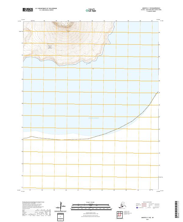
2021 · Amukta C-1 NE
USGS Topo · 1:25,000
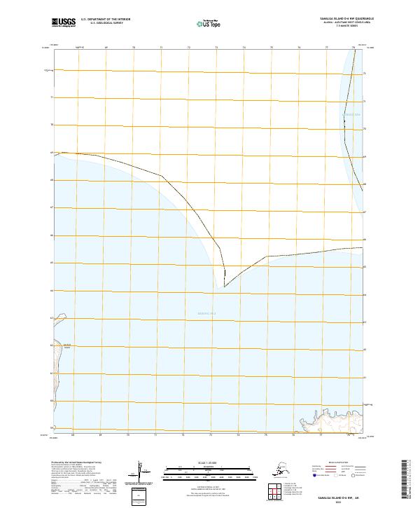
2021 · Samalga Island D-6 NW
USGS Topo · 1:25,000