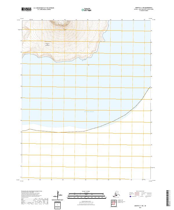
2021 Map of Amukta C-1 NE
USGS Topo · Published 2021About this map
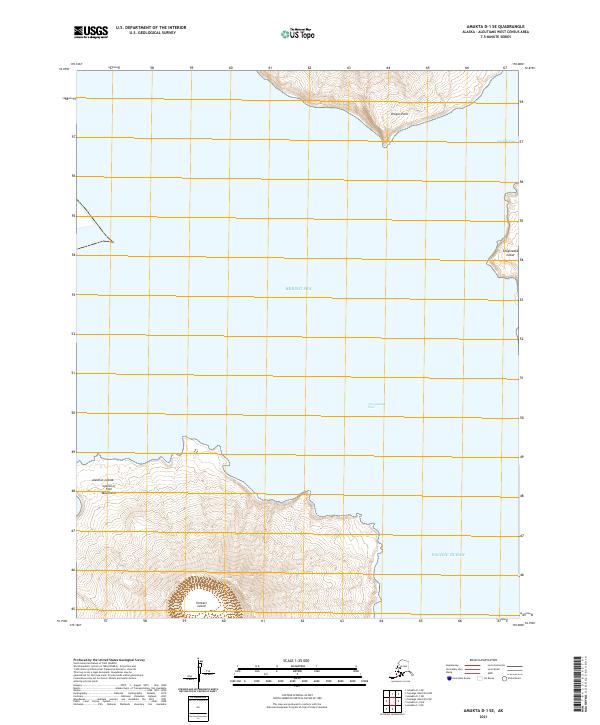
Herbert Island rises from the northern reaches of this maritime survey, forming part of the remote Islands of Four Mountains within the volcanic Aleutian Islands chain. This specific section of the archipelago is dominated by the steep southern slopes and shoreline of the island, where the land drops precipitously into the Pacific Ocean. As a modern topographic study by the U.S. Geological Survey, it captures the uninhabited and primary terrain of this sub-arctic environment, defined by extreme elevation changes over short distances and a coastline shaped by the volatile North Pacific.
Find a feature on this map
6 named features on this map. Tap any name to fly to it.
Don’t see what you’re looking for? This feature index may not catch every label — zoom into the map to look around manually.
Map Details
Editions of this 2021 Amukta C-1 NE Map
This is the sole edition of this map. No revisions or reprints were ever made.