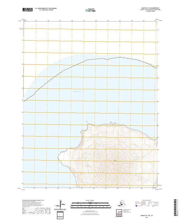
2021 Map of Amukta D-1 NE
USGS Topo · Published 2021About this map
Carlisle Island rises dramatically from the Bering Sea in this topographical representation of the Islands of Four Mountains. The island is defined by a singular, symmetrical volcanic peak reaching over 1,200 meters in elevation, with contour lines illustrating a steep ascent from the coastline to the central summit. The northern half of the island dominates the sheet, showcasing the land's isolation within the North Pacific. The cartography includes Public Land Survey System grids, specifically t84s r145w and t84s r144w, which overlay the uninhabited terrain. This survey provides a precise account of the shoreline and elevation patterns for one of the most remote volcanic landmarks in the Aleutian chain.
Find a feature on this map
4 named features on this map. Tap any name to fly to it.
Don’t see what you’re looking for? This feature index may not catch every label — zoom into the map to look around manually.
Map Details
Editions of this 2021 Amukta D-1 NE Map
This is the sole edition of this map. No revisions or reprints were ever made.
Other maps of this area

1951 · Amukta
USGS Topo · 1:250,000

1951 · Samalga Island
USGS Topo · 1:250,000

1951 · Umnak
USGS Topo · 1:250,000

1958 · Samalga Island
USGS Topo · 1:250,000

1958 · Umnak
USGS Topo · 1:250,000
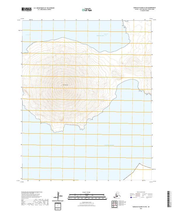
2021 · Samalga Island D-6 SW
USGS Topo · 1:25,000
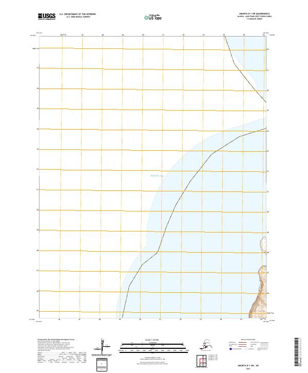
2021 · Amukta D-1 SW
USGS Topo · 1:25,000
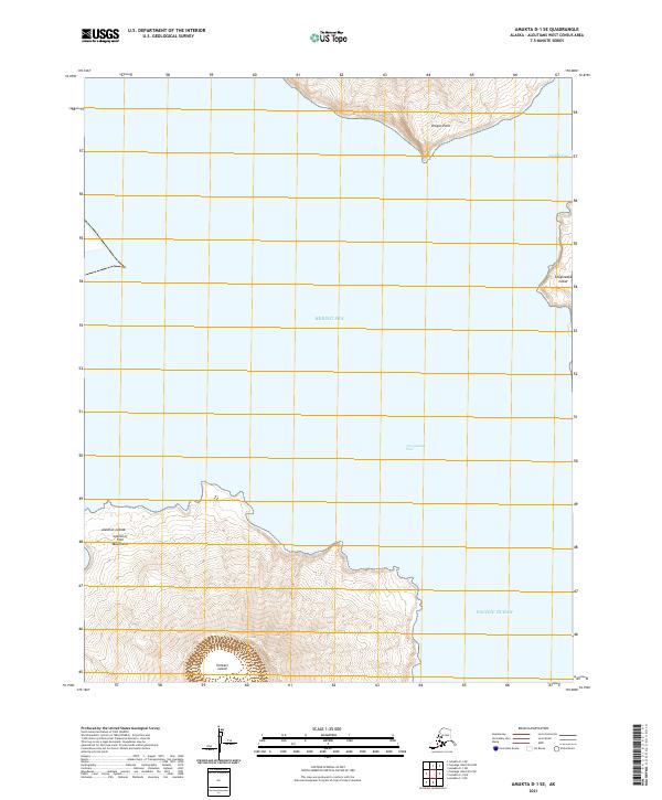
2021 · Amukta D-1 SE
USGS Topo · 1:25,000
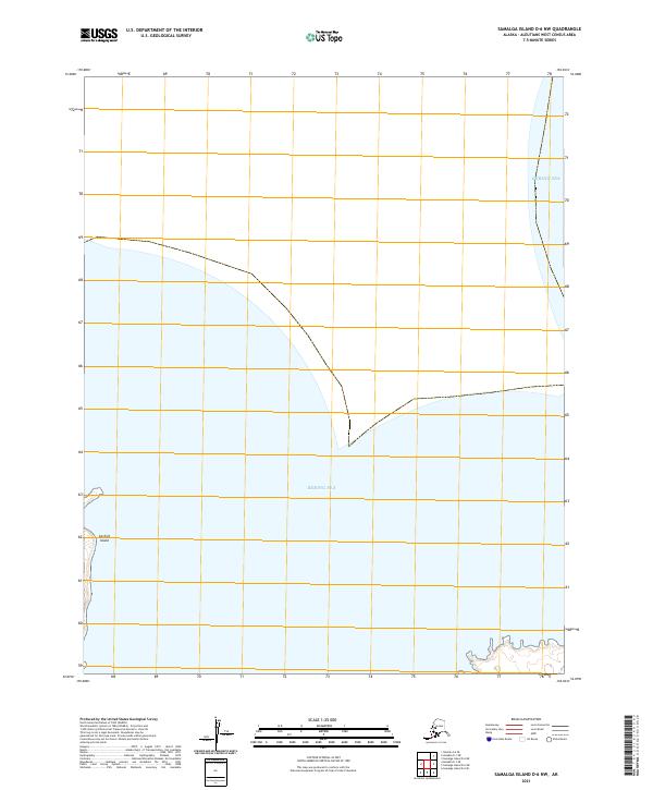
2021 · Samalga Island D-6 NW
USGS Topo · 1:25,000