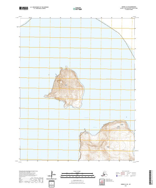
2021 Map of Umnak A-6 SE
USGS Topo · Published 2021About this map
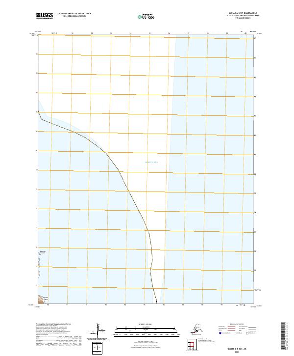
Uliaga Island stands at the center of this 2021 topographic survey, rising dramatically from the waters of the Bering Sea. Located within the larger chain of the Aleutian Islands, this map focuses on the easternmost portion of the Islands of Four Mountains. The southern portion of the sheet reveals the northern coast of Kagamil Island, separated from its northern neighbor by the waters of Uliaga Pass. These volcanic landmasses are defined by steep contour intervals that reach prominent peaks, with coastal landmarks such as Candlestick Point and North Cove providing the only breaks in the land-sea interface. The map illustrates the extreme isolation and volcanic geography of this part of Alaska, where the lack of human infrastructure or roads emphasizes the primitive state of the subarctic environment in the early 21st century.
Find a feature on this map
11 named features on this map. Tap any name to fly to it.
Don’t see what you’re looking for? This feature index may not catch every label — zoom into the map to look around manually.
Map Details
Editions of this 2021 Umnak A-6 SE Map
This is the sole edition of this map. No revisions or reprints were ever made.
Other maps of this area

1951 · Samalga Island
USGS Topo · 1:250,000

1951 · Umnak
USGS Topo · 1:250,000

1958 · Samalga Island
USGS Topo · 1:250,000

1958 · Umnak
USGS Topo · 1:250,000
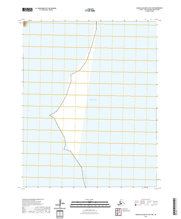
2021 · Samalga Island D-6 OE E NW
USGS Topo · 1:25,000
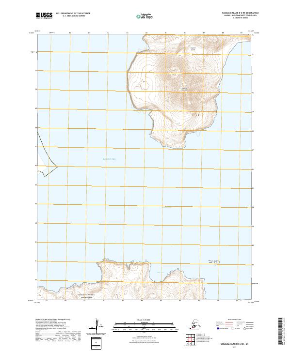
2021 · Samalga Island D-6 NE
USGS Topo · 1:25,000
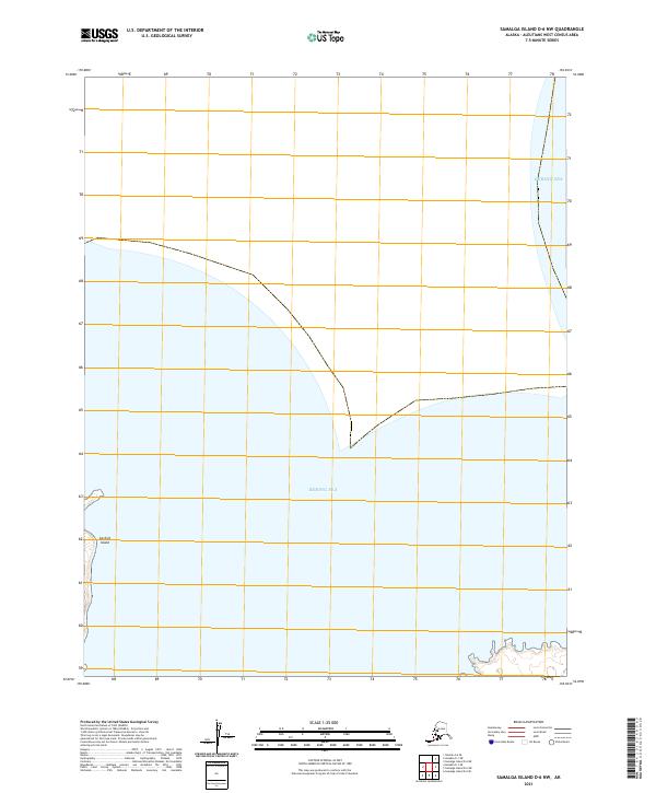
2021 · Samalga Island D-6 NW
USGS Topo · 1:25,000
2021 · Umnak A-5 SW
USGS Topo · 1:25,000