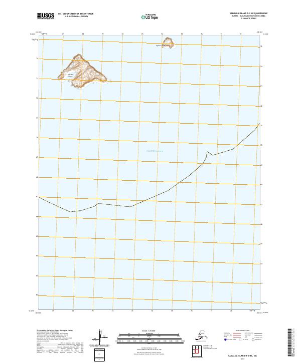
2021 Map of Samalga Island D-2 NE
USGS Topo · Published 2021About this map
Vsevidof Island and Ogchul Island rise from the Pacific Ocean in this survey of the Fox Islands within the eastern Aleutian chain. This 2021 edition captures the desolate topography and isolated landmasses that define this maritime environment. The larger Vsevidof Island dominates the western portion of the sheet with its distinct elevations and coastal contours, while the smaller Ogchul Island sits to the northeast. These remote islands are part of the vast Aleutians West area, shown here with precise bathymetric and topographic data including the Public Land Survey System grid of t83s r133w. The map provides a critical look at the shoreline and geological features of these uninhabited landmasses, which serve as vital points of reference in the North Pacific.
Find a feature on this map
4 named features on this map. Tap any name to fly to it.
Don’t see what you’re looking for? This feature index may not catch every label — zoom into the map to look around manually.
Map Details
Editions of this 2021 Samalga Island D-2 NE Map
This is the sole edition of this map. No revisions or reprints were ever made.