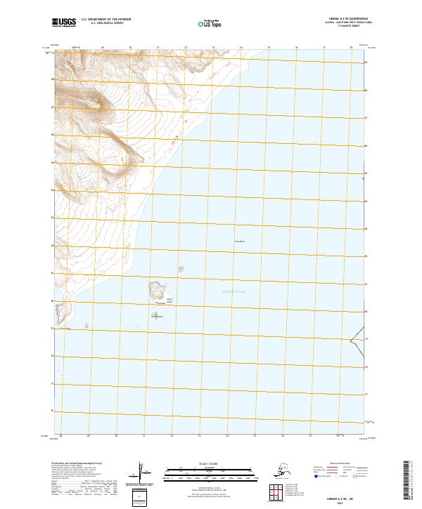
2021 Map of Umnak A-2 SE
USGS Topo · Published 2021About this map
Amos Point anchors the western coastline of this Aleutian island reach, where the land meets the vast expanse of the Pacific Ocean. The landscape is defined by the steep maritime terrain typical of the region, featuring offshore hazards and landforms such as the isolated Lone Rock. To the east, the map reveals a cluster of smaller geographic features including Kigul Island, Unglulagan, and Kingdaxssan, which together suggest a complex coastal topography. This 2021 data, derived from SPOT imagery and the National Hydrography Dataset, provides a modern spatial record of this remote maritime environment, marking the exact boundaries of townships like t82s r133w across the islands and sea.
Find a feature on this map
10 named features on this map. Tap any name to fly to it.
Don’t see what you’re looking for? This feature index may not catch every label — zoom into the map to look around manually.
Map Details
Editions of this 2021 Umnak A-2 SE Map
This is the sole edition of this map. No revisions or reprints were ever made.
Other maps of this area

1951 · Samalga Island
USGS Topo · 1:250,000

1951 · Umnak
USGS Topo · 1:250,000

1958 · Samalga Island
USGS Topo · 1:250,000

1958 · Umnak
USGS Topo · 1:250,000
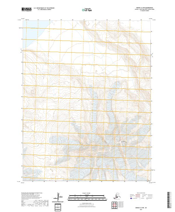
2021 · Umnak A-2 NW
USGS Topo · 1:25,000
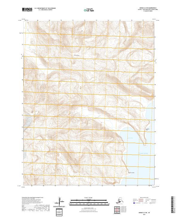
2021 · Umnak A-2 NE
USGS Topo · 1:25,000
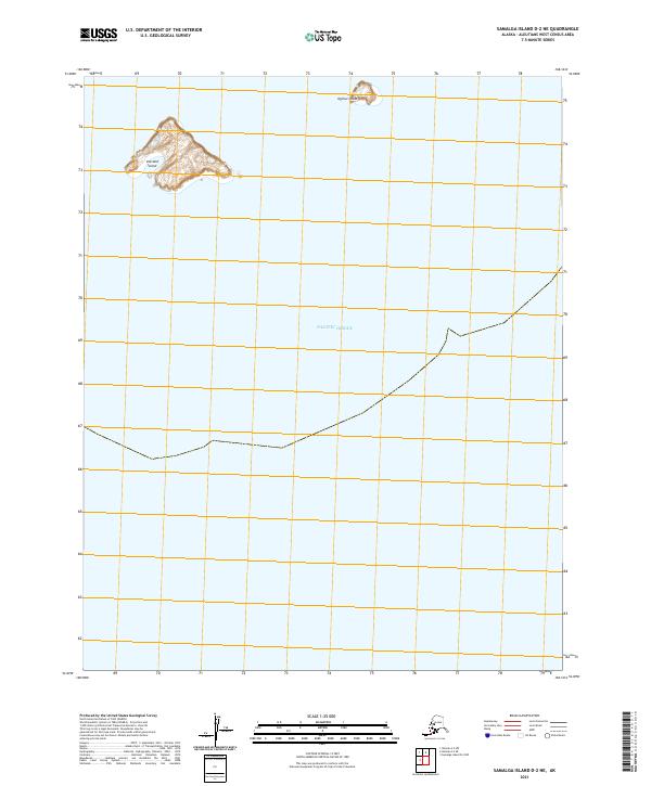
2021 · Samalga Island D-2 NE
USGS Topo · 1:25,000
2021 · Samalga Island D-2 NW
USGS Topo · 1:25,000
2021 · Umnak A-2 SW
USGS Topo · 1:25,000
2021 · Umnak A-1 NW
USGS Topo · 1:25,000