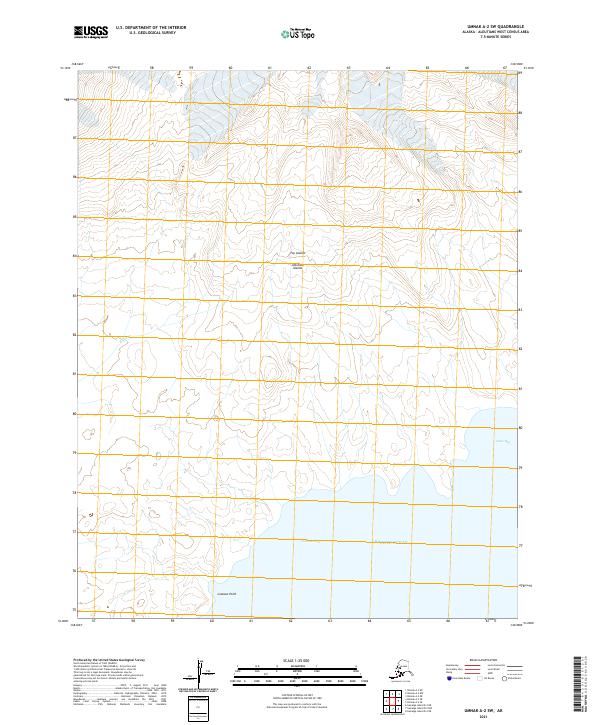
2021 Map of Umnak A-2 SW
USGS Topo · Published 2021About this map
Fox Islands and the broader Aleutian Islands chain define this coastal landscape on Umnak. The terrain is characterized by steep elevation changes near the shoreline of the Pacific Ocean, where water features like Amos Bay and Lookout Cove provide natural indentations in the southern coast. Further inland, Black Cr drains the high ground, while Lookout Point serves as a prominent coastal landmark. This 2021 survey utilizes contemporary hydrography and elevation data to map a sparsely named but topographically complex maritime environment, focusing on the interface between the open ocean and the island's southern reach.
Find a feature on this map
16 named features on this map. Tap any name to fly to it.
Don’t see what you’re looking for? This feature index may not catch every label — zoom into the map to look around manually.
Map Details
Editions of this 2021 Umnak A-2 SW Map
This is the sole edition of this map. No revisions or reprints were ever made.
Other maps of this area

1951 · Samalga Island
USGS Topo · 1:250,000

1951 · Umnak
USGS Topo · 1:250,000

1958 · Samalga Island
USGS Topo · 1:250,000

1958 · Umnak
USGS Topo · 1:250,000
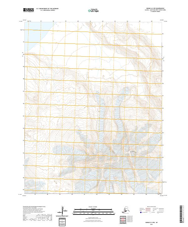
2021 · Umnak A-2 NW
USGS Topo · 1:25,000
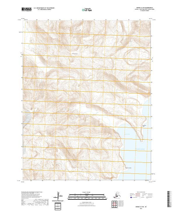
2021 · Umnak A-2 NE
USGS Topo · 1:25,000
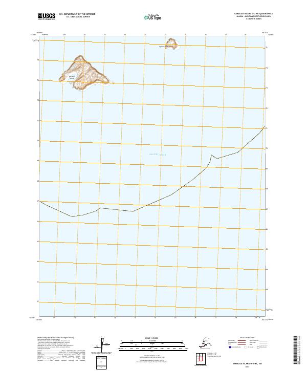
2021 · Samalga Island D-2 NE
USGS Topo · 1:25,000
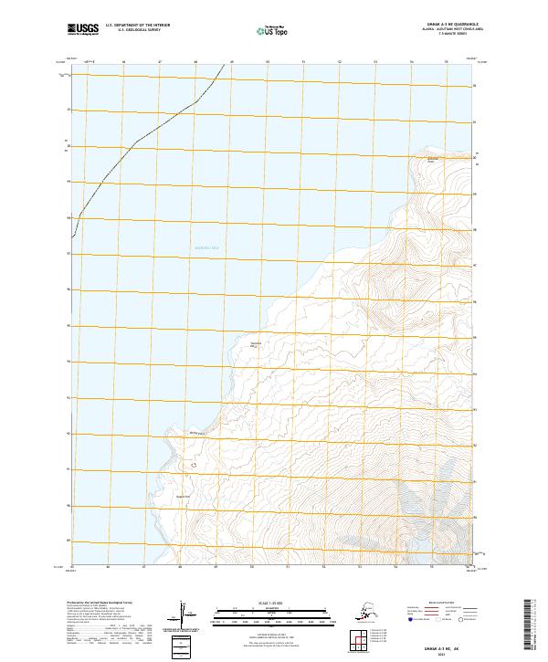
2021 · Umnak A-3 NE
USGS Topo · 1:25,000
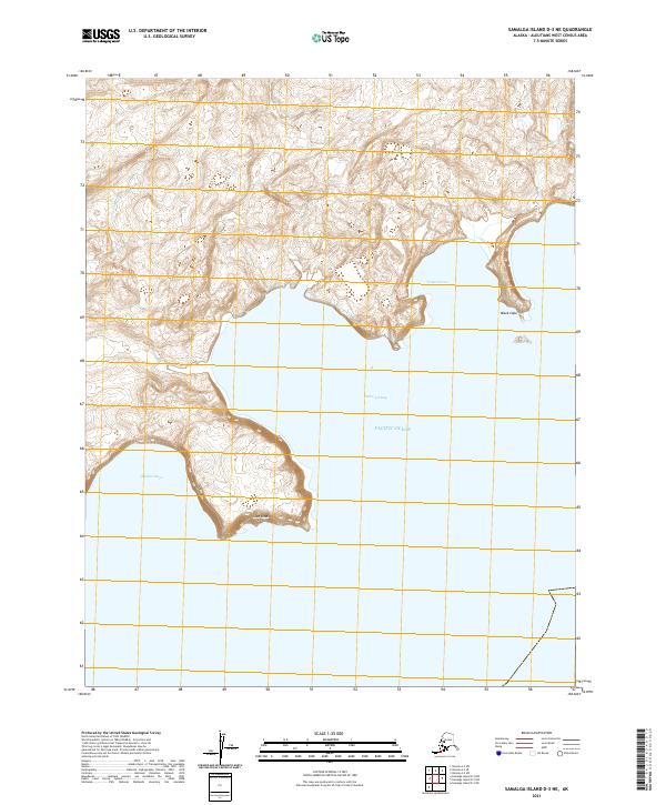
2021 · Samalga Island D-3 NE
USGS Topo · 1:25,000
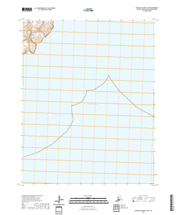
2021 · Samalga Island D-2 NW
USGS Topo · 1:25,000