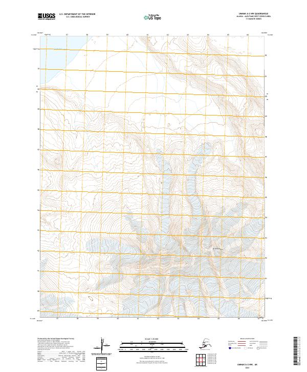
2021 Map of Umnak A-2 NW
USGS Topo · Published 2021About this map
Mt Recheshnoi dominates the interior of this remote Aleutian landscape, its glacial ice fields and high elevation contours reaching across the southern half of the quadrangle. The terrain transitions from these jagged heights down toward the northern coastline, where the land meets the cold waters of the Bering Sea. This 2021 survey illustrates a region defined by its geological activity and extreme isolation on Umnak Island. While the map is devoid of roads or settlements, the intricate contour lines reveal a complex network of volcanic ridges and glacial valleys, characteristic of the Aleutians West Census Area. The vastness of the mountain massif and the proximity to the open sea highlight the intersection of tectonic forces and the maritime environment in the high latitudes of the North Pacific.
Find a feature on this map
8 named features on this map. Tap any name to fly to it.
Don’t see what you’re looking for? This feature index may not catch every label — zoom into the map to look around manually.
Map Details
Editions of this 2021 Umnak A-2 NW Map
This is the sole edition of this map. No revisions or reprints were ever made.
Other maps of this area

1951 · Umnak
USGS Topo · 1:250,000

1958 · Umnak
USGS Topo · 1:250,000
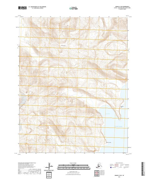
2021 · Umnak A-2 NE
USGS Topo · 1:25,000
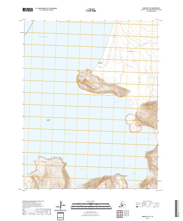
2021 · Umnak B-2 SE
USGS Topo · 1:25,000
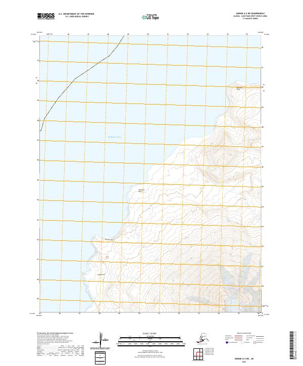
2021 · Umnak A-3 NE
USGS Topo · 1:25,000
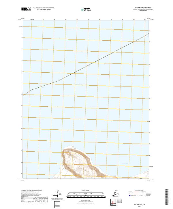
2021 · Umnak B-2 SW
USGS Topo · 1:25,000
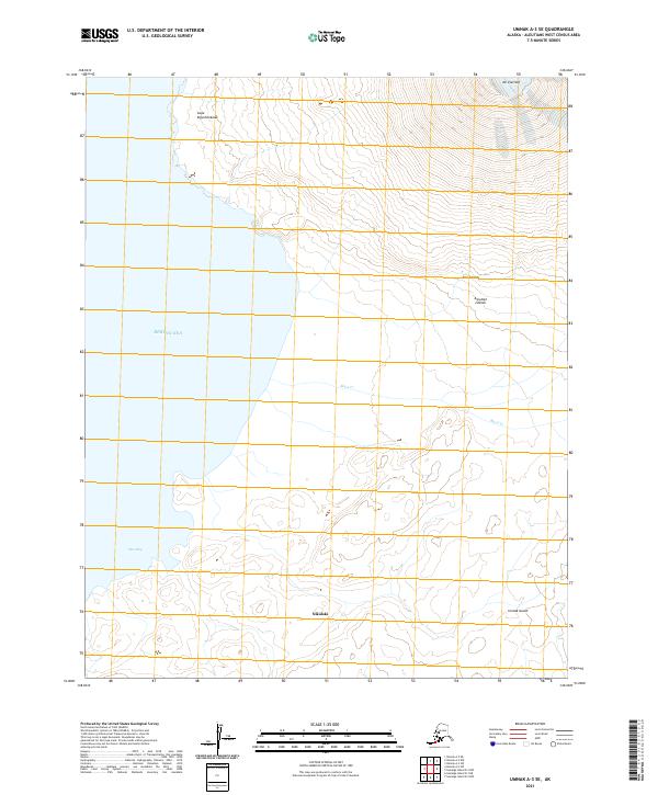
2021 · Umnak A-3 SE
USGS Topo · 1:25,000
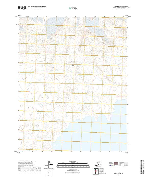
2021 · Umnak A-2 SW
USGS Topo · 1:25,000
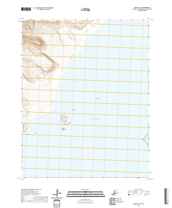
2021 · Umnak A-2 SE
USGS Topo · 1:25,000