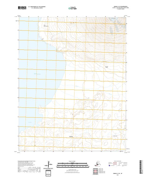
2021 Map of Umnak A-3 SE
USGS Topo · Published 2021About this map
Nikolski sits at the heart of this landscape on Umnak Island, situated along the eastern reaches of the Bering Sea. This coastal environment is dominated by the steep ascent toward Mt Vsevidof to the northeast, where high-altitude contours reveal the volcanic character of the Aleutian Islands. The coastline is marked by significant maritime landmarks, including Cape Kigushimkada and the protected waters of Okee Bay. Moving inland, the terrain is cut by drainage systems such as Black Cr, which flows toward the southern coastal edge. This 2021 survey by the U.S. Geological Survey illustrates the isolated settlement patterns and dramatic elevation changes typical of the Fox Islands chain, providing a modern record of one of the most remote inhabited locations in the United States.
Find a feature on this map
15 named features on this map. Tap any name to fly to it.
Don’t see what you’re looking for? This feature index may not catch every label — zoom into the map to look around manually.
Map Details
Editions of this 2021 Umnak A-3 SE Map
This is the sole edition of this map. No revisions or reprints were ever made.
Other maps of this area

1951 · Samalga Island
USGS Topo · 1:250,000

1951 · Umnak
USGS Topo · 1:250,000

1958 · Samalga Island
USGS Topo · 1:250,000

1958 · Umnak
USGS Topo · 1:250,000
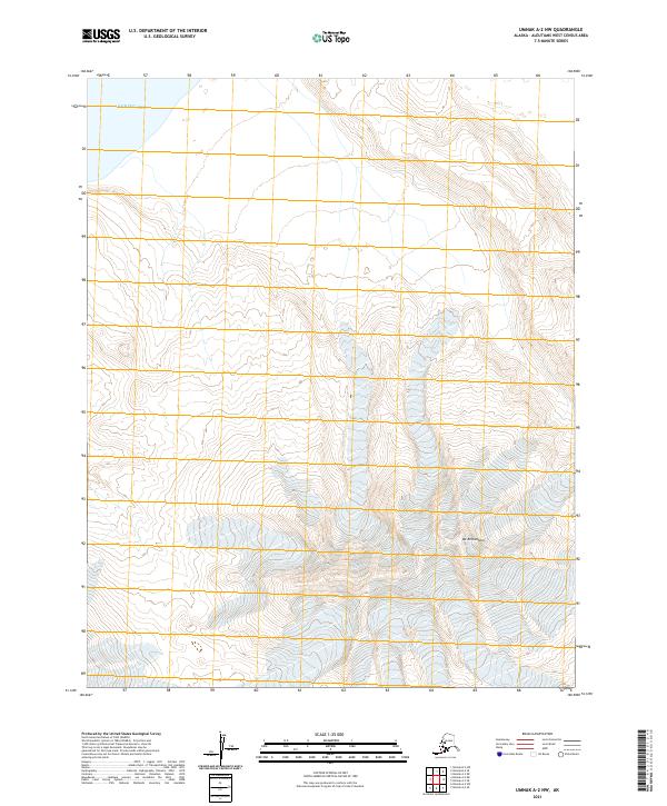
2021 · Umnak A-2 NW
USGS Topo · 1:25,000
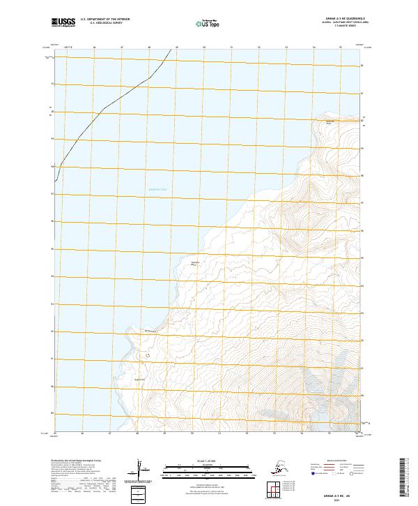
2021 · Umnak A-3 NE
USGS Topo · 1:25,000
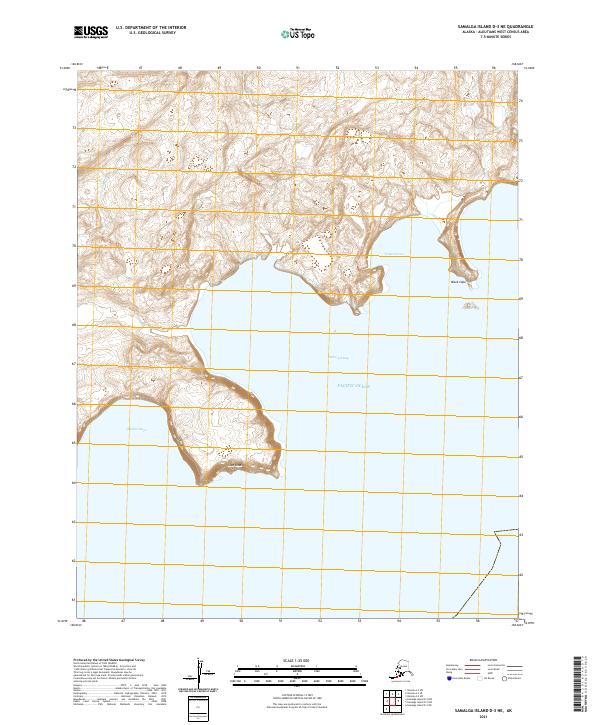
2021 · Samalga Island D-3 NE
USGS Topo · 1:25,000
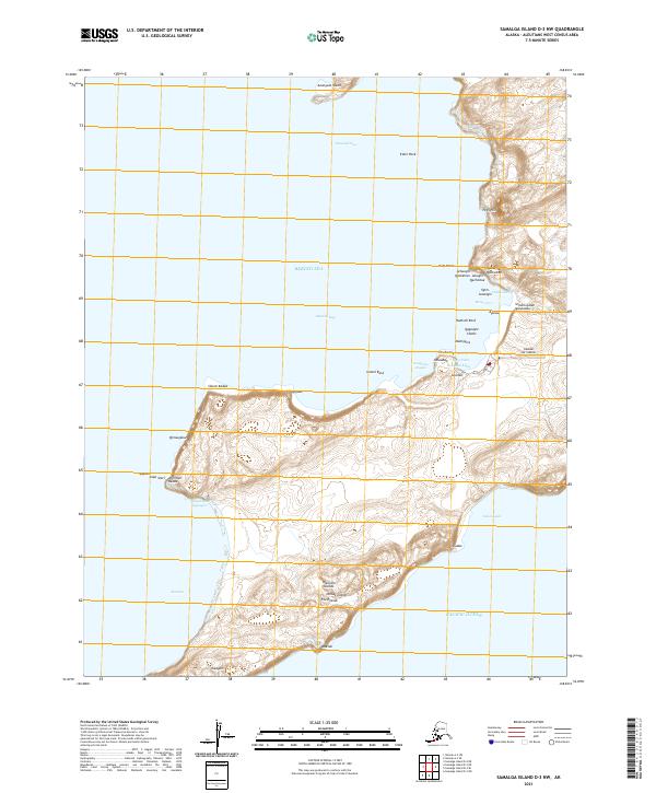
2021 · Samalga Island D-3 NW
USGS Topo · 1:25,000
2021 · Samalga Island D-2 NW
USGS Topo · 1:25,000
2021 · Umnak A-3 SW
USGS Topo · 1:25,000