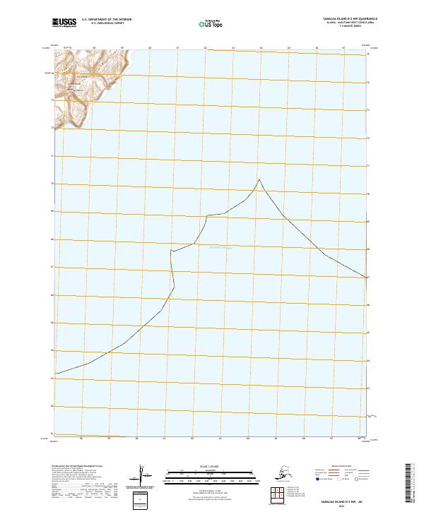
2021 Map of Samalga Island D-2 NW
USGS Topo · Published 2021About this map
Umnak Island, situated within the Fox Islands chain of the Aleutian Islands, marks the northwestern extent of this maritime landscape. The map focuses on the southern reaches of the island where the landmass tapers into the vast expanse of the Pacific Ocean. Contours here trace the high coastal elevations that drop sharply toward the shoreline, a characteristic feature of the volcanic topography found throughout this region of Alaska.
Find a feature on this map
8 named features on this map. Tap any name to fly to it.
Don’t see what you’re looking for? This feature index may not catch every label — zoom into the map to look around manually.
Map Details
Editions of this 2021 Samalga Island D-2 NW Map
This is the sole edition of this map. No revisions or reprints were ever made.
Other maps of this area

1951 · Samalga Island
USGS Topo · 1:250,000

1951 · Umnak
USGS Topo · 1:250,000

1958 · Samalga Island
USGS Topo · 1:250,000

1958 · Umnak
USGS Topo · 1:250,000
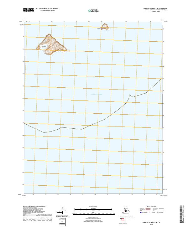
2021 · Samalga Island D-2 NE
USGS Topo · 1:25,000
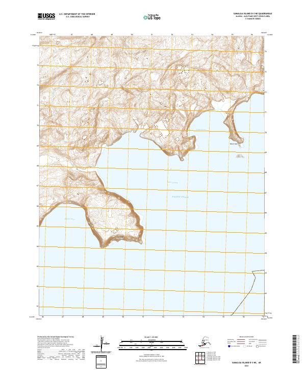
2021 · Samalga Island D-3 NE
USGS Topo · 1:25,000
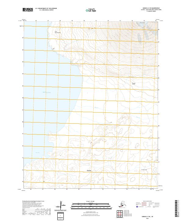
2021 · Umnak A-3 SE
USGS Topo · 1:25,000
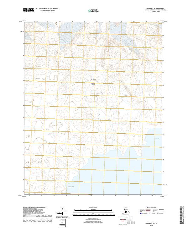
2021 · Umnak A-2 SW
USGS Topo · 1:25,000
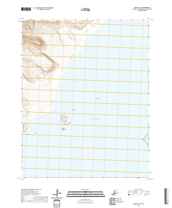
2021 · Umnak A-2 SE
USGS Topo · 1:25,000