2021 Map of Umnak A-3 NE
USGS Topo · Published 2021About this map
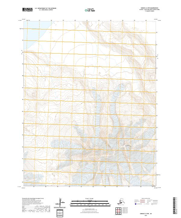
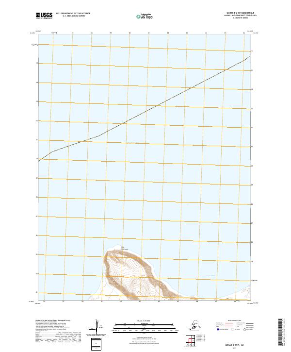
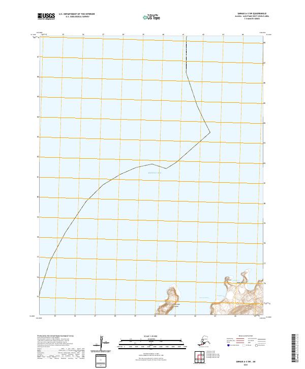
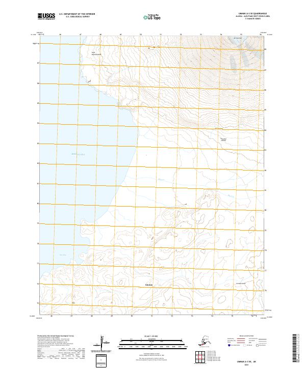
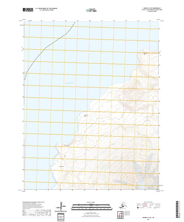
Teapot Hill stands as a prominent landmark on this coastal section of Umnak Island, where the volcanic terrain meets the Bering Sea. This 2021 survey illustrates a stark, maritime landscape defined by sharp coastal projections, including Kshaliuk Point in the north and the central Twinlava Point. The western shoreline is marked by Derby Point, which serves as a transition between the open sea and the rising interior elevations. The map reveals the intricate topography of the Aleutian chain, showing the relationship between coastal landmarks and the vast maritime environment. The absence of developed roads or settlements emphasizes the isolation of this region, focusing instead on the natural features that guide navigators and surveyors along these remote shores.
Find a feature on this map
8 named features on this map. Tap any name to fly to it.
Don’t see what you’re looking for? This feature index may not catch every label — zoom into the map to look around manually.
Map Details
Editions of this 2021 Umnak A-3 NE Map
This is the sole edition of this map. No revisions or reprints were ever made.