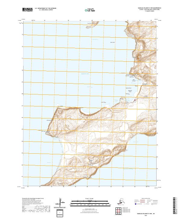
2021 Map of Samalga Island D-3 NW
USGS Topo · Published 2021About this map
Umnak Island and the smaller Anangula Island define this reach of the Aleutian Islands, where the Bering Sea meets the Pacific Ocean. This survey highlights the coastal geography surrounding Nikolski Bay, including complex reef systems like Rudisell Reef and prominent landmarks such as High Hill. The presence of Nikolski Air Station on the eastern shore of the bay reflects the strategic military footprint in this part of Alaska, situated near River Cove and Mueller Cove. Indigenous Unangam Tunuu place names are extensively recorded across the landscape, marking features like Silusin Kadaa, Qimsugalux, and Achuugix Qachxitux. These labels provide a significant cultural layer to the physical terrain of Seaweed Pass and the surrounding coastline, offering researchers a look at the named points and coves that have long facilitated navigation in these waters.
Find a feature on this map
48 named features on this map. Tap any name to fly to it.
Don’t see what you’re looking for? This feature index may not catch every label — zoom into the map to look around manually.
Map Details
Editions of this 2021 Samalga Island D-3 NW Map
This is the sole edition of this map. No revisions or reprints were ever made.
Other maps of this area

1951 · Samalga Island
USGS Topo · 1:250,000

1951 · Umnak
USGS Topo · 1:250,000

1958 · Samalga Island
USGS Topo · 1:250,000

1958 · Umnak
USGS Topo · 1:250,000
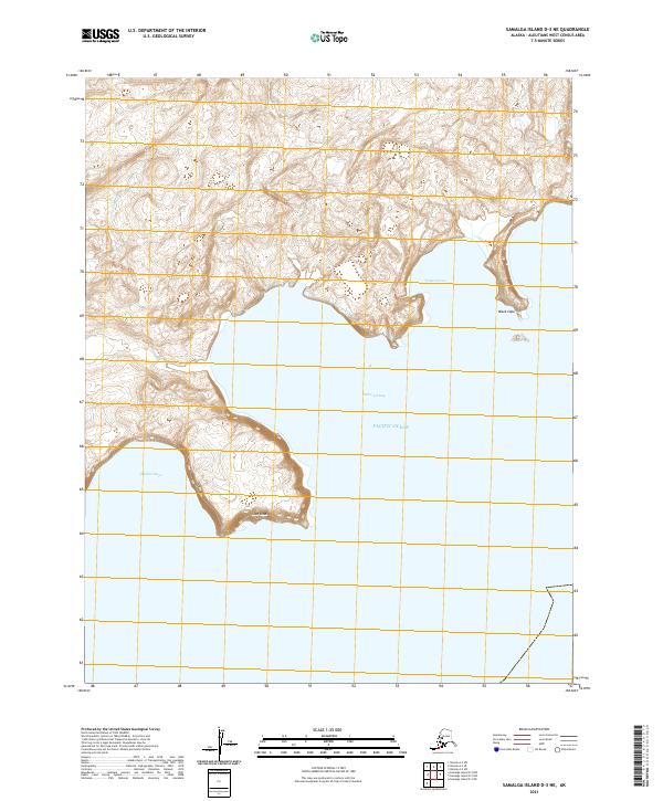
2021 · Samalga Island D-3 NE
USGS Topo · 1:25,000
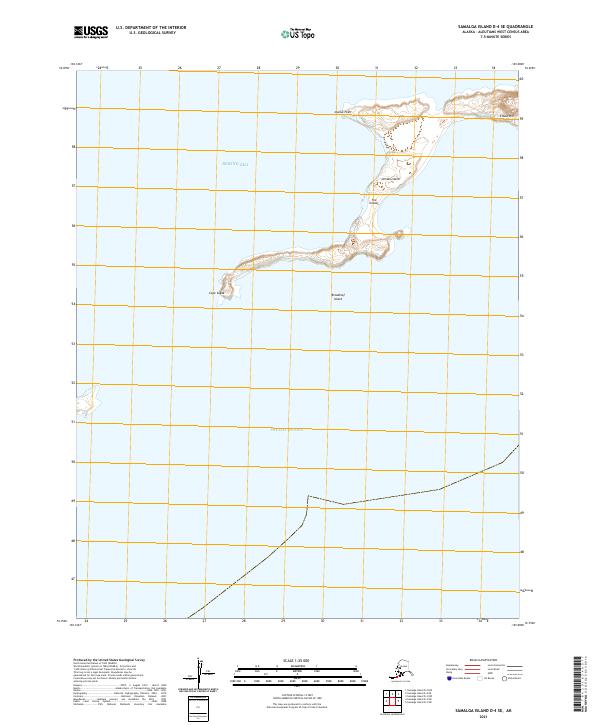
2021 · Samalga Island D-4 SE
USGS Topo · 1:25,000
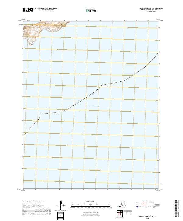
2021 · Samalga Island D-3 SW
USGS Topo · 1:25,000
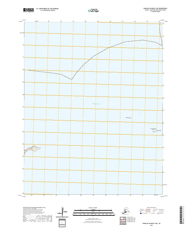
2021 · Samalga Island D-4 NE
USGS Topo · 1:25,000
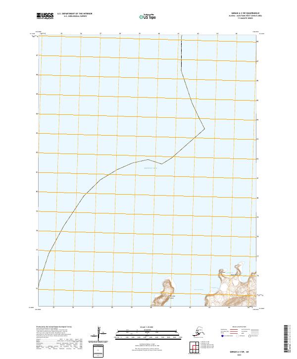
2021 · Umnak A-3 SW
USGS Topo · 1:25,000
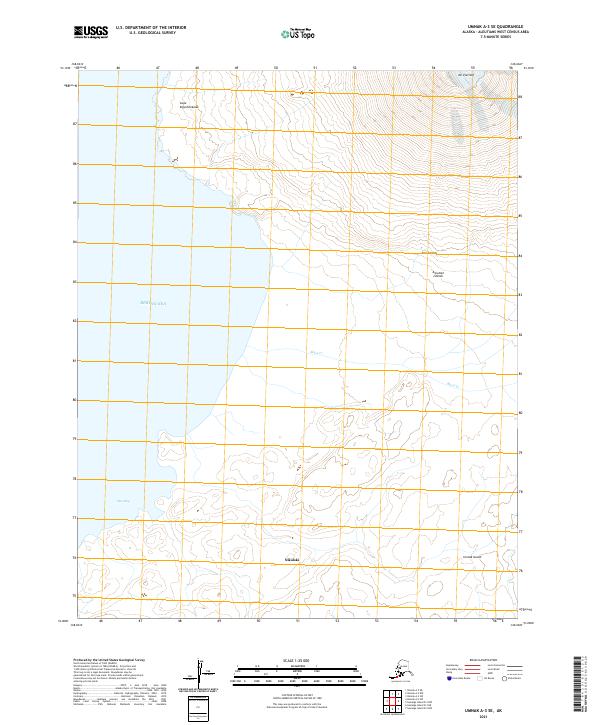
2021 · Umnak A-3 SE
USGS Topo · 1:25,000