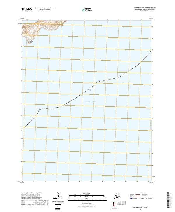
2021 Map of Samalga Island D-3 SW
USGS Topo · Published 2021About this map
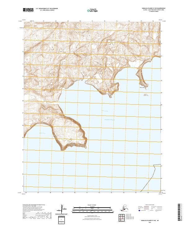
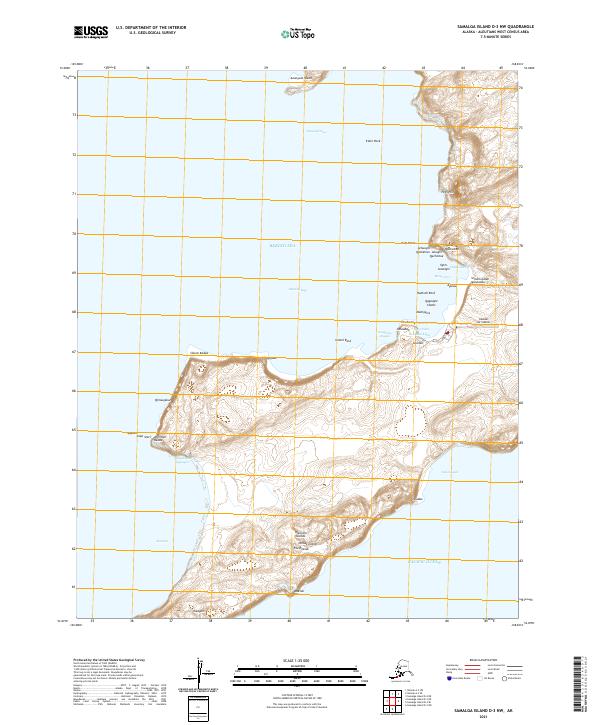
Misis Naga and the coastline of Chungsun Idaluu define the northern edge of this maritime quadrangle in the Aleutians West region. As a 2021 survey, the map focuses primarily on the open expanse of the Pacific Ocean, providing a precise modern record of the island's coastal interface and the surrounding marine environment. The inland terrain is characterized by the landmass at Chungsun Idaluu, while the vast majority of the sheet is dedicated to the sea, illustrating the remote and isolated nature of the island chain. This record is essential for understanding the contemporary geography of these outlying Alaskan territories, where the intersection of land and water is the primary geographic feature.
Find a feature on this map
6 named features on this map. Tap any name to fly to it.
Don’t see what you’re looking for? This feature index may not catch every label — zoom into the map to look around manually.
Map Details
Editions of this 2021 Samalga Island D-3 SW Map
This is the sole edition of this map. No revisions or reprints were ever made.