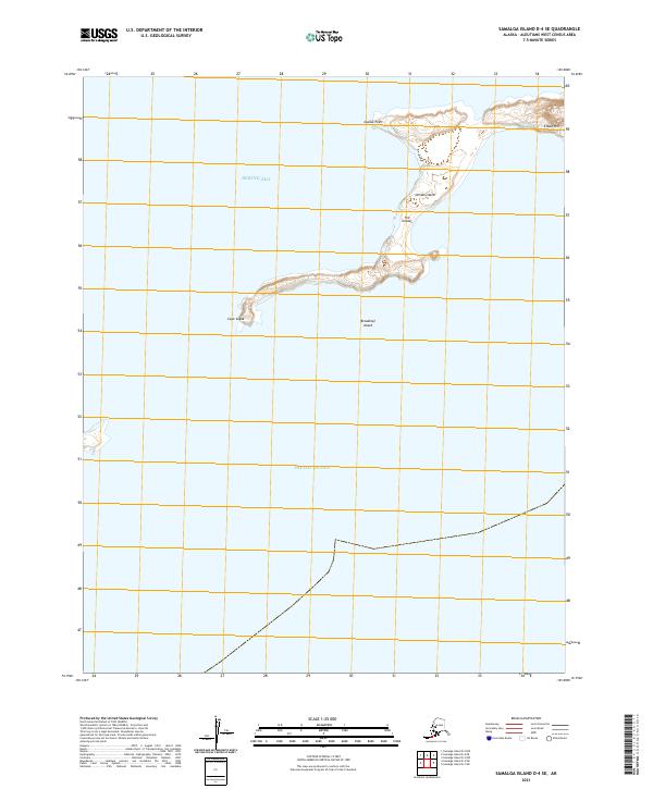
2021 Map of Samalga Island D-4 SE
USGS Topo · Published 2021About this map
Umnak Island stretches across the northern portion of this 2021 survey, marking a significant landmass within the Fox Islands chain. This maritime environment is defined by the boundary between the Bering Sea to the north and the Pacific Ocean to the south. The western tip of the island is anchored by Cape Sagak, while the northern coastline features the prominent Idaliuk Point. Just offshore, the smaller Breadloaf Island sits isolated in the open water.
Find a feature on this map
12 named features on this map. Tap any name to fly to it.
Don’t see what you’re looking for? This feature index may not catch every label — zoom into the map to look around manually.
Map Details
Editions of this 2021 Samalga Island D-4 SE Map
This is the sole edition of this map. No revisions or reprints were ever made.
Other maps of this area

1951 · Samalga Island
USGS Topo · 1:250,000

1958 · Samalga Island
USGS Topo · 1:250,000
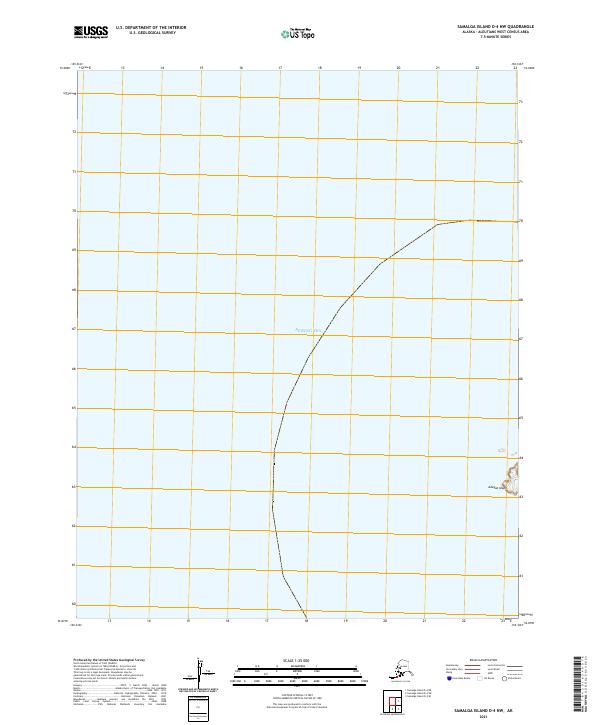
2021 · Samalga Island D-4 NW
USGS Topo · 1:25,000
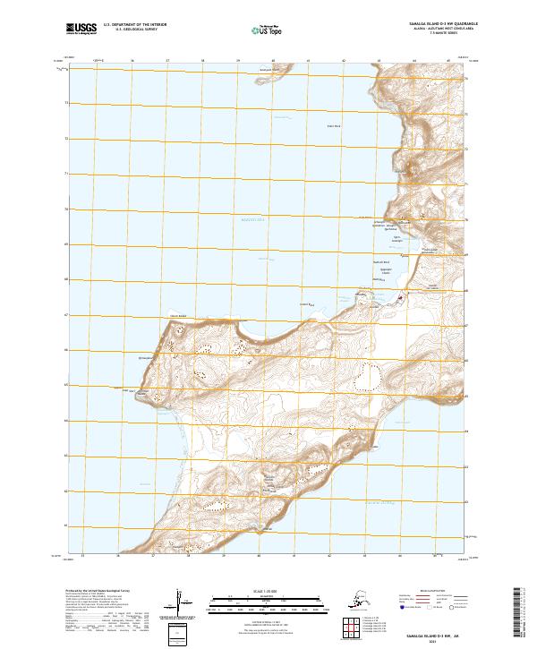
2021 · Samalga Island D-3 NW
USGS Topo · 1:25,000
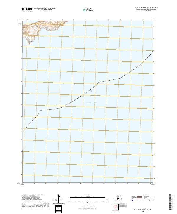
2021 · Samalga Island D-3 SW
USGS Topo · 1:25,000
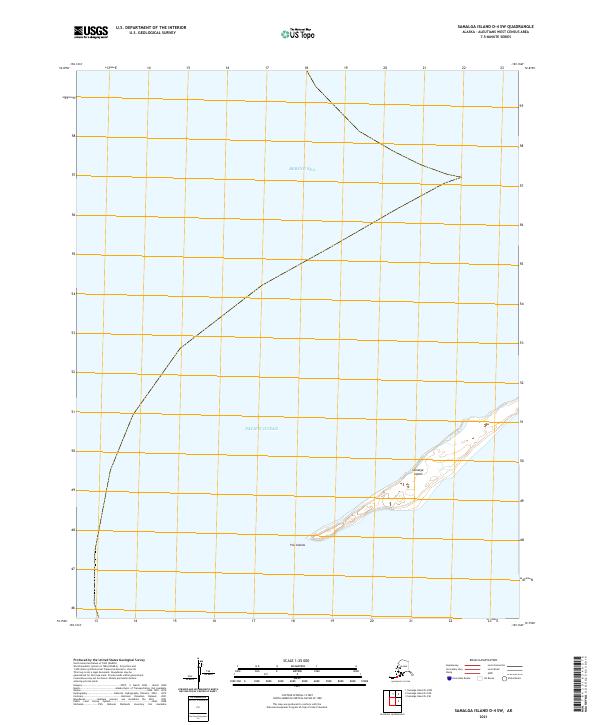
2021 · Samalga Island D-4 SW
USGS Topo · 1:25,000
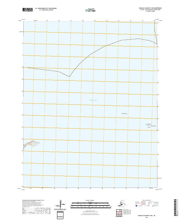
2021 · Samalga Island D-4 NE
USGS Topo · 1:25,000