2021 Map of Samalga Island D-4 SW
USGS Topo · Published 2021About this map
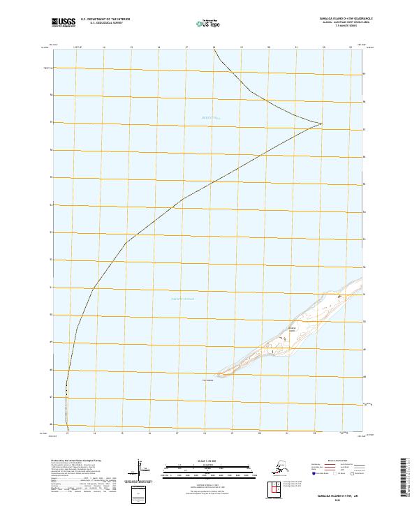
Samalga Island sits at the southwestern edge of the Fox Islands chain, marking a significant geographic boundary where the Bering Sea and the Pacific Ocean meet. This maritime environment is defined by its isolation and the narrow landform of the island itself, which stretches across the lower portion of the map. Surveyed in 2021, the map provides precise data on the island's low-lying coastal features and internal wetlands, highlighting the delicate balance of this Aleutian landscape. The intersection of major oceanic bodies here influences the local hydrography, creating a specialized study area for those interested in the remote western reaches of Alaska's maritime borders.
Find a feature on this map
7 named features on this map. Tap any name to fly to it.
Don’t see what you’re looking for? This feature index may not catch every label — zoom into the map to look around manually.
Map Details
Editions of this 2021 Samalga Island D-4 SW Map
This is the sole edition of this map. No revisions or reprints were ever made.