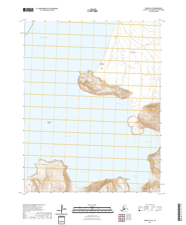
2021 Map of Umnak B-2 SE
USGS Topo · Published 2021About this map
Umnak Island's western coastline meets the Bering Sea in this topographic study, revealing a landscape defined by deep coves and sharp volcanic headlands. The map documents several named indentations along the coast, most notably Cemetery Cove and Hot Springs Cove, which suggest historic human activity or geothermal features in this maritime environment. High-relief features such as Cape Kigunak and the prominent Steeple Point overlook the complex shoreline of Inanudak Bay. This 2021 survey also records indigenous place names like Qigunam-tugumaga and Qmalgaagus Kadaa, providing essential data for those studying the linguistic and geographic history of the Aleutian archipelago. The offshore bathymetry is signaled by the Inanudak Canyon, illustrating the dramatic undersea drop-offs characteristic of the region.
Find a feature on this map
20 named features on this map. Tap any name to fly to it.
Don’t see what you’re looking for? This feature index may not catch every label — zoom into the map to look around manually.
Map Details
Editions of this 2021 Umnak B-2 SE Map
This is the sole edition of this map. No revisions or reprints were ever made.
Other maps of this area

1951 · Umnak
USGS Topo · 1:250,000

1958 · Umnak
USGS Topo · 1:250,000
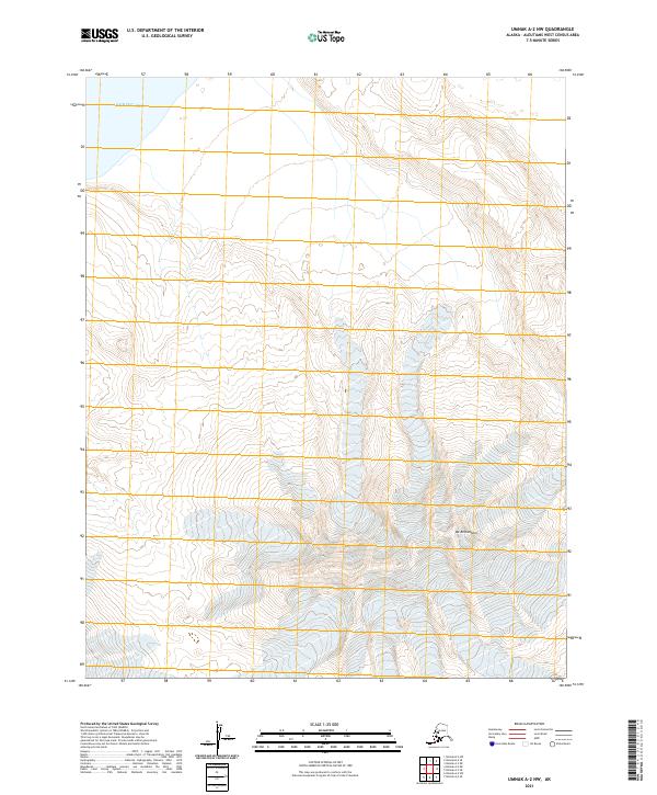
2021 · Umnak A-2 NW
USGS Topo · 1:25,000
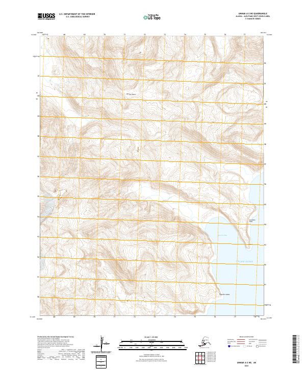
2021 · Umnak A-2 NE
USGS Topo · 1:25,000
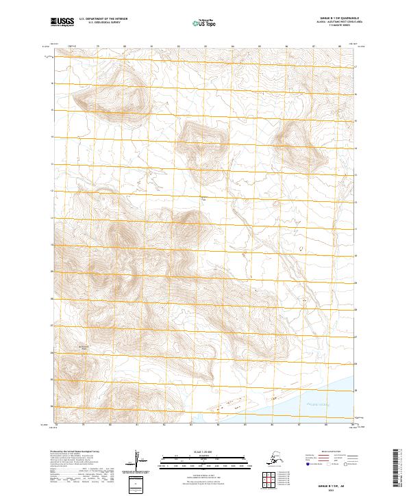
2021 · Umnak B-1 SW
USGS Topo · 1:25,000
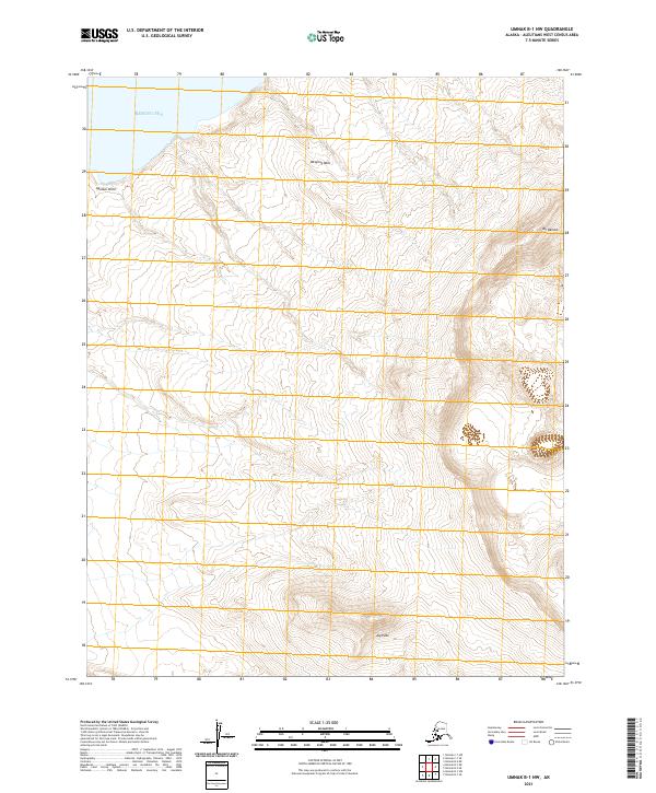
2021 · Umnak B-1 NW
USGS Topo · 1:25,000
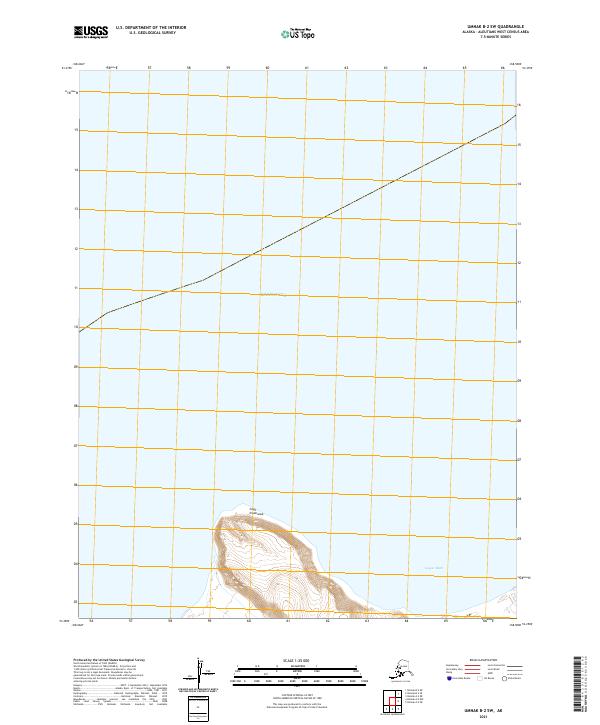
2021 · Umnak B-2 SW
USGS Topo · 1:25,000
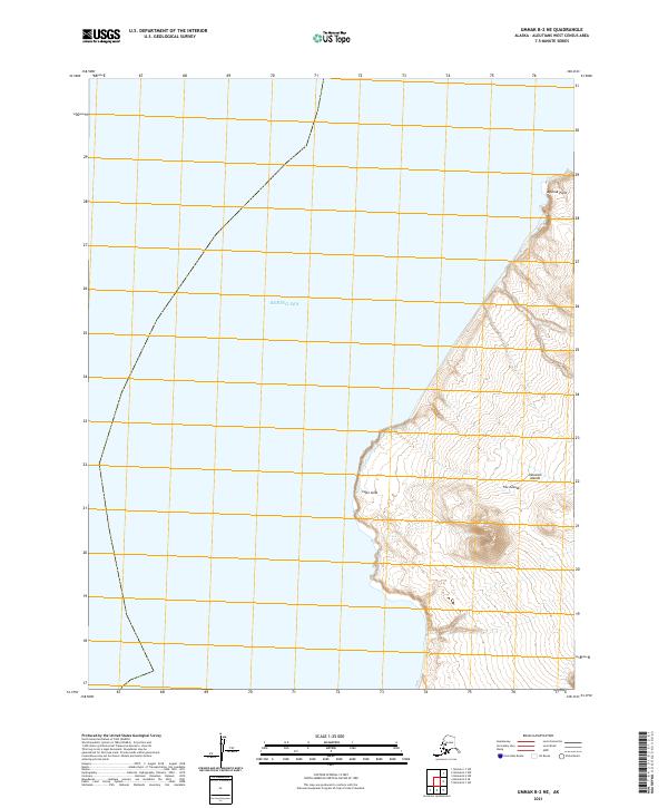
2021 · Umnak B-2 NE
USGS Topo · 1:25,000
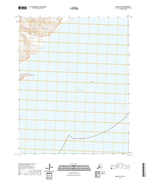
2021 · Umnak A-1 NW
USGS Topo · 1:25,000