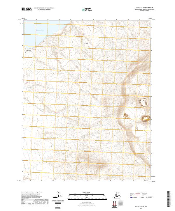
2021 Map of Umnak B-1 NW
USGS Topo · Published 2021About this map
Mt Okmok and the surrounding volcanic terrain dominate this portion of Umnak Island, where the landscape is defined by dramatic elevation changes and geological formations. Along the northwestern coastline, Aguliuk Point reaches into the Bering Sea, marking a rugged intersection of land and water. The map captures a wilderness area largely devoid of modern infrastructure, focusing instead on natural landmarks like Jag Peak and the evocative Weeping Wall. This survey provides a precise modern record of the island's topographic character, illustrating the steep ridges and drainage patterns that characterize this remote section of the Aleutians West Census Area.
Find a feature on this map
9 named features on this map. Tap any name to fly to it.
Don’t see what you’re looking for? This feature index may not catch every label — zoom into the map to look around manually.
Map Details
Editions of this 2021 Umnak B-1 NW Map
This is the sole edition of this map. No revisions or reprints were ever made.
Other maps of this area

1951 · Umnak
USGS Topo · 1:250,000

1958 · Umnak
USGS Topo · 1:250,000
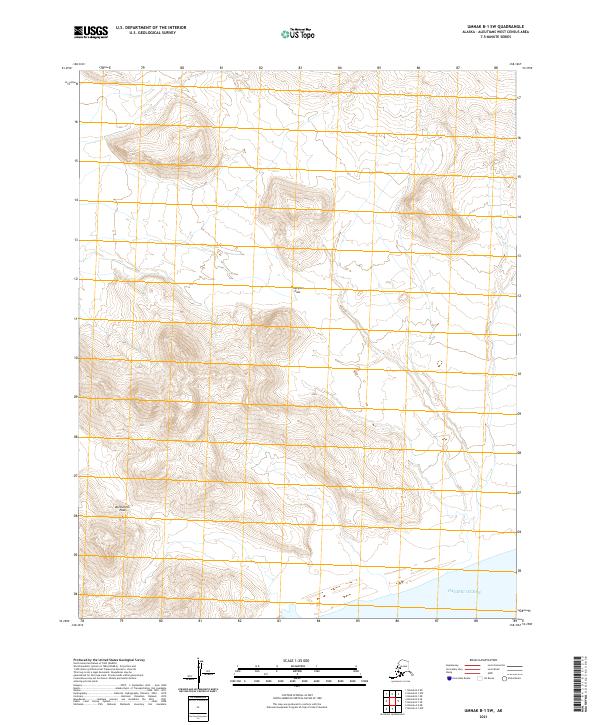
2021 · Umnak B-1 SW
USGS Topo · 1:25,000
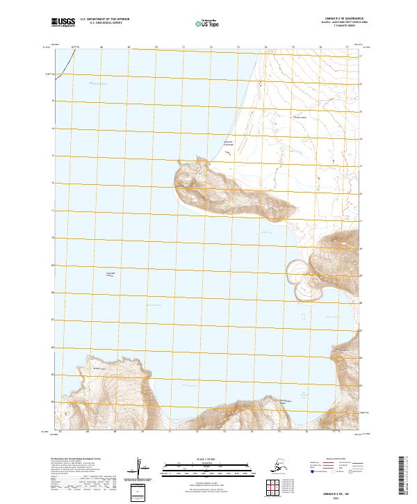
2021 · Umnak B-2 SE
USGS Topo · 1:25,000
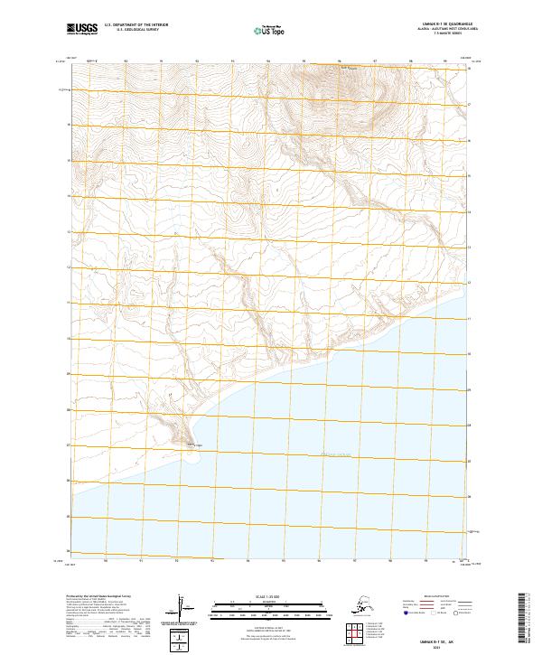
2021 · Umnak B-1 SE
USGS Topo · 1:25,000
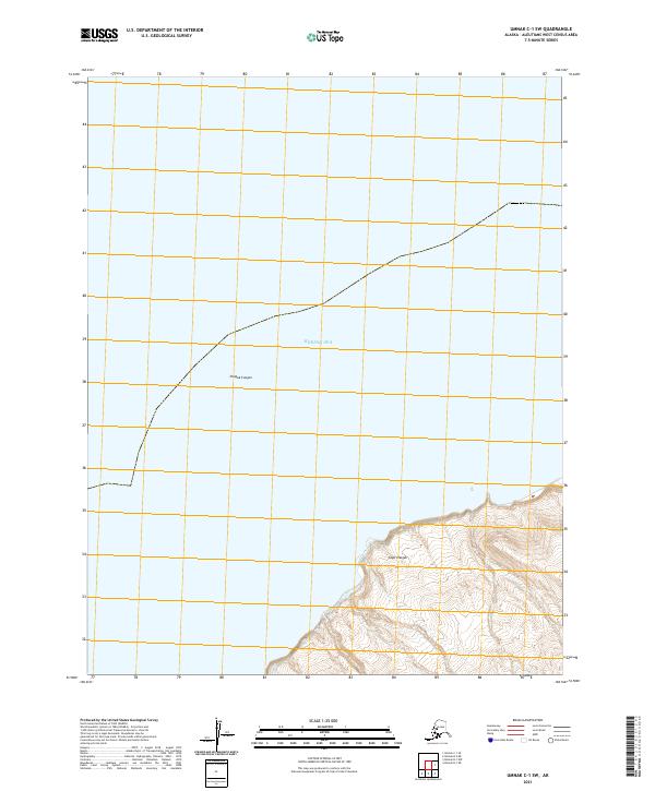
2021 · Umnak C-1 SW
USGS Topo · 1:25,000
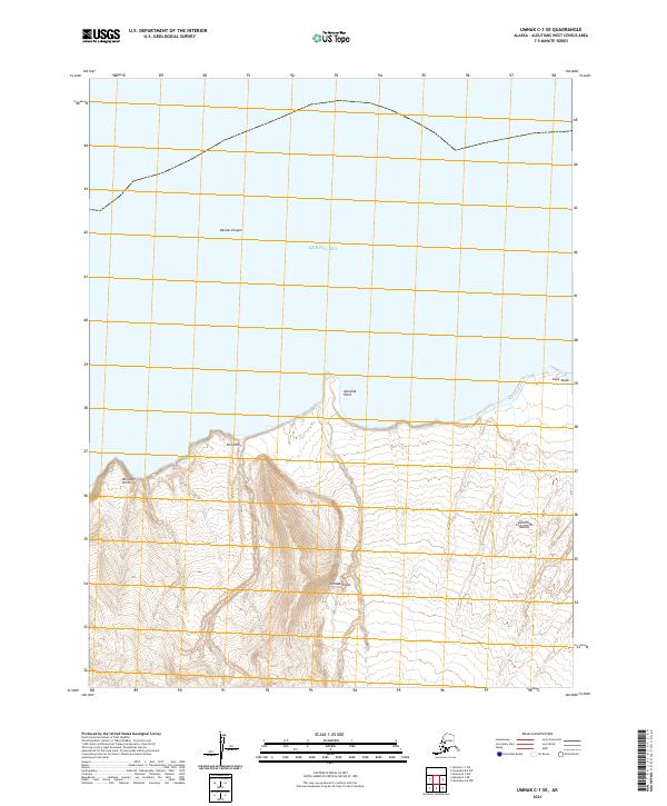
2021 · Umnak C-1 SE
USGS Topo · 1:25,000
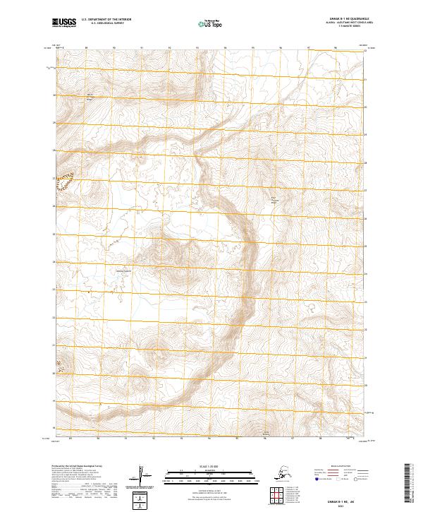
2021 · Umnak B-1 NE
USGS Topo · 1:25,000
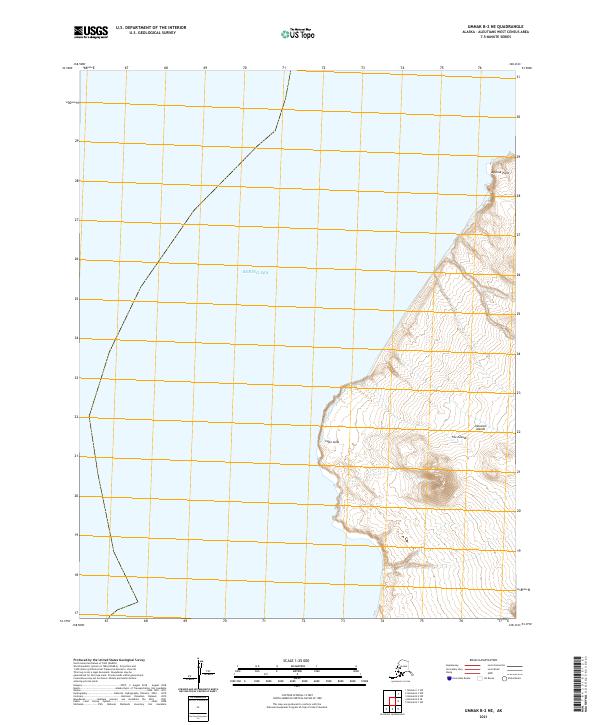
2021 · Umnak B-2 NE
USGS Topo · 1:25,000