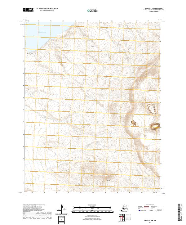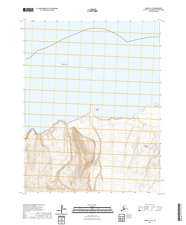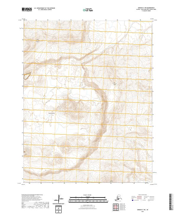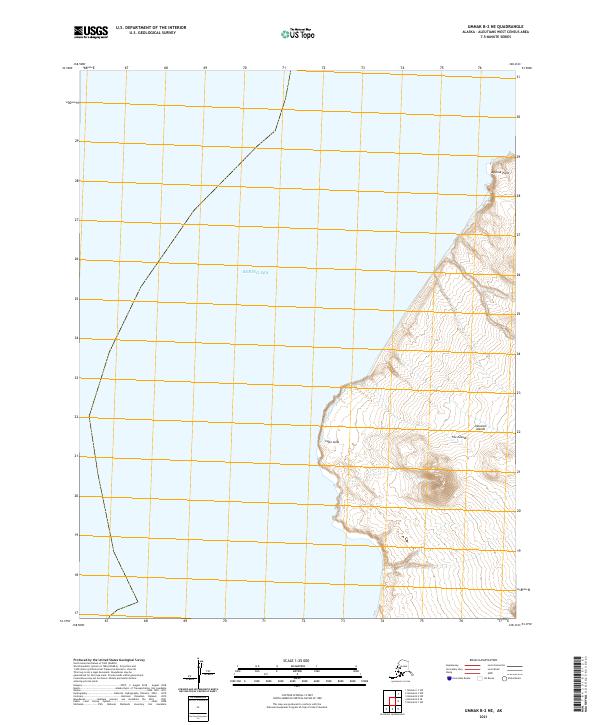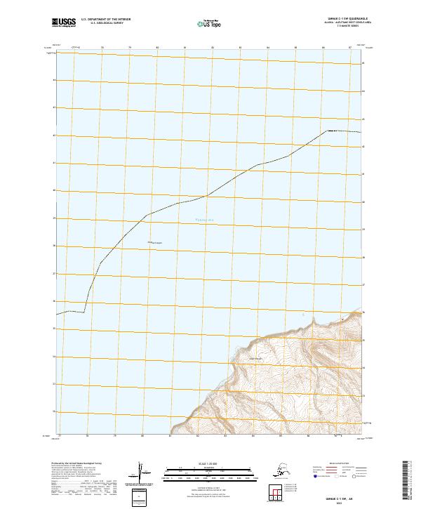
2021 Map of Umnak C-1 SW
USGS Topo · Published 2021About this map
Cape Chagak stands as the primary landform on this coastal map of the Aleutian Islands, where the island's steep slopes meet the Bering Sea. The landscape is dominated by complex bathymetry and rugged elevation changes, exemplified by the submarine depths of Chagak Canyon just off the northern shore. This 2021 survey by the U.S. Geological Survey details a remote maritime environment defined by its lack of human infrastructure, focusing instead on the intersection of topography and oceanic features. The transition from the high-relief headlands to the deep-water canyon highlights the dynamic geological character of the Aleutian West region.
Find a feature on this map
6 named features on this map. Tap any name to fly to it.
Don’t see what you’re looking for? This feature index may not catch every label — zoom into the map to look around manually.
Map Details
Editions of this 2021 Umnak C-1 SW Map
This is the sole edition of this map. No revisions or reprints were ever made.