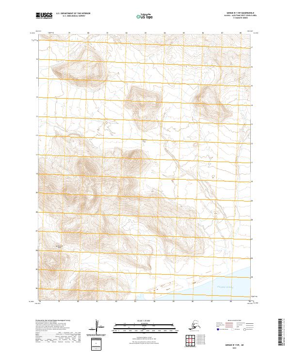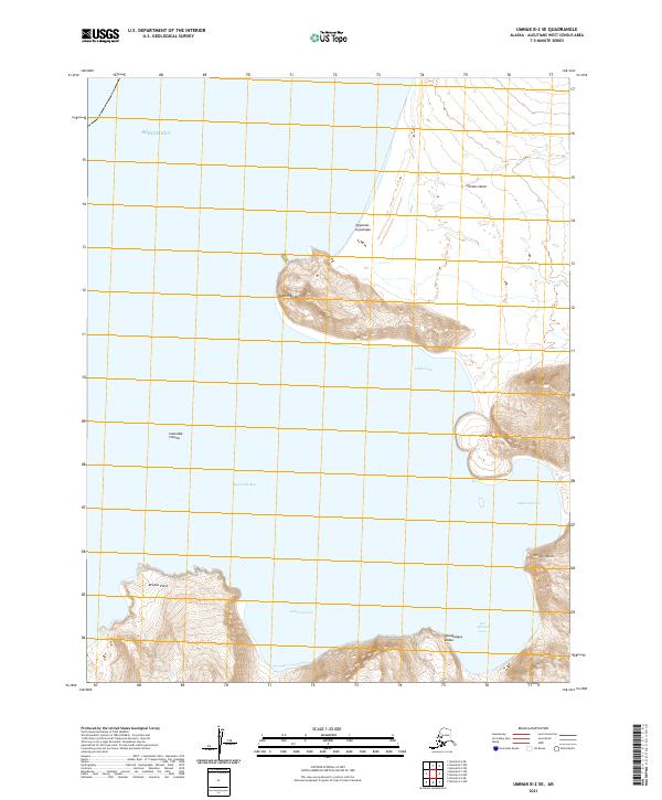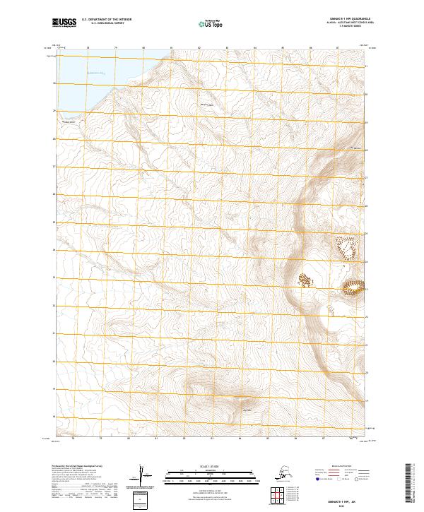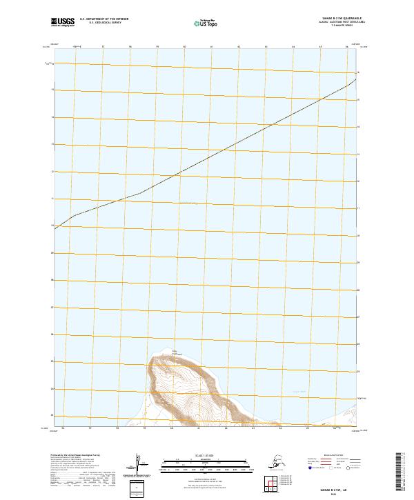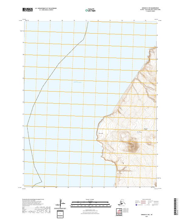
2021 Map of Umnak B-2 NE
USGS Topo · Published 2021About this map
Cape Aslik and Aguliuk Point define the rugged coastline of this 2021 survey, which captures the remote intersection of the Bering Sea and the northern reaches of the Fox Islands. This portion of the Aleutian Islands chain is characterized by steep coastal elevations and maritime boundaries, specifically those within Township 77 and 78 South. The topography reveals the dramatic vertical rise from the sea to the high ridgelines of the interior, illustrating the uninhabited and primary nature of this volcanic island landscape. Data provided by the U.S. Geological Survey details the hydrography and shoreline features that are critical for maritime navigation and environmental study in this isolated region of the Aleutians West Census Area.
Find a feature on this map
8 named features on this map. Tap any name to fly to it.
Don’t see what you’re looking for? This feature index may not catch every label — zoom into the map to look around manually.
Map Details
Editions of this 2021 Umnak B-2 NE Map
This is the sole edition of this map. No revisions or reprints were ever made.