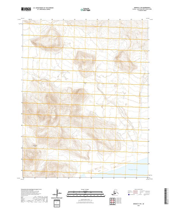
2021 Map of Umnak B-1 SW
USGS Topo · Published 2021About this map
Hourglass Pass and Bottleneck Pass define the high-altitude crossings of this volcanic island landscape in the Aleutians West. The terrain is marked by steep elevation changes, with the land eventually descending south toward the vast shoreline of the Pacific Ocean. This 2021 survey illustrates the topographical complexity of Umnak Island, where the narrow corridors of these passes serve as the primary natural landmarks across the interior. While the map is devoid of human settlements or infrastructure, the naming of these specific mountain gaps suggests their importance for navigation through the island's interior ranges.
Find a feature on this map
9 named features on this map. Tap any name to fly to it.
Don’t see what you’re looking for? This feature index may not catch every label — zoom into the map to look around manually.
Map Details
Editions of this 2021 Umnak B-1 SW Map
This is the sole edition of this map. No revisions or reprints were ever made.
Other maps of this area

1951 · Umnak
USGS Topo · 1:250,000

1958 · Umnak
USGS Topo · 1:250,000
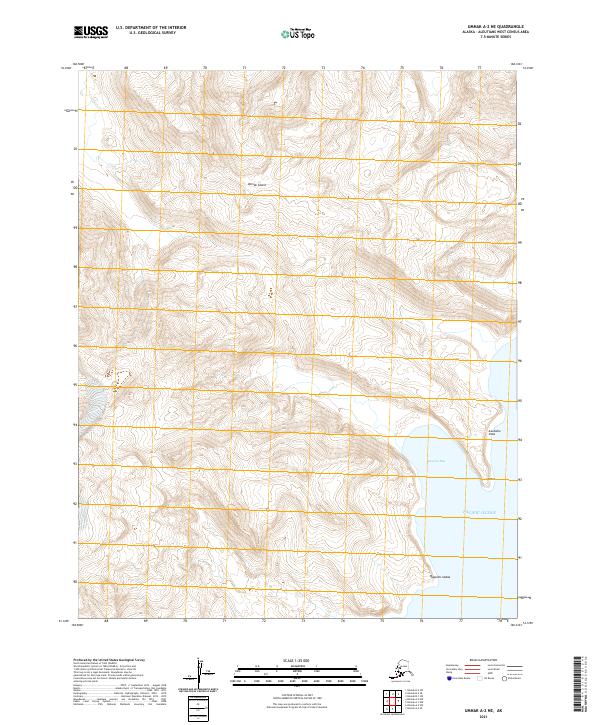
2021 · Umnak A-2 NE
USGS Topo · 1:25,000
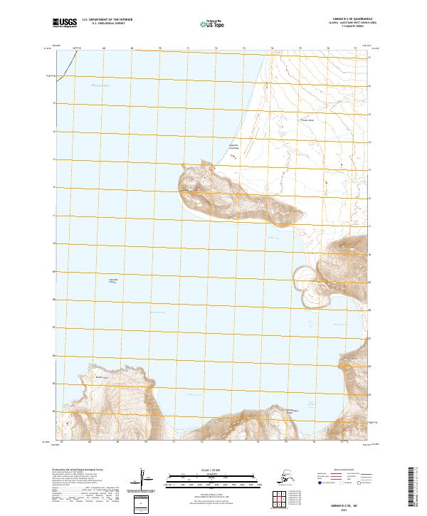
2021 · Umnak B-2 SE
USGS Topo · 1:25,000
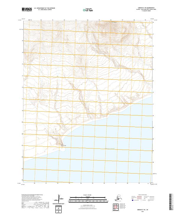
2021 · Umnak B-1 SE
USGS Topo · 1:25,000
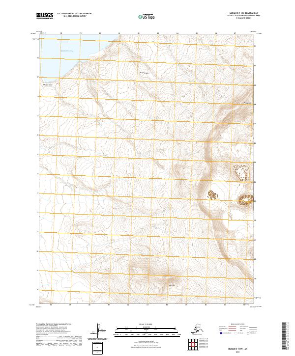
2021 · Umnak B-1 NW
USGS Topo · 1:25,000
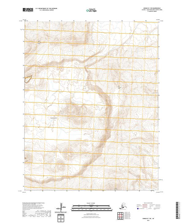
2021 · Umnak B-1 NE
USGS Topo · 1:25,000
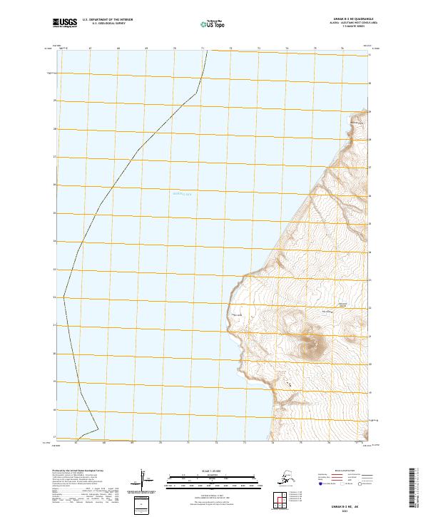
2021 · Umnak B-2 NE
USGS Topo · 1:25,000
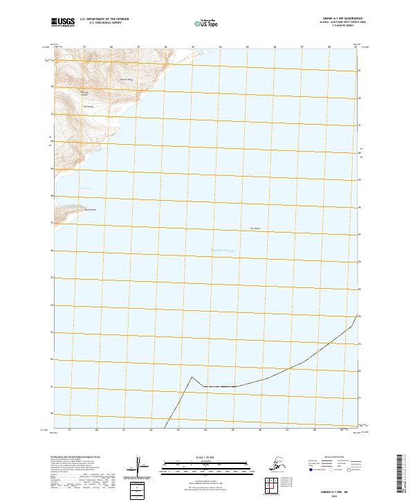
2021 · Umnak A-1 NW
USGS Topo · 1:25,000