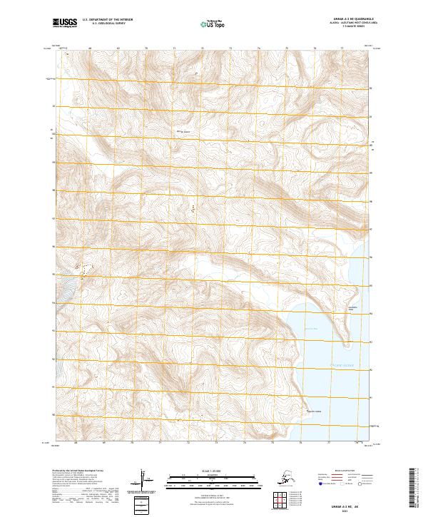
2021 Map of Umnak A-2 NE
USGS Topo · Published 2021About this map
Umnak Island dominates this 2021 study, showcasing the complex topography of the Aleutian chain where volcanic slopes meet the Pacific Ocean. This section of the island is characterized by significant coastal features and elevation changes, including the notable prominence of Asudakix Sitxa and Igudax. The coastline is deeply indented by Russian Bay, providing a natural harbor-like feature along the eastern shore. Further south, the terrain extends toward Qagalim-kadaa, illustrating the native nomenclature preserved in modern cartography. The map provides a detailed view of the uninhabited, maritime landscape before the influence of modern infrastructure, focusing entirely on the natural landforms and the surrounding sea.
Find a feature on this map
10 named features on this map. Tap any name to fly to it.
Don’t see what you’re looking for? This feature index may not catch every label — zoom into the map to look around manually.
Map Details
Editions of this 2021 Umnak A-2 NE Map
This is the sole edition of this map. No revisions or reprints were ever made.
Other maps of this area

1951 · Umnak
USGS Topo · 1:250,000

1958 · Umnak
USGS Topo · 1:250,000
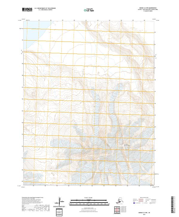
2021 · Umnak A-2 NW
USGS Topo · 1:25,000
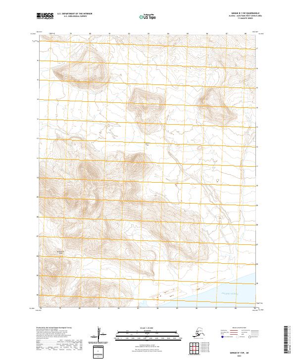
2021 · Umnak B-1 SW
USGS Topo · 1:25,000
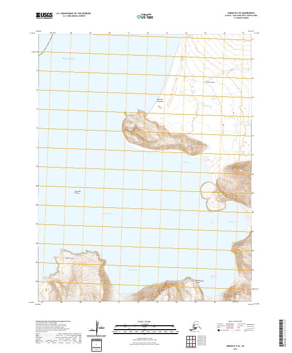
2021 · Umnak B-2 SE
USGS Topo · 1:25,000
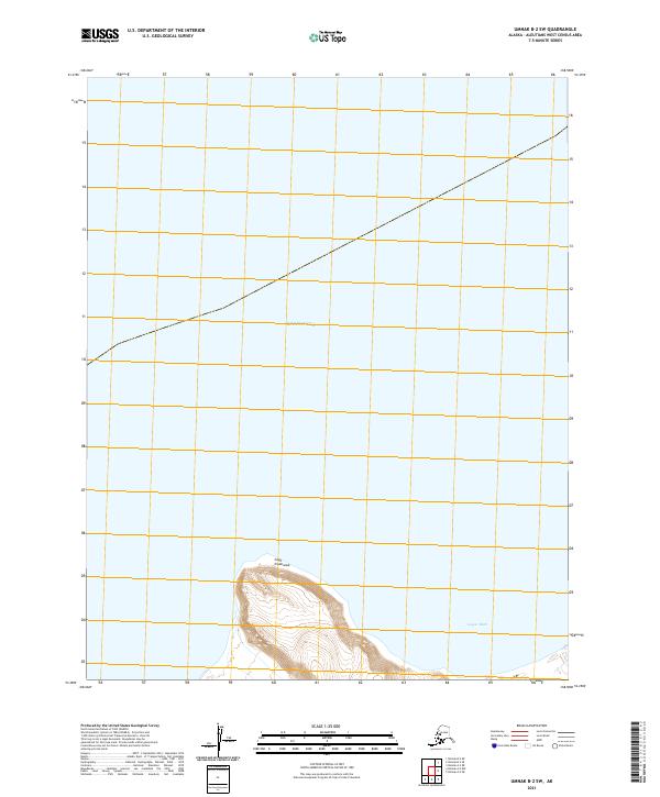
2021 · Umnak B-2 SW
USGS Topo · 1:25,000
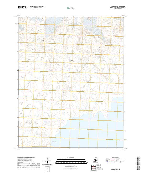
2021 · Umnak A-2 SW
USGS Topo · 1:25,000
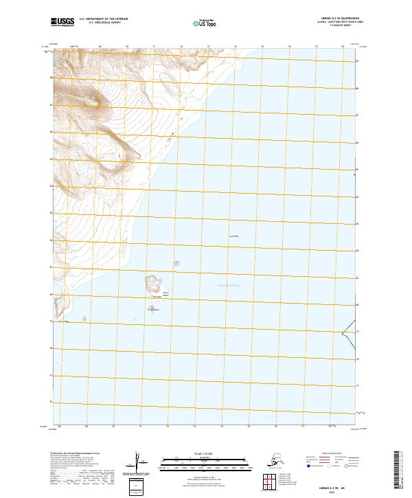
2021 · Umnak A-2 SE
USGS Topo · 1:25,000
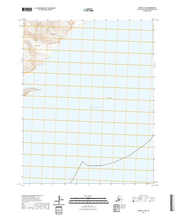
2021 · Umnak A-1 NW
USGS Topo · 1:25,000