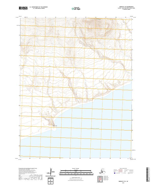
2021 Map of Umnak B-1 SE
USGS Topo · Published 2021About this map
Tulik Volcano dominates the northern reaches of this coastal landscape on Umnak Island, where steep volcanic slopes descend toward the southern shoreline. This remote portion of the Aleutian chain is defined by its dramatic relief, with contour lines indicating a sharp rise from sea level into the high altitudes of the volcanic peak. Along the southern coast, the shoreline is punctuated by Kettle Cape, a prominent landform jutting into the Pacific Ocean. The lack of man-made infrastructure, such as roads or settlements, underscores the untouched nature of this subarctic environment, leaving only the primary geological features and maritime boundaries as the defining characteristics of the territory.
Find a feature on this map
8 named features on this map. Tap any name to fly to it.
Don’t see what you’re looking for? This feature index may not catch every label — zoom into the map to look around manually.
Map Details
Editions of this 2021 Umnak B-1 SE Map
This is the sole edition of this map. No revisions or reprints were ever made.
Other maps of this area

1951 · Unalaska
USGS Topo · 1:250,000

1951 · Umnak
USGS Topo · 1:250,000

1958 · Umnak
USGS Topo · 1:250,000
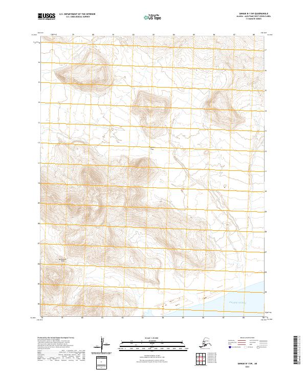
2021 · Umnak B-1 SW
USGS Topo · 1:25,000
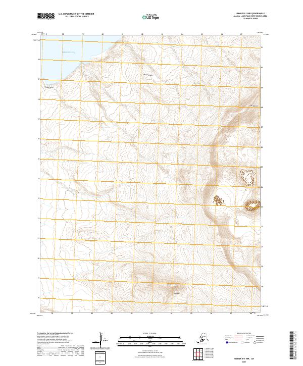
2021 · Umnak B-1 NW
USGS Topo · 1:25,000
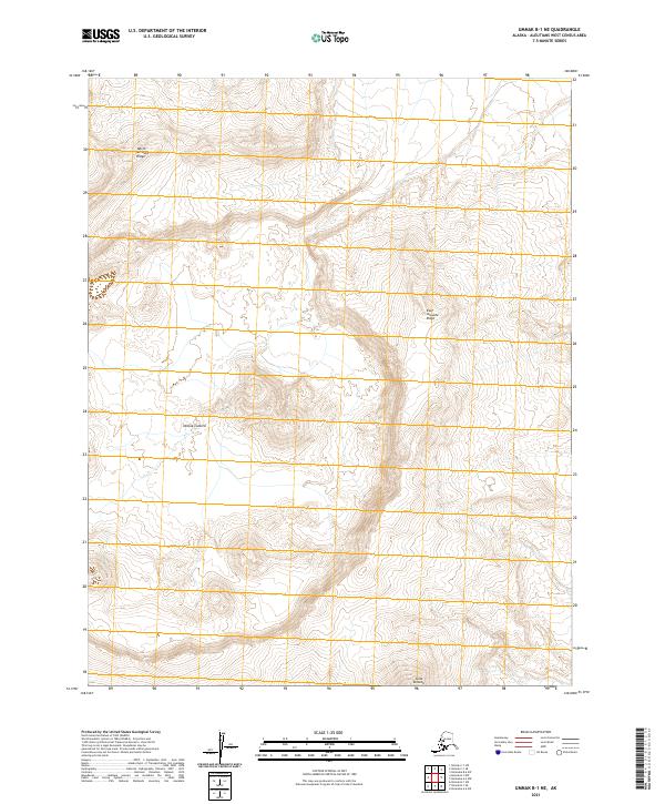
2021 · Umnak B-1 NE
USGS Topo · 1:25,000
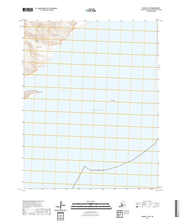
2021 · Umnak A-1 NW
USGS Topo · 1:25,000
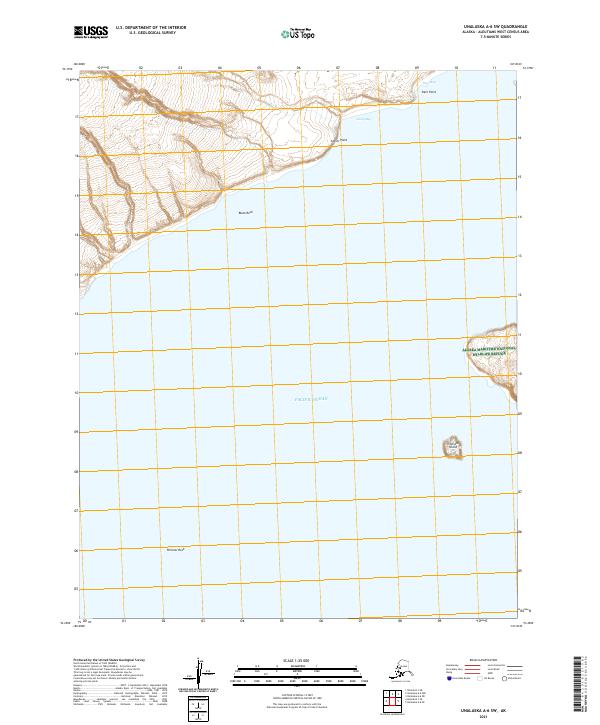
2021 · Unalaska A-6 SW
USGS Topo · 1:25,000
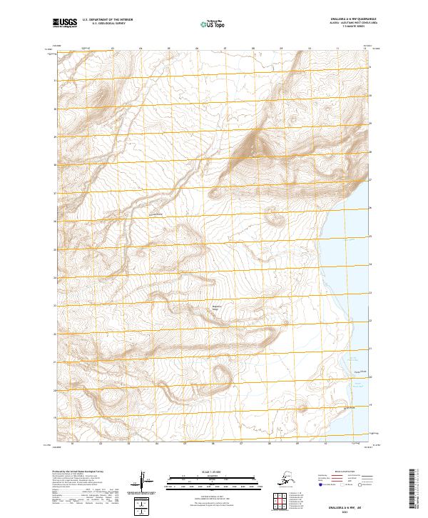
2021 · Unalaska A-6 NW
USGS Topo · 1:25,000