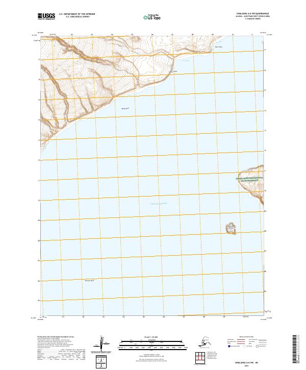
2021 Map of Unalaska A-6 SW
USGS Topo · Published 2021About this map
Pacific Ocean swells meet the western edge of Unalaska Island in this 2021 study, revealing a coastal landscape defined by sharp headlands and outlying maritime hazards. Along the northern coast, the topography drops sharply toward Deer Bay and Camp Bay, separated by the prominent Antler Point and Deer Point. These features are indicative of the complex shoreline navigation that has historically characterized the Aleutians West area.
Find a feature on this map
14 named features on this map. Tap any name to fly to it.
Don’t see what you’re looking for? This feature index may not catch every label — zoom into the map to look around manually.
Map Details
Editions of this 2021 Unalaska A-6 SW Map
This is the sole edition of this map. No revisions or reprints were ever made.
Other maps of this area

1951 · Unalaska
USGS Topo · 1:250,000

1951 · Umnak
USGS Topo · 1:250,000

1958 · Umnak
USGS Topo · 1:250,000
2021 · Umnak B-1 SE
USGS Topo · 1:25,000
2021 · Umnak B-1 NE
USGS Topo · 1:25,000
2021 · Unalaska A-6 SE
USGS Topo · 1:25,000
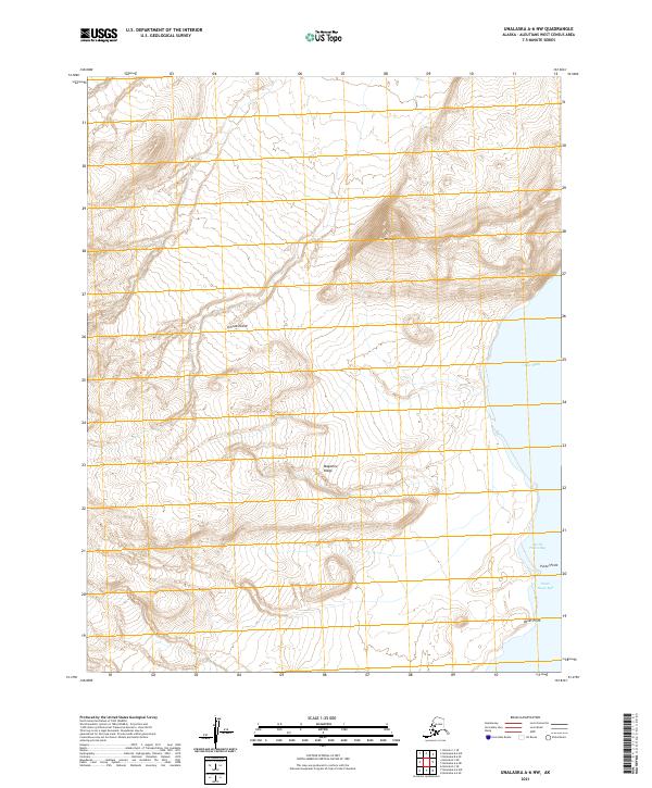
2021 · Unalaska A-6 NW
USGS Topo · 1:25,000
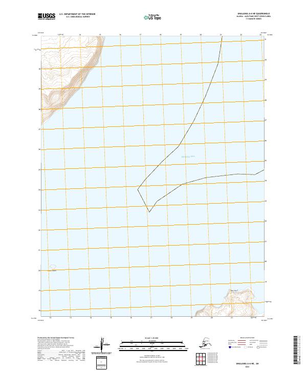
2021 · Unalaska A-6 NE
USGS Topo · 1:25,000