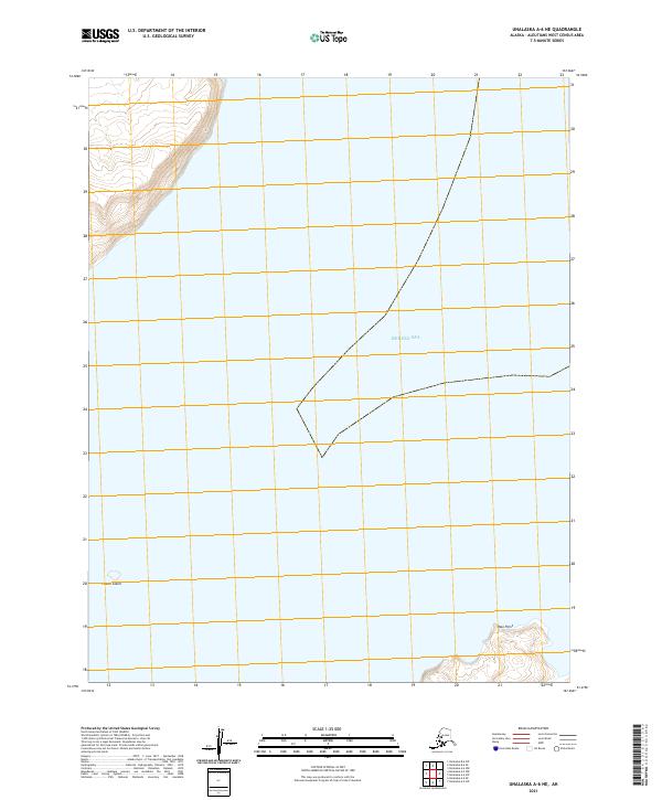
2021 Map of Unalaska A-6 NE
USGS Topo · Published 2021About this map
Bering Sea waters dominate this remote maritime landscape in the Aleutians West area. The survey highlights the isolated landforms that define this stretch of the Alaskan coastline, including the small outcrop of Pistol Island in the west and the coastal projection of Paso Point in the southeast. These features are documented alongside the Public Land Survey System grids for Townships 77 and 78 South, illustrating the systematic mapping of the Aleutian chain. The terrain detail reveals the stark elevation changes at the water's edge, providing a precise record of the shoreline and its nautical landmarks for maritime historians and coastal researchers.
Find a feature on this map
7 named features on this map. Tap any name to fly to it.
Don’t see what you’re looking for? This feature index may not catch every label — zoom into the map to look around manually.
Map Details
Editions of this 2021 Unalaska A-6 NE Map
This is the sole edition of this map. No revisions or reprints were ever made.
Other maps of this area

1951 · Unalaska
USGS Topo · 1:250,000

1989 · Unalaska A-5
USGS Topo · 1:63,360
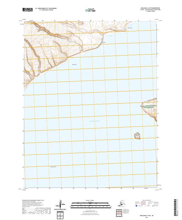
2021 · Unalaska A-6 SW
USGS Topo · 1:25,000
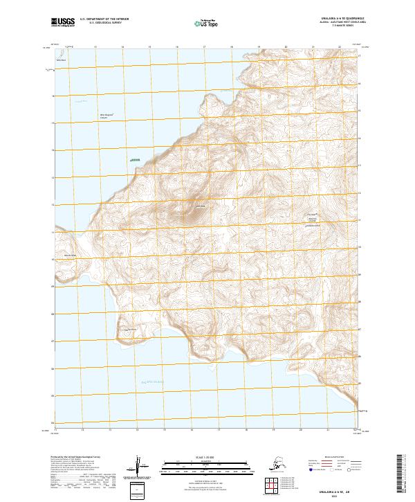
2021 · Unalaska A-6 SE
USGS Topo · 1:25,000
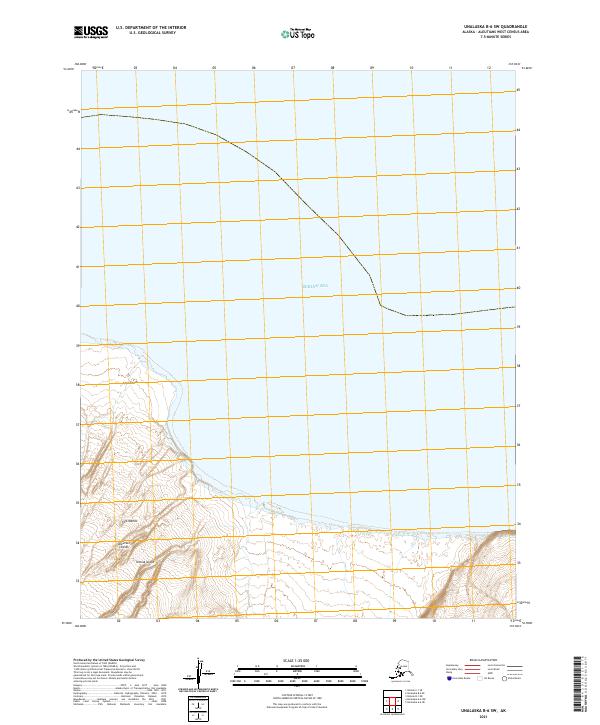
2021 · Unalaska B-6 SW
USGS Topo · 1:25,000
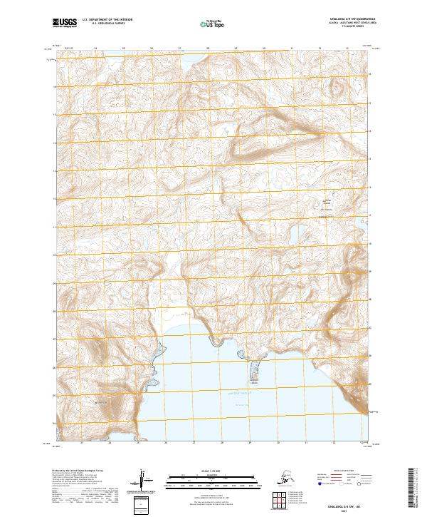
2021 · Unalaska A-5 SW
USGS Topo · 1:25,000
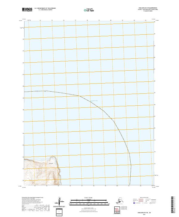
2021 · Unalaska B-6 SE
USGS Topo · 1:25,000
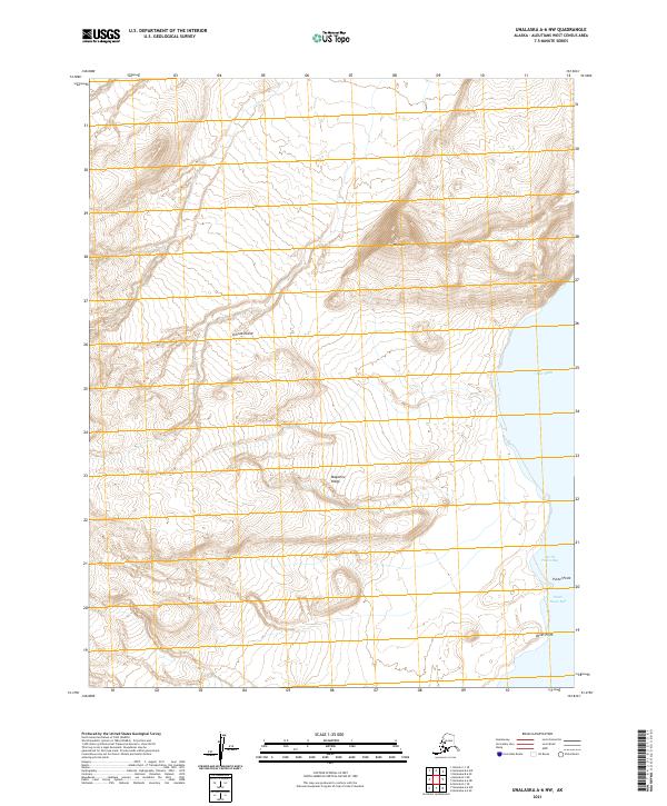
2021 · Unalaska A-6 NW
USGS Topo · 1:25,000
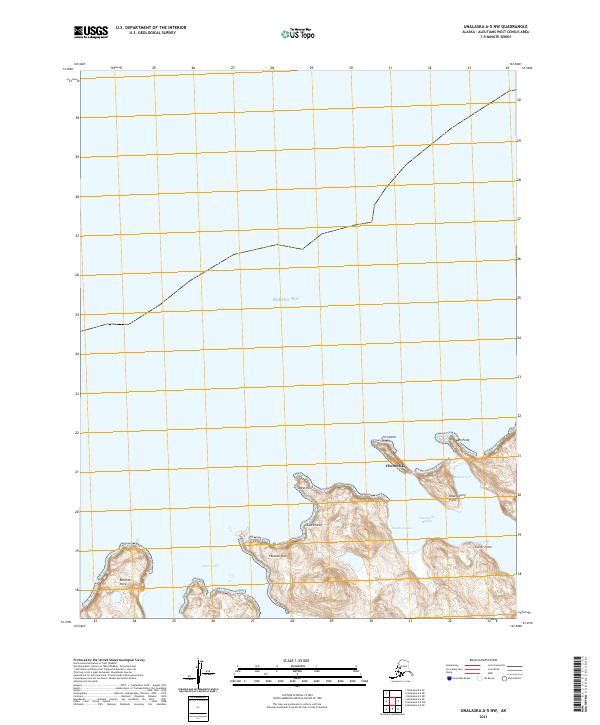
2021 · Unalaska A-5 NW
USGS Topo · 1:25,000