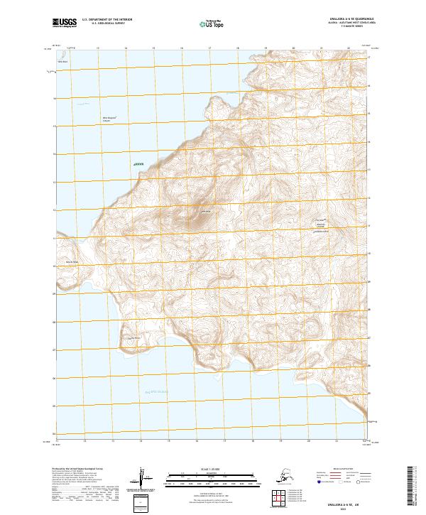
2021 Map of Unalaska A-6 SE
USGS Topo · Published 2021About this map
Lone Peak dominates the interior of this coastal terrain on Unalaska Island, a landscape shaped by extreme maritime geography. This 2021 survey details the southwestern reaches of the island where the land meets the Pacific Ocean at sharp coastal projections like Konets Head and Tiderip Point. To the north, the waters of Umnak Pass and Boulder Bay are marked by significant submarine features such as the West Bogoslof Canyon and the isolated Ship Rock islet. Large portions of this territory fall within the Alaska Maritime National Wildlife Refuge, indicating a protected wilderness character defined by its isolation and lack of established road networks. The intricate contour lines reveal the steep elevation gains characteristic of the Aleutian Chain's volcanic topography.
Find a feature on this map
16 named features on this map. Tap any name to fly to it.
Don’t see what you’re looking for? This feature index may not catch every label — zoom into the map to look around manually.
Map Details
Editions of this 2021 Unalaska A-6 SE Map
This is the sole edition of this map. No revisions or reprints were ever made.
Other maps of this area

1951 · Unalaska
USGS Topo · 1:250,000

1989 · Unalaska A-5
USGS Topo · 1:63,360
2021 · Unalaska A-5 OE S NW
USGS Topo · 1:25,000
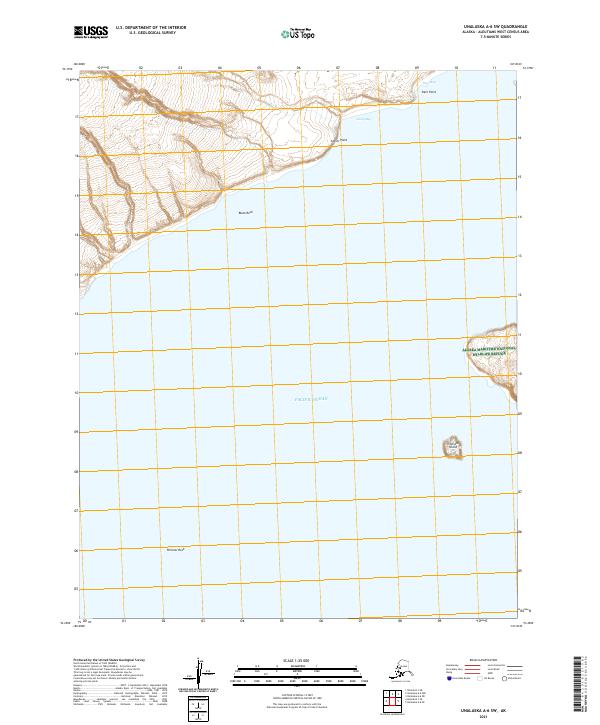
2021 · Unalaska A-6 SW
USGS Topo · 1:25,000
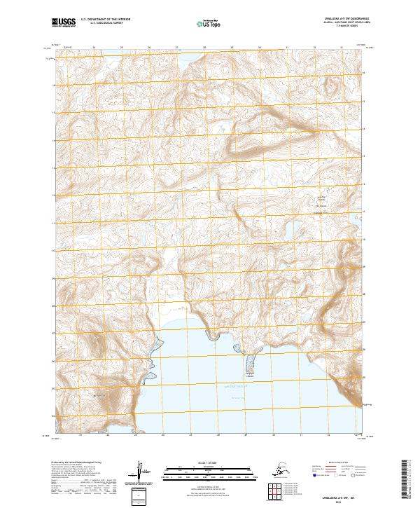
2021 · Unalaska A-5 SW
USGS Topo · 1:25,000
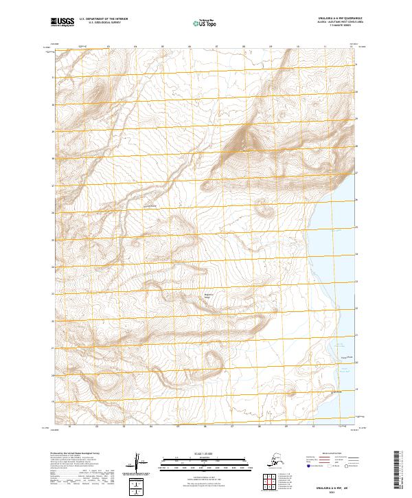
2021 · Unalaska A-6 NW
USGS Topo · 1:25,000
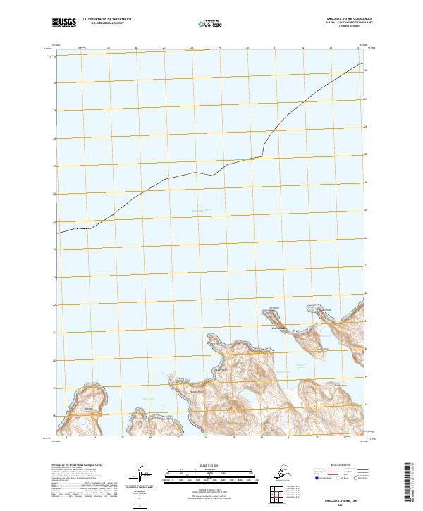
2021 · Unalaska A-5 NW
USGS Topo · 1:25,000
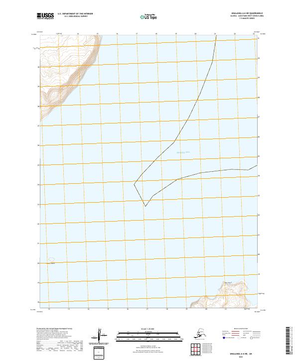
2021 · Unalaska A-6 NE
USGS Topo · 1:25,000