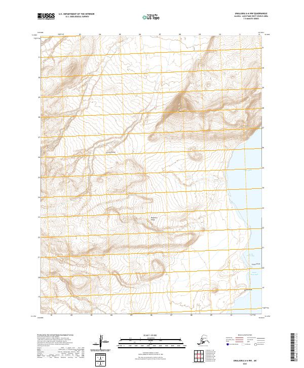
2021 Map of Unalaska A-6 NW
USGS Topo · Published 2021About this map
Umnak Island's eastern coastline reveals a landscape defined by sharp elevation changes and sheltered maritime bights. The terrain is anchored by the prominent peak of Mt Idak in the northeast, which overlooks the coastal waters of Otter Bight. Moving southward, the topography transitions into the elevated terrain of Magazine Ridge, a feature that parallels the shore before dropping toward the sea.
Find a feature on this map
12 named features on this map. Tap any name to fly to it.
Don’t see what you’re looking for? This feature index may not catch every label — zoom into the map to look around manually.
Map Details
Editions of this 2021 Unalaska A-6 NW Map
This is the sole edition of this map. No revisions or reprints were ever made.
Other maps of this area

1951 · Unalaska
USGS Topo · 1:250,000

1951 · Umnak
USGS Topo · 1:250,000

1958 · Umnak
USGS Topo · 1:250,000
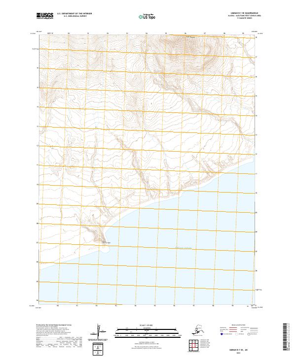
2021 · Umnak B-1 SE
USGS Topo · 1:25,000
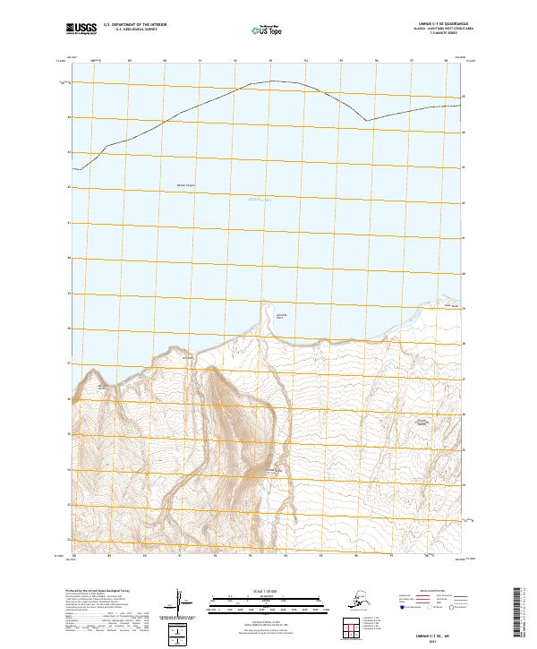
2021 · Umnak C-1 SE
USGS Topo · 1:25,000
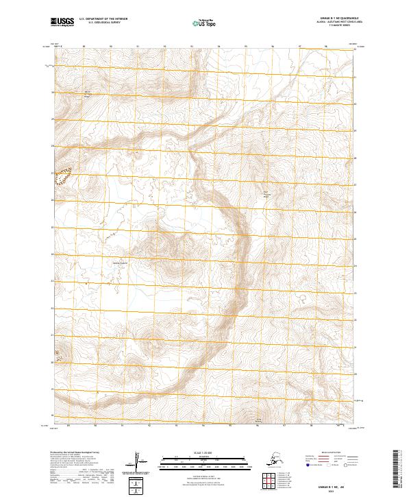
2021 · Umnak B-1 NE
USGS Topo · 1:25,000
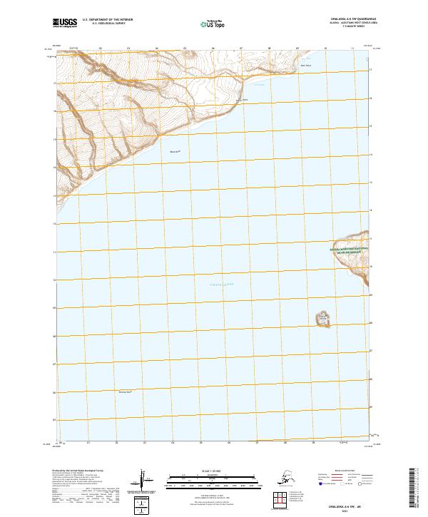
2021 · Unalaska A-6 SW
USGS Topo · 1:25,000
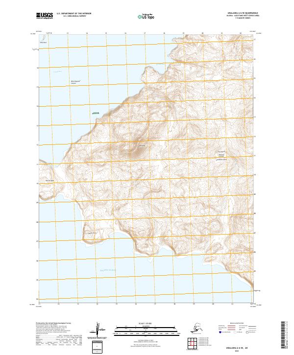
2021 · Unalaska A-6 SE
USGS Topo · 1:25,000
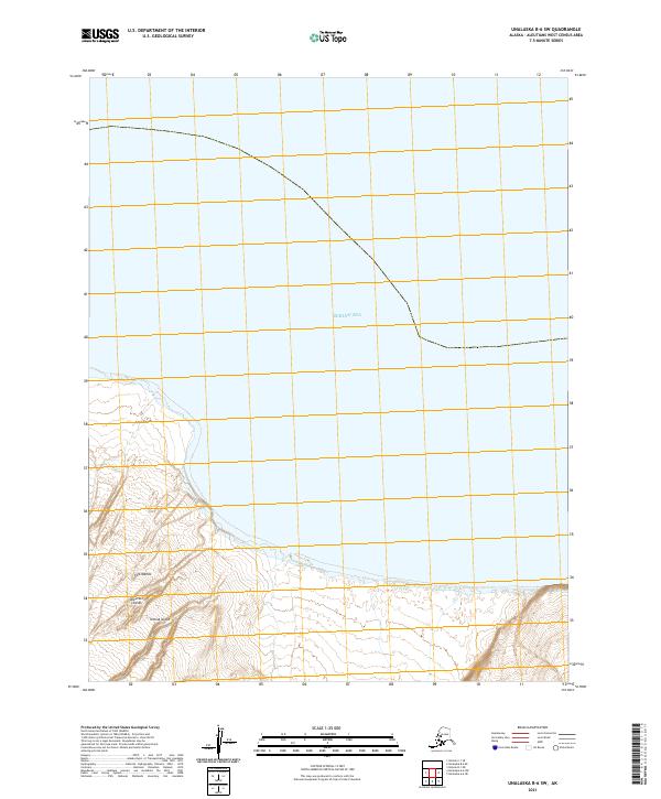
2021 · Unalaska B-6 SW
USGS Topo · 1:25,000
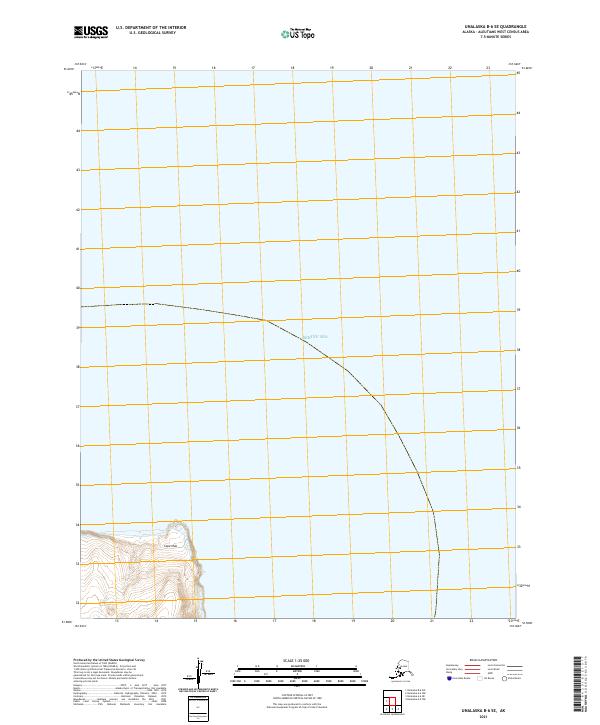
2021 · Unalaska B-6 SE
USGS Topo · 1:25,000