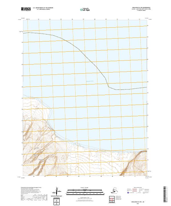
2021 Map of Unalaska B-6 SW
USGS Topo · Published 2021About this map
Umnak Island, situated within the Aleutian Islands chain, occupies the lower portion of this topographic survey, where steep coastal terrain meets the Bering Sea. The landscape is dominated by the northern reaches of the island, featuring the prominent shoreline at Cape Tanak. This location is part of the broader Fox Islands group, characterized here by a lack of modern development or named settlements, focusing instead on the natural geography and the Public Land Survey System divisions such as t77s r128w and t77s r129w. The map provides a detailed look at the island's elevation contours as they rise sharply from the coastline, offering a clear view of the landforms at the edge of the continental shelf.
Find a feature on this map
8 named features on this map. Tap any name to fly to it.
Don’t see what you’re looking for? This feature index may not catch every label — zoom into the map to look around manually.
Map Details
Editions of this 2021 Unalaska B-6 SW Map
This is the sole edition of this map. No revisions or reprints were ever made.
Other maps of this area

1951 · Unalaska
USGS Topo · 1:250,000

1951 · Umnak
USGS Topo · 1:250,000

1958 · Umnak
USGS Topo · 1:250,000
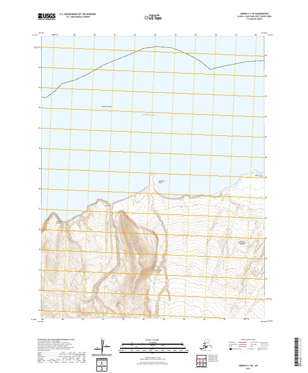
2021 · Umnak C-1 SE
USGS Topo · 1:25,000
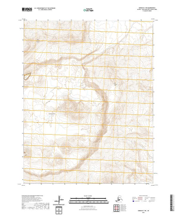
2021 · Umnak B-1 NE
USGS Topo · 1:25,000
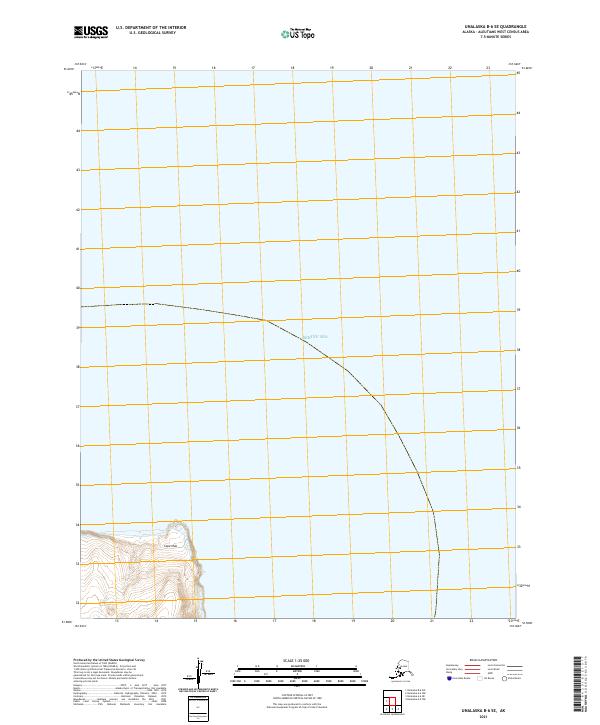
2021 · Unalaska B-6 SE
USGS Topo · 1:25,000
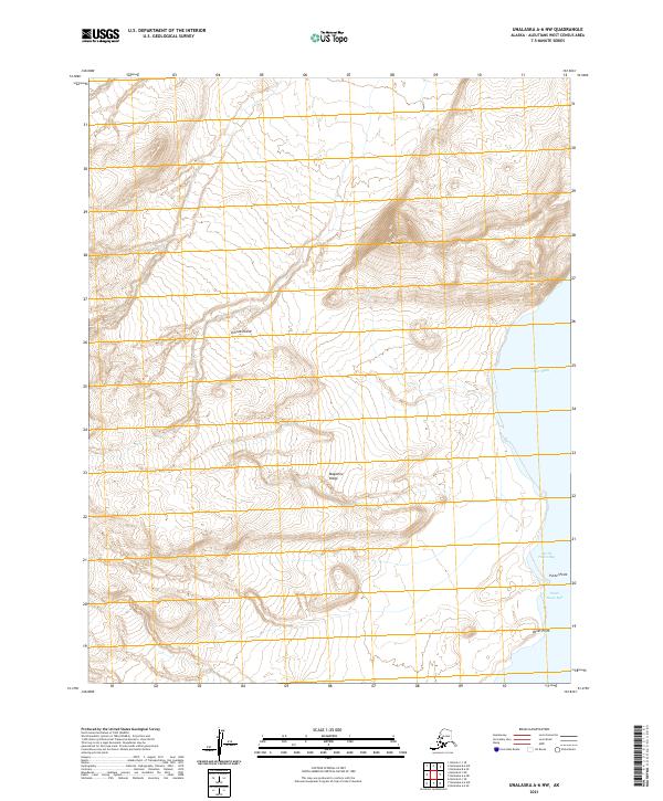
2021 · Unalaska A-6 NW
USGS Topo · 1:25,000
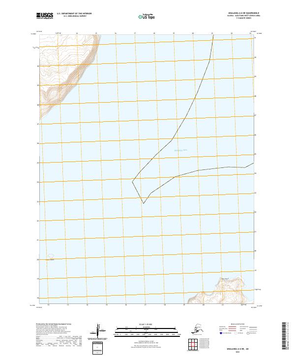
2021 · Unalaska A-6 NE
USGS Topo · 1:25,000