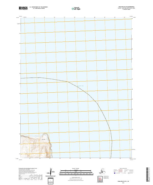
2021 Map of Unalaska B-6 SE
USGS Topo · Published 2021About this map
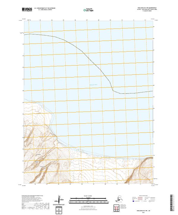
Cape Idak juts into the southwestern portion of this coastal survey, representing the primary terrestrial landmark in a landscape dominated by the Bering Sea. The map details a largely maritime environment where the Aleutian shoreline meets the open ocean, providing precise topographic data for the steep, rising terrain landward from the cape. Positioned within the t77s r128w and t77s r127w townships, the area reflects the extreme isolation of the Aleutian West region. The lack of named settlements or infrastructure underscores the wilderness character of the islands, where navigation is dictated by coastal landmarks rather than inland roads.
Find a feature on this map
4 named features on this map. Tap any name to fly to it.
Don’t see what you’re looking for? This feature index may not catch every label — zoom into the map to look around manually.
Map Details
Editions of this 2021 Unalaska B-6 SE Map
This is the sole edition of this map. No revisions or reprints were ever made.