
1989 Map of Unalaska A-5
USGS Topo · Published 1989About this map
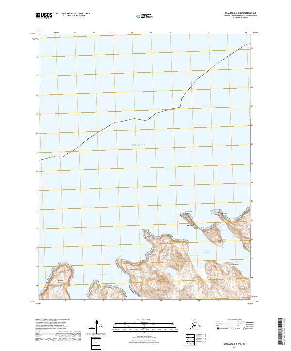
Chernofski Sheep Ranch sits at the head of Chernofski Harbor, a rare point of named habitation on this portion of Unalaska Island during the late 1980s. The landscape is defined by its maritime connections, evidenced by names like Mailboat Cove and Mutton Cove, while the interior rises into peaks such as Mount Aspid and Round Top Mountain. This coastal area is deeply indented by fjords and inlets, including Station Bay and Surveyor Bay, leading into the protected expanse of the Aleutian Islands Wilderness. The terrain is marked by distinctive features such as Black Fox Cliffs and the double peaks of Big Butte and Little Butte, illustrating the volcanic and erosional forces that shaped the Aleutian chain. The map details a wilderness environment where human footprint is largely confined to the sheep ranch and the naming of navigational landmarks like Cape Aiak and Peacock Point.
Find a feature on this map
55 named features on this map. Tap any name to fly to it.
Don’t see what you’re looking for? This feature index may not catch every label — zoom into the map to look around manually.
Map Details
Editions of this 1989 Unalaska A-5 Map
This is the sole edition of this map. No revisions or reprints were ever made.
Other maps of this area

1951 · Unalaska
USGS Topo · 1:250,000
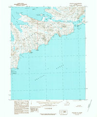
1989 · Unalaska A-4
USGS Topo · 1:63,360
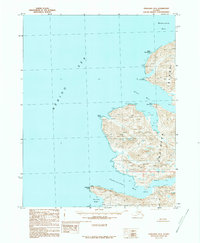
1989 · Unalaska B-4
USGS Topo · 1:63,360
2021 · Unalaska A-5 OE S NW
USGS Topo · 1:25,000
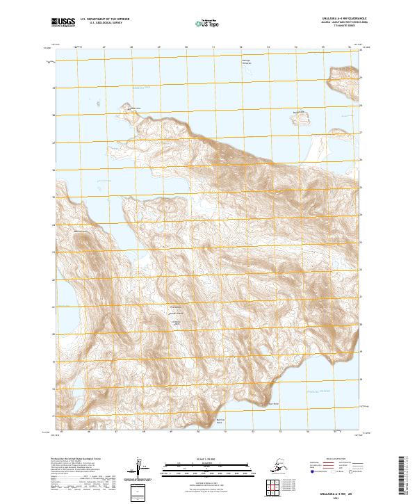
2021 · Unalaska A-4 NW
USGS Topo · 1:25,000
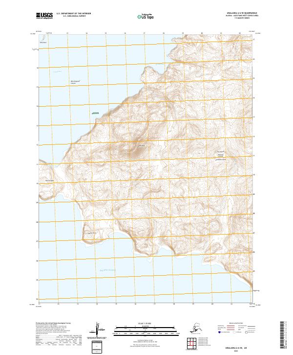
2021 · Unalaska A-6 SE
USGS Topo · 1:25,000
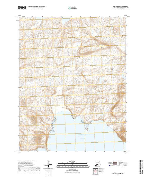
2021 · Unalaska A-5 SW
USGS Topo · 1:25,000
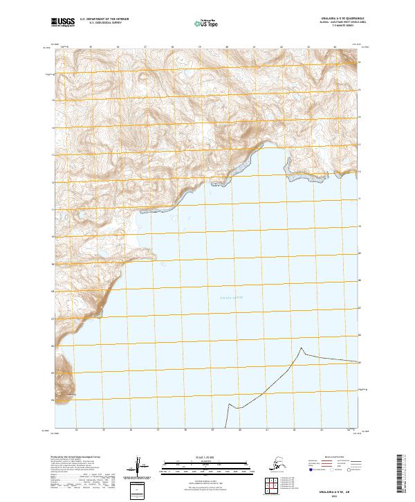
2021 · Unalaska A-5 SE
USGS Topo · 1:25,000
2021 · Unalaska B-6 SE
USGS Topo · 1:25,000
2021 · Unalaska A-5 NW
USGS Topo · 1:25,000