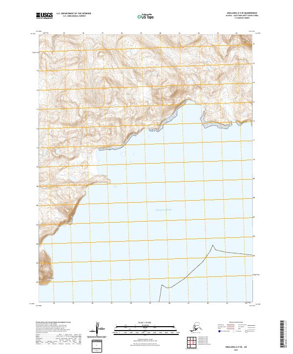
2021 Map of Unalaska A-5 SE
USGS Topo · Published 2021About this map
Cape Alak defines the southwestern coastline of this remote Aleutian terrain, where the steep interior slopes drop precipitously toward the Pacific Ocean. This 2021 study by the U.S. Geological Survey documents a rugged, unpopulated landscape characterized by dense contour intervals and deep coastal indentations. The survey shows the complex topography of the Unalaska region, with elevations rising sharply from the shoreline into unnamed interior peaks. The mapping includes Public Land Survey System identifiers such as t78s r125w and t79s r125w, providing a precise grid over this uninhabited maritime environment. It is a portrait of raw Aleutian geography, recording the natural state of the coastline and the surrounding waters without the presence of modern roads or settlements.
Find a feature on this map
6 named features on this map. Tap any name to fly to it.
Don’t see what you’re looking for? This feature index may not catch every label — zoom into the map to look around manually.
Map Details
Editions of this 2021 Unalaska A-5 SE Map
This is the sole edition of this map. No revisions or reprints were ever made.
Other maps of this area

1951 · Unalaska
USGS Topo · 1:250,000

1989 · Unalaska A-5
USGS Topo · 1:63,360
1989 · Unalaska A-4
USGS Topo · 1:63,360
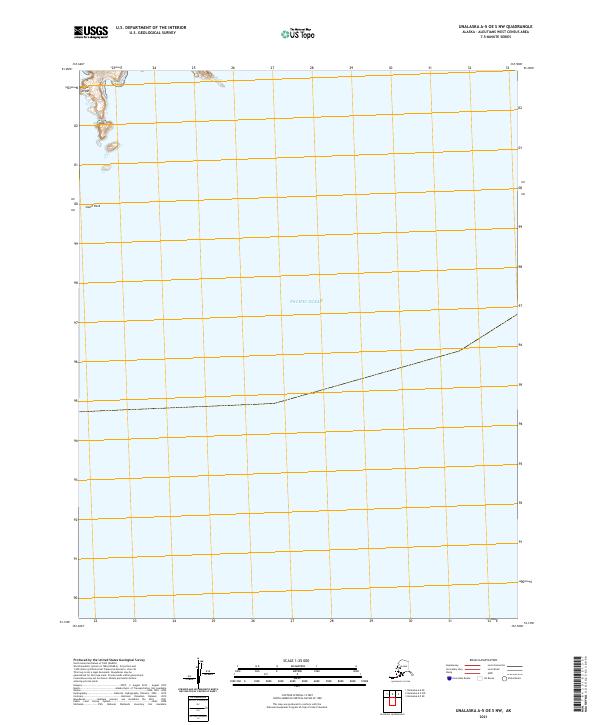
2021 · Unalaska A-5 OE S NW
USGS Topo · 1:25,000
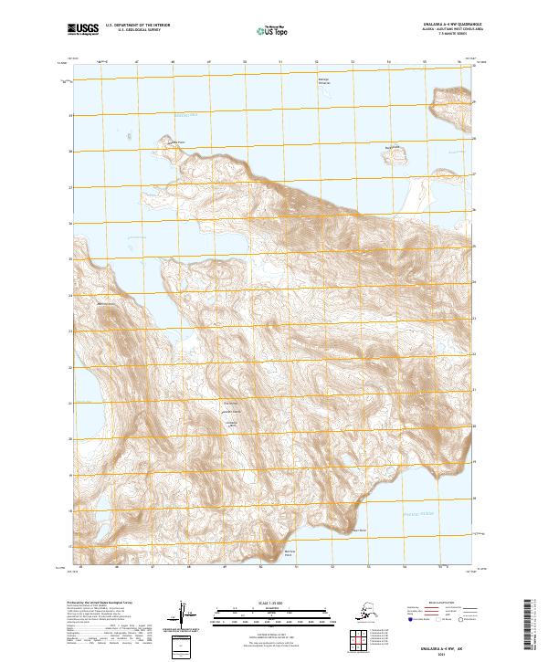
2021 · Unalaska A-4 NW
USGS Topo · 1:25,000
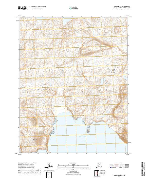
2021 · Unalaska A-5 SW
USGS Topo · 1:25,000
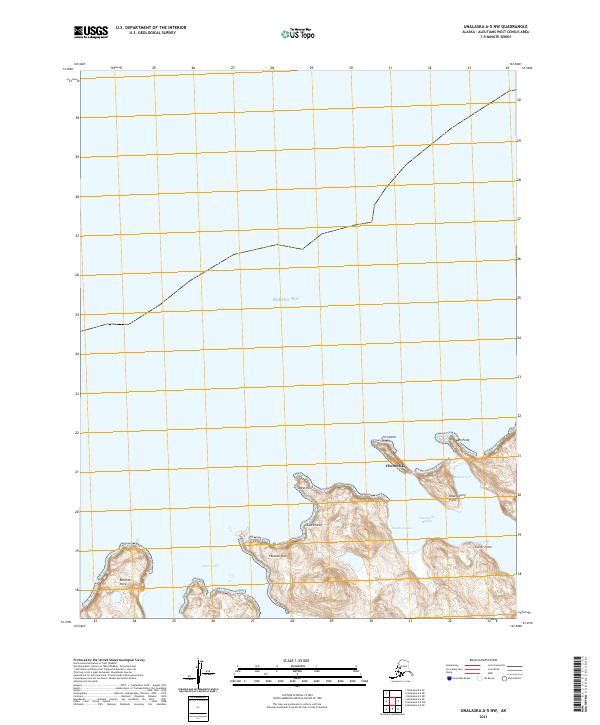
2021 · Unalaska A-5 NW
USGS Topo · 1:25,000
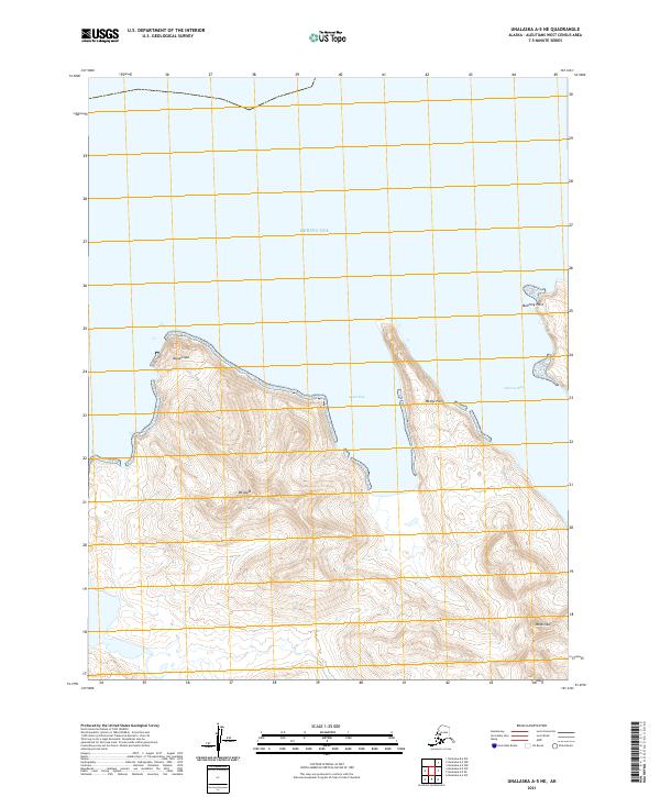
2021 · Unalaska A-5 NE
USGS Topo · 1:25,000
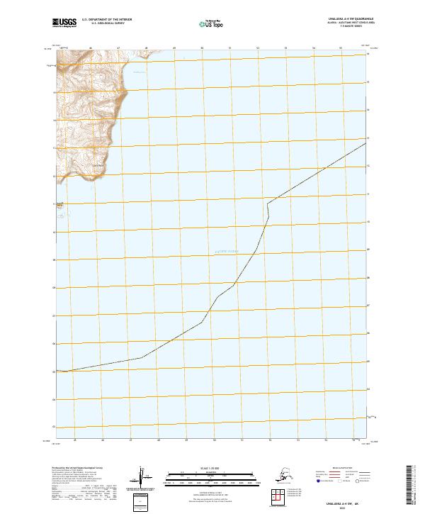
2021 · Unalaska A-4 SW
USGS Topo · 1:25,000