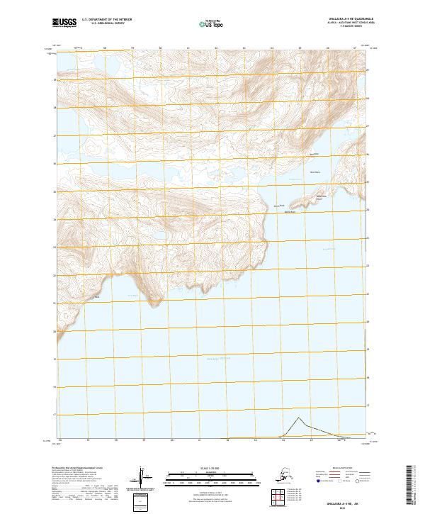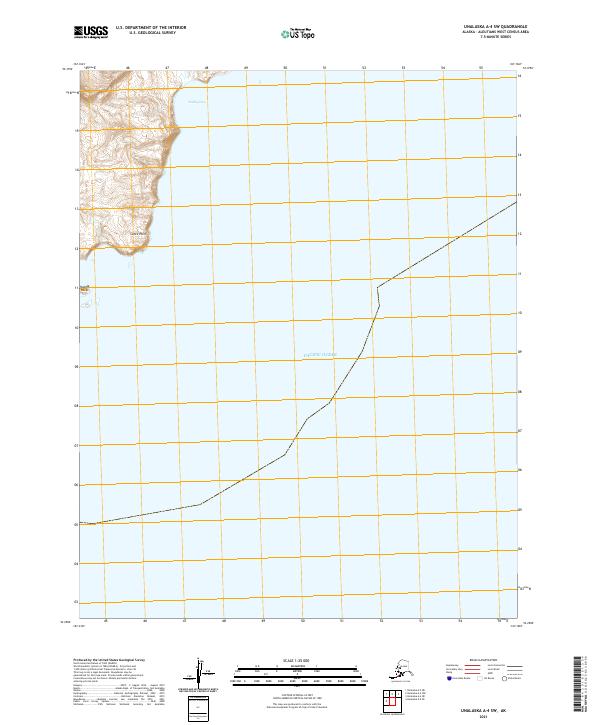
2021 Map of Unalaska A-4 SW
USGS Topo · Published 2021About this map
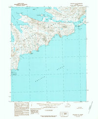
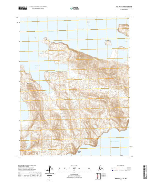
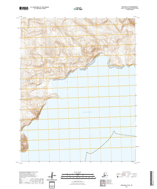
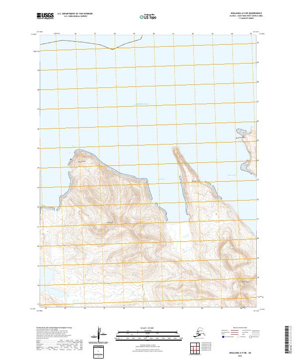
Lance Point stands as a prominent coastal feature on this western Aleutian shoreline, where the land meets the Pacific Ocean. This high-resolution U.S. Geological Survey representation of the Unalaska area captures the transition from steep coastal topography to the expansive waters of Riding Cove. The terrain is characterized by dramatic elevation changes rising quickly from the sea, with the Huddle Rocks positioned just offshore as navigational markers of the maritime landscape. Compiled using data from 2002 through 2021, the map provides precise land survey boundaries including sections of t78s r124w and t79s r124w, illustrating the intersection of the Public Land Survey System with this remote island geography.
Find a feature on this map
7 named features on this map. Tap any name to fly to it.
Don’t see what you’re looking for? This feature index may not catch every label — zoom into the map to look around manually.
Map Details
Editions of this 2021 Unalaska A-4 SW Map
This is the sole edition of this map. No revisions or reprints were ever made.