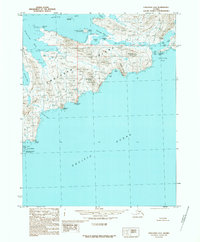
1989 Map of Unalaska A-4
USGS Topo · Published 1989About this map
Unalaska Island is defined by a series of deep-water bays and sharp ridges along its coastline in this late 1980s topographical study. The northern shore is marked by the sheltered Kashega Bay, which sits below Kudrin Lake and the rocky outcrops of the Kashega Pinnacles. Much of the interior and western coastline falls within the Aleutian Island Wilderness, preserving the natural state of the land between the Bering Sea and the Pacific Ocean. On the southern coast, the map documents significant landmarks for mariners and explorers, including Lion Bight and the steep elevation of Risky Ridge. The absence of roads or established trails on this sheet reflects the untamed nature of this portion of the Aleutian chain, where freshwater bodies like Brennen Lake are situated between massive features like Brennen Butte.
Find a feature on this map
31 named features on this map. Tap any name to fly to it.
Don’t see what you’re looking for? This feature index may not catch every label — zoom into the map to look around manually.
Map Details
Editions of this 1989 Unalaska A-4 Map
This is the sole edition of this map. No revisions or reprints were ever made.
Other maps of this area

1951 · Unalaska
USGS Topo · 1:250,000

1989 · Unalaska A-5
USGS Topo · 1:63,360
1989 · Unalaska A-3
USGS Topo · 1:63,360
1989 · Unalaska B-4
USGS Topo · 1:63,360

1989 · Unalaska B-3
USGS Topo · 1:63,360
2021 · Unalaska B-3 SW
USGS Topo · 1:25,000
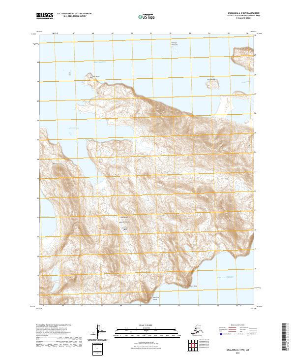
2021 · Unalaska A-4 NW
USGS Topo · 1:25,000
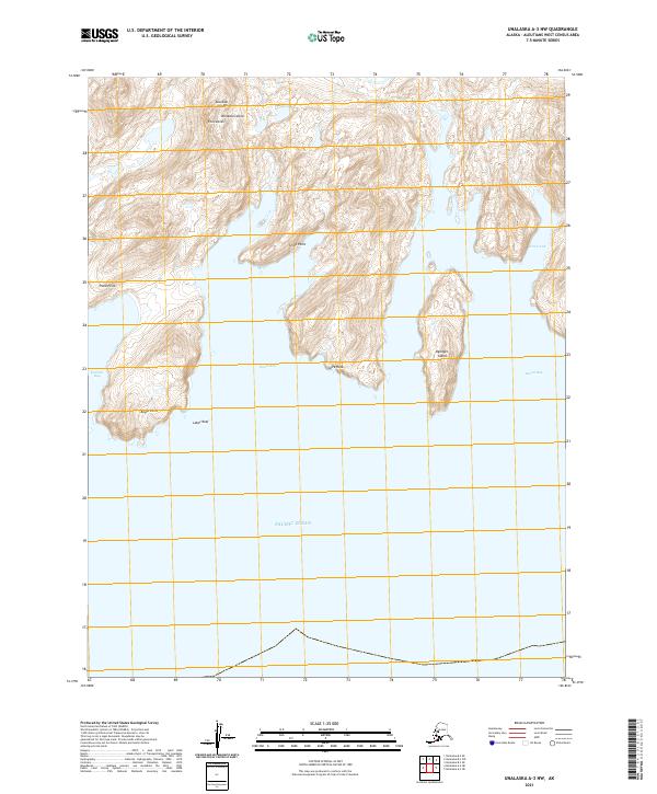
2021 · Unalaska A-3 NW
USGS Topo · 1:25,000
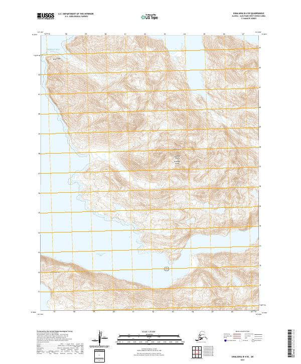
2021 · Unalaska B-4 SE
USGS Topo · 1:25,000
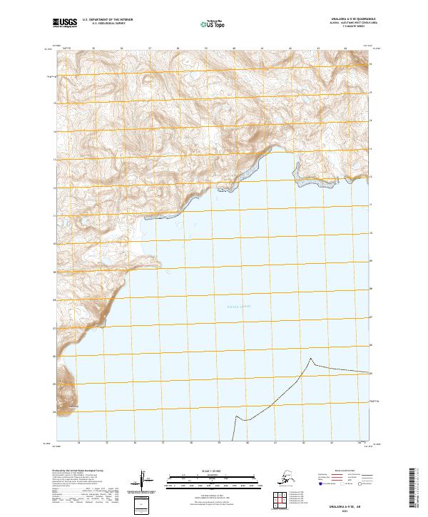
2021 · Unalaska A-5 SE
USGS Topo · 1:25,000