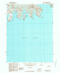
1989 Map of Unalaska A-3
USGS Topo · Published 1989About this map
Unalaska Island dominates this 1989 provisional survey, showing the complex fjord-like coastline of the Aleutians before the turn of the millennium. The landscape is defined by deep incisions of the sea, including Eagle Bay and Raven Bay, which carve into the landmass to create narrow peninsulas and sheltered waters like Crow Arm. Much of the interior is designated as part of the Aleutian Islands Wilderness, a label reflecting the preservation of this remote maritime environment. Navigational landmarks are frequent along the shore, from the sharp profile of Cape Prominence and Whalebone Cape to hazardous coastal features like Label Reef and Spire Rock. The map illustrates a wilderness shaped by tectonic and volcanic forces, where the land meets the Pacific Ocean in a series of steep heights and isolated islands such as Ogangen Island.
Find a feature on this map
24 named features on this map. Tap any name to fly to it.
Don’t see what you’re looking for? This feature index may not catch every label — zoom into the map to look around manually.
Map Details
Editions of this 1989 Unalaska A-3 Map
This is the sole edition of this map. No revisions or reprints were ever made.
Other maps of this area

1951 · Unalaska
USGS Topo · 1:250,000
1989 · Unalaska A-4
USGS Topo · 1:63,360
1989 · Unalaska B-4
USGS Topo · 1:63,360
1989 · Unalaska A-2
USGS Topo · 1:63,360

1989 · Unalaska B-2
USGS Topo · 1:63,360

1989 · Unalaska B-3
USGS Topo · 1:63,360
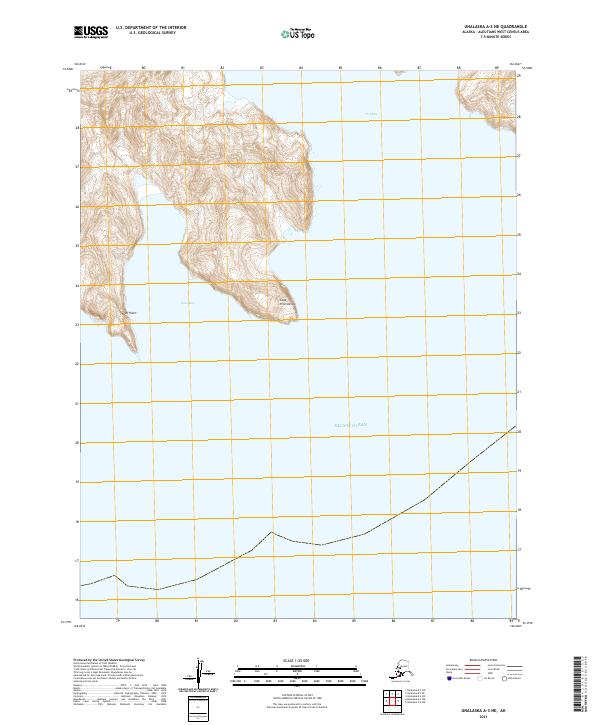
2021 · Unalaska A-3 NE
USGS Topo · 1:25,000
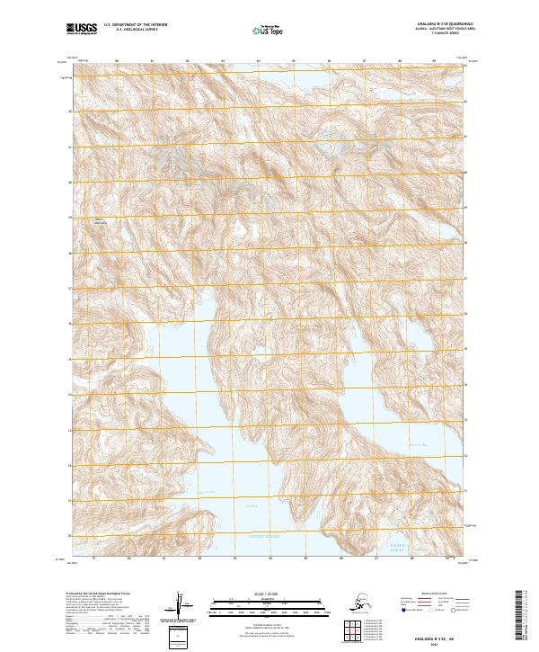
2021 · Unalaska B-3 SE
USGS Topo · 1:25,000
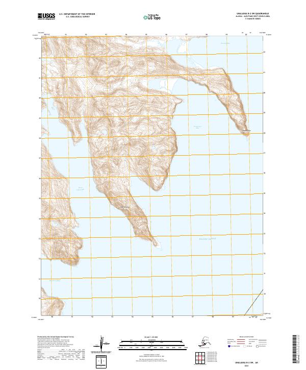
2021 · Unalaska B-2 SW
USGS Topo · 1:25,000
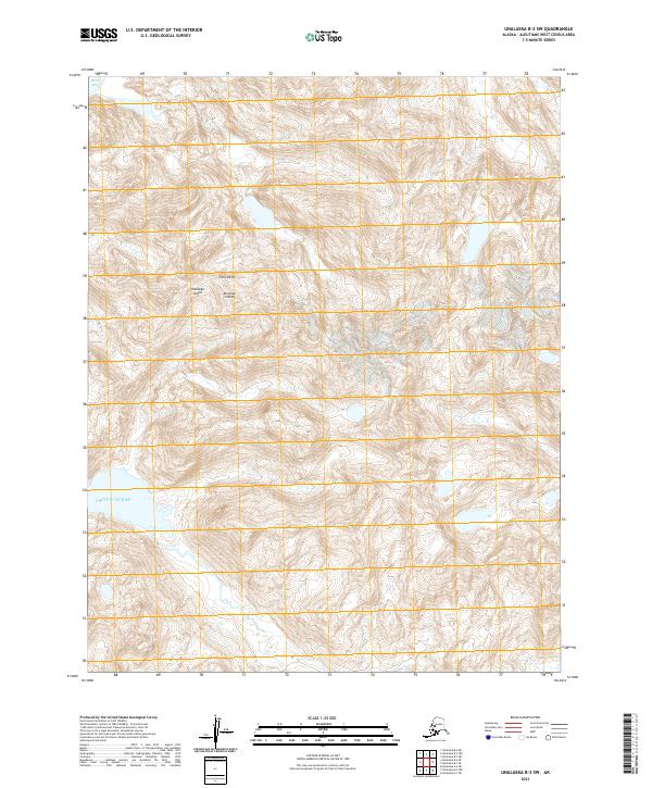
2021 · Unalaska B-3 SW
USGS Topo · 1:25,000