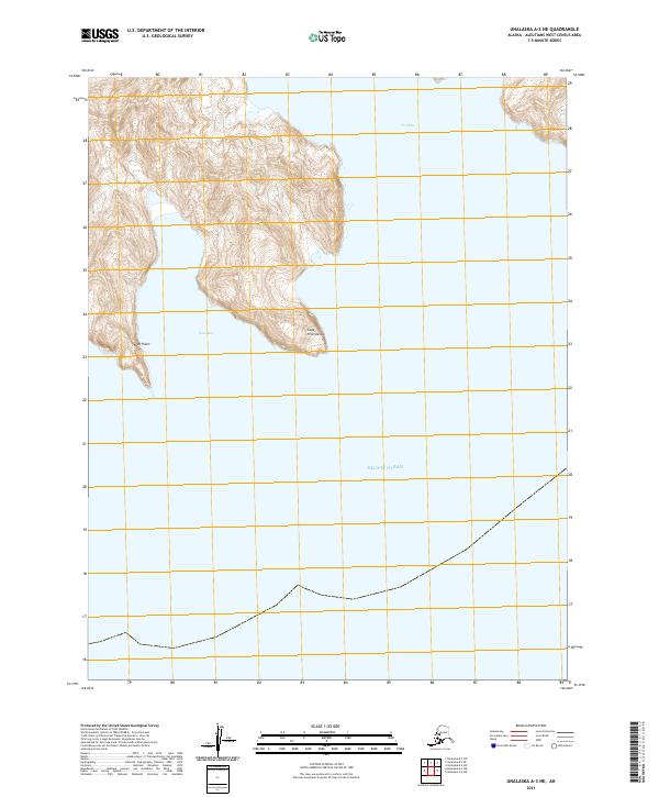
2021 Map of Unalaska A-3 NE
USGS Topo · Published 2021About this map
Cape Prominence and Reef Point define the dramatic maritime boundary of this coastal survey in the Aleutians West Census Area. This map captures the jagged coastline where the high elevation terrain abruptly meets the Pacific Ocean. The geography is dominated by deep indentations of the sea, most notably at Usof Bay and Open Bay, which create natural harbors against the steep contours of the land. The mapping illustrates the stark isolation of these points, emphasizing the relationship between the sea and the landmasses of the Unalaska region. While devoid of man-made structures or settlements, the topography reveals the natural navigation landmarks essential for maritime travel in these waters.
Find a feature on this map
9 named features on this map. Tap any name to fly to it.
Don’t see what you’re looking for? This feature index may not catch every label — zoom into the map to look around manually.
Map Details
Editions of this 2021 Unalaska A-3 NE Map
This is the sole edition of this map. No revisions or reprints were ever made.
Other maps of this area

1951 · Unalaska
USGS Topo · 1:250,000
1989 · Unalaska A-3
USGS Topo · 1:63,360
1989 · Unalaska A-2
USGS Topo · 1:63,360

1989 · Unalaska B-2
USGS Topo · 1:63,360

1989 · Unalaska B-3
USGS Topo · 1:63,360
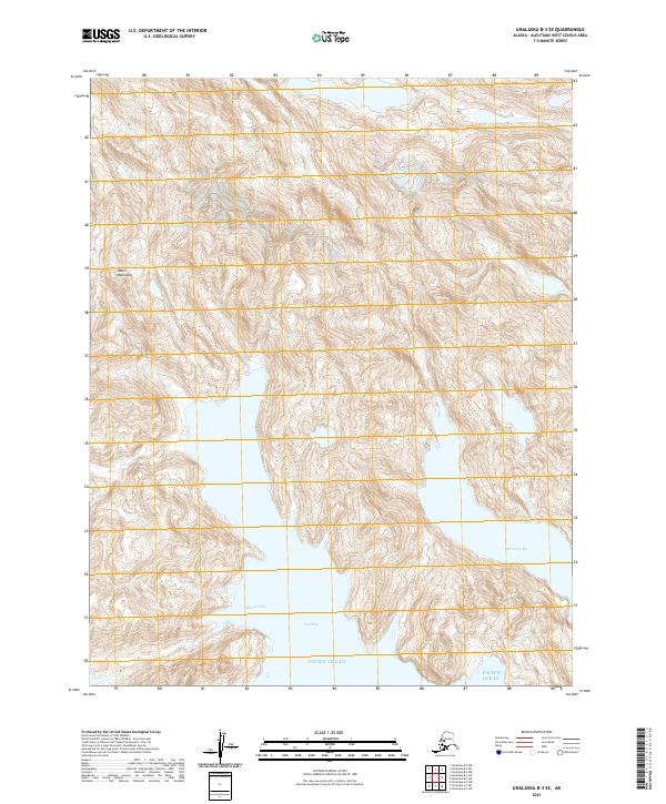
2021 · Unalaska B-3 SE
USGS Topo · 1:25,000
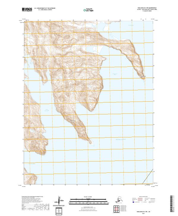
2021 · Unalaska B-2 SW
USGS Topo · 1:25,000
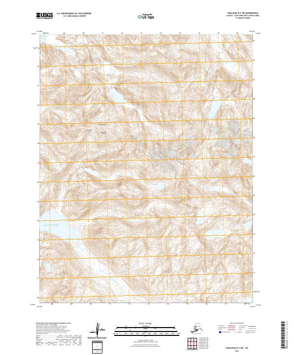
2021 · Unalaska B-3 SW
USGS Topo · 1:25,000
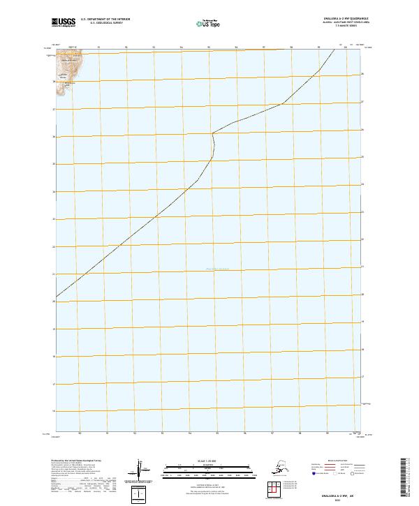
2021 · Unalaska A-2 NW
USGS Topo · 1:25,000
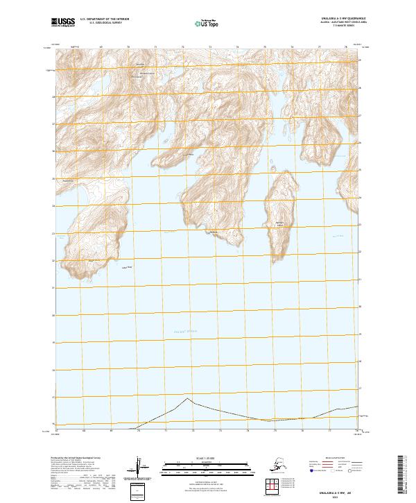
2021 · Unalaska A-3 NW
USGS Topo · 1:25,000