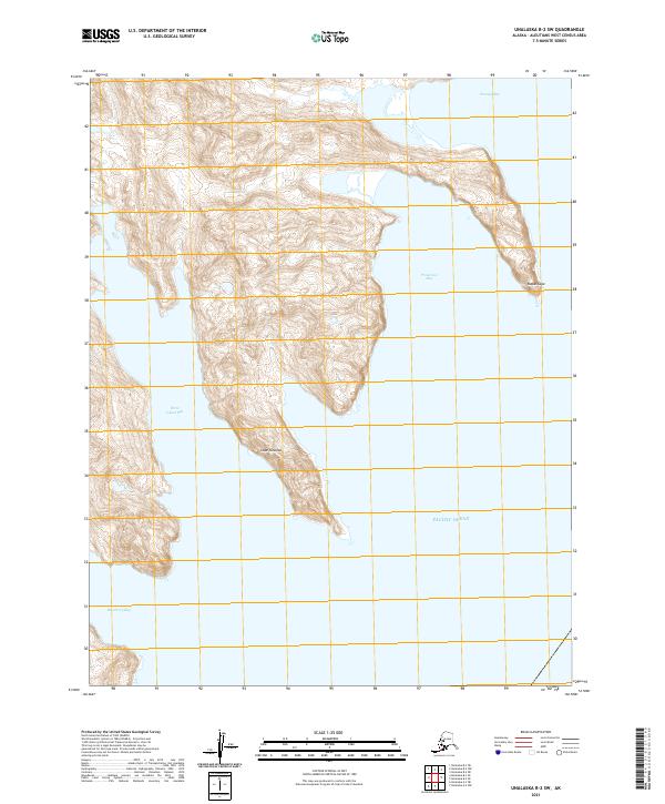
2021 Map of Unalaska B-2 SW
USGS Topo · Published 2021About this map
The dramatic shoreline of Unalaska Island meets the Pacific Ocean in this coastal survey, where deep inlets and steep-sided promontories define the landscape. The northern coastline is carved by the sheltered waters of Staraya Bay and Protection Bay, separated by a narrow finger of land terminating at Kayak Cape. Further south along the western shore, the land pushes out at Cape Yanaliuk between the significant recesses of Three Island Bay and Blueberry Bay. This map captures a landscape shaped by extreme maritime geography, showing the complex interplay of high-relief terrain and the sea. The absence of roads or permanent settlements emphasizes the character of the Aleutian chain, focusing instead on the hydrography and terrain features used by navigators and those exploring these remote island reaches.
Find a feature on this map
11 named features on this map. Tap any name to fly to it.
Don’t see what you’re looking for? This feature index may not catch every label — zoom into the map to look around manually.
Map Details
Editions of this 2021 Unalaska B-2 SW Map
This is the sole edition of this map. No revisions or reprints were ever made.
Other maps of this area

1951 · Unalaska
USGS Topo · 1:250,000
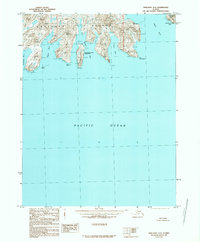
1989 · Unalaska A-3
USGS Topo · 1:63,360
1989 · Unalaska A-2
USGS Topo · 1:63,360

1989 · Unalaska B-2
USGS Topo · 1:63,360

1989 · Unalaska B-3
USGS Topo · 1:63,360
2020 · Unalaska B-2 SE
USGS Topo · 1:25,000
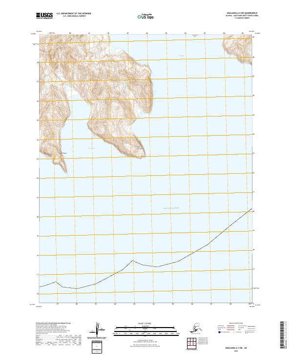
2021 · Unalaska A-3 NE
USGS Topo · 1:25,000
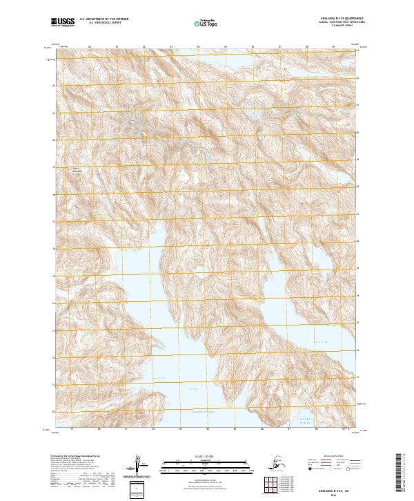
2021 · Unalaska B-3 SE
USGS Topo · 1:25,000
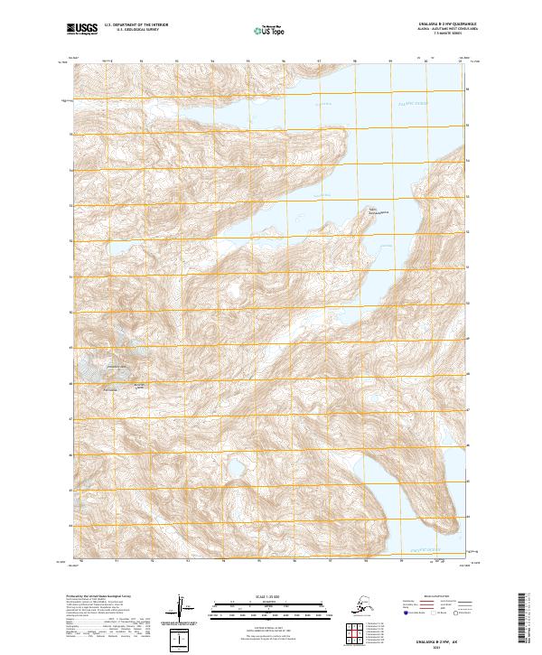
2021 · Unalaska B-2 NW
USGS Topo · 1:25,000
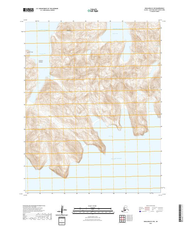
2021 · Unalaska B-2 NE
USGS Topo · 1:25,000