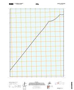
2020 Map of Unalaska B-2 SE
USGS Topo · Published 2020About this map
The Pacific Ocean dominates this maritime expanse within the Aleutians West Census Area, reflecting the isolation of Alaska's southwestern volcanic archipelago. This 2020 survey focuses almost entirely on the open sea, providing an essential record of the coastal approaches and hydrographic environment surrounding the Unalaska region. While devoid of land-based settlements or structures, the sheet is strictly organized by the Public Land Survey System, with township and range lines such as T76s R118w and T77s R119w defining the maritime grid. This cartographic layout serves as a primary reference for maritime navigation and jurisdictional boundaries in a region where the land gives way to the deep waters of the North Pacific.
Find a feature on this map
9 named features on this map. Tap any name to fly to it.
Don’t see what you’re looking for? This feature index may not catch every label — zoom into the map to look around manually.
Map Details
Editions of this 2020 Unalaska B-2 SE Map
This is the sole edition of this map. No revisions or reprints were ever made.
Other maps of this area

1951 · Unalaska
USGS Topo · 1:250,000
1989 · Unalaska B-1
USGS Topo · 1:63,360
1989 · Unalaska A-2
USGS Topo · 1:63,360

1989 · Unalaska B-2
USGS Topo · 1:63,360
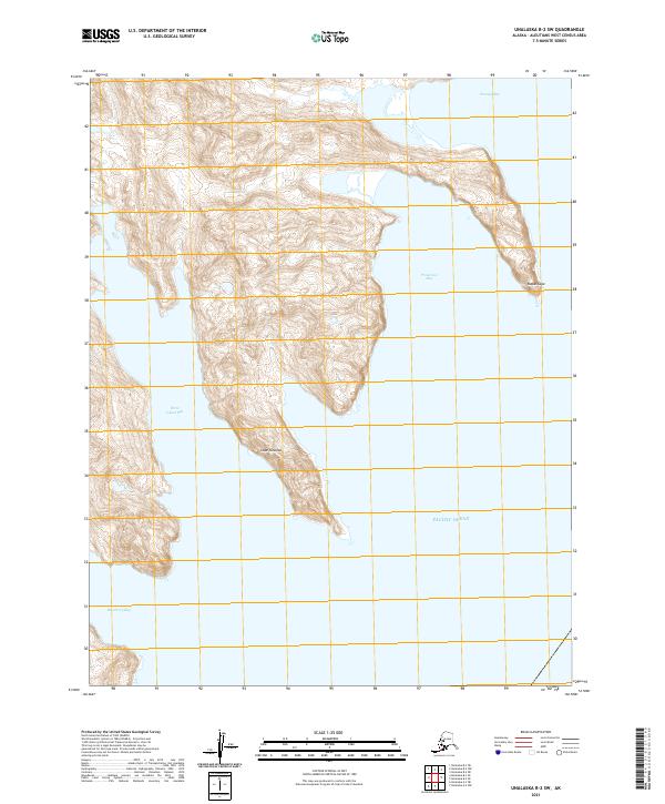
2021 · Unalaska B-2 SW
USGS Topo · 1:25,000
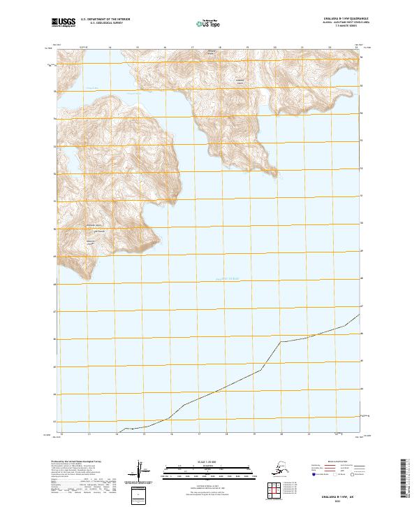
2021 · Unalaska B-1 NW
USGS Topo · 1:25,000
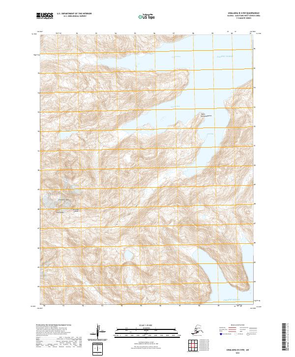
2021 · Unalaska B-2 NW
USGS Topo · 1:25,000
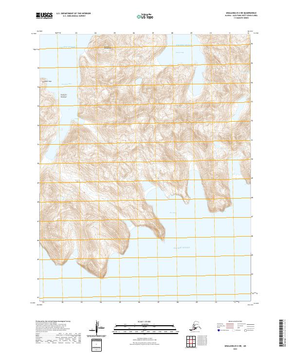
2021 · Unalaska B-2 NE
USGS Topo · 1:25,000
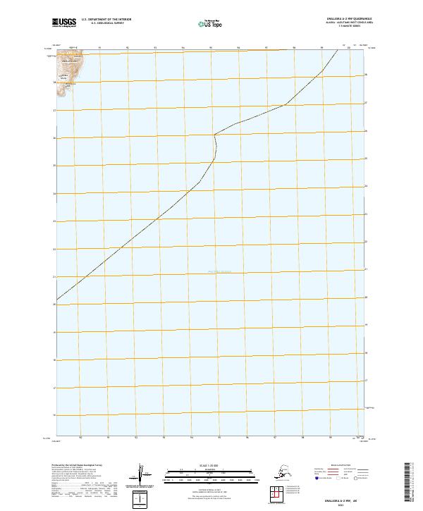
2021 · Unalaska A-2 NW
USGS Topo · 1:25,000